Where is Franklin County, Massachusetts?
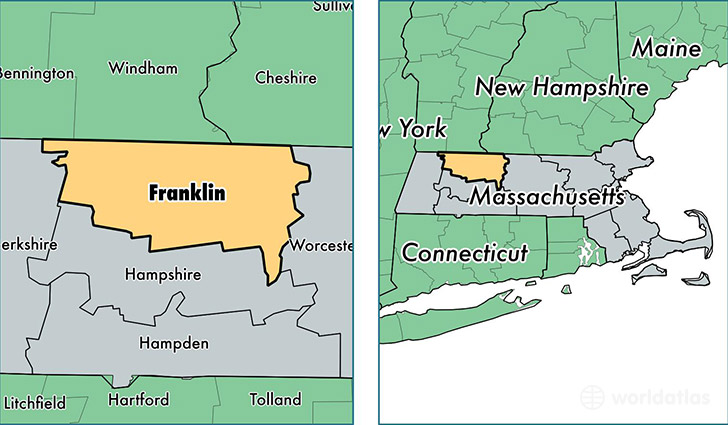
Franklin County is a county equivalent area found in Massachusetts, USA. The county government of Franklin is found in the county seat of Greenfield.
With a total 1,876.64 sq. km of land and water area, Franklin County, Massachusetts is the 1341st largest county equivalent area in the United States. Home to 70,862 people, Franklin County has a total 33580 households earning 53663 on average per year.
Franklin County, Massachusetts - Quick Facts
| FIPS Code | 25011 |
| Area Codes | 413,978 |
| Time Zone | EST |
| Major Cities | Greenfield (population: 17,741), Orange (population: 7,987), Turners Falls (population: 5,259), South Deerfield (population: 4,610), Shelburne Falls (population: 4,093), Sunderland (population: 3,692), Northfield (population: 3,039), Bernardston (population: 2,602), Montague (population: 2,275), Leverett (population: 1,855) |
| Land Area | 27,360 sq miles |
| Water Area | 699 sq miles |
| Household Income | $53,663 |
| Housing Units | 33,580 |
| Median Home Value | $219,500 |
| High School Grads | 92% of population |
| Holders of Bachelors Degrees | 34% of population |
| Retail Spending | $9,628 per capita |
| Food & Accomodation Sales | $80,305 per capita |
| Universities and Colleges | Conway School of Landscape Design |
This page was last updated on June 30, 2016.