Where is Middlesex County, Massachusetts?
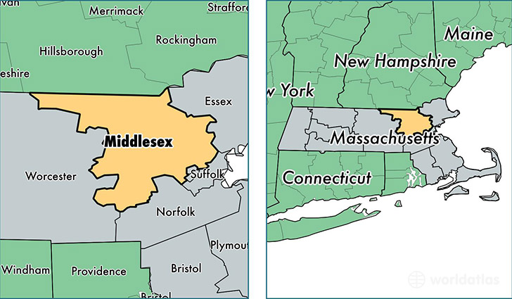
Middlesex County is a county equivalent area found in Massachusetts, USA. The county government of Middlesex is found in the county seat of Cambridge.
With a total 2,193.87 sq. km of land and water area, Middlesex County, Massachusetts is the 1088th largest county equivalent area in the United States. Home to 1,570,315 people, Middlesex County has a total 614474 households earning 82090 on average per year.
Middlesex County, Massachusetts offers the following attractions to visitors: Longfellow House Washington's Headquarters NHS, Lowell NHP, Lowell NHP River Reach, Minute Man NHP
Middlesex County, Massachusetts - Quick Facts
| FIPS Code | 25017 |
| Area Codes | 978,508,781,617 |
| Time Zone | EST |
| Major Cities | Lowell (population: 108,957), Cambridge (population: 107,710), Somerville (population: 75,519), Framingham (population: 69,975), Waltham (population: 62,007), Malden (population: 60,854), Medford (population: 59,280), Arlington (population: 43,816), Everett (population: 42,493), Woburn (population: 39,786) |
| Land Area | 606,302 sq miles |
| Water Area | 818 sq miles |
| Household Income | $82,090 |
| Housing Units | 614,474 |
| Median Home Value | $398,200 |
| High School Grads | 92% of population |
| Holders of Bachelors Degrees | 51% of population |
| Retail Spending | $13,325 per capita |
| Food & Accomodation Sales | $3,250,213 per capita |
| Universities and Colleges | Boston College, Cambridge College, Blaine the Beauty Career School-Waltham, Framingham State College, Harvard University, Middlesex Community College, Tufts University, Blessed John XXIII National Seminary |
This page was last updated on June 30, 2016.