Where is Hampden County, Massachusetts?
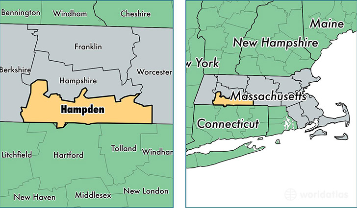
Hampden County is a county equivalent area found in Massachusetts, USA. The county government of Hampden is found in the county seat of Springfield.
With a total 1,642.7 sq. km of land and water area, Hampden County, Massachusetts is the 1630th largest county equivalent area in the United States. Home to 468,161 people, Hampden County has a total 191464 households earning 49094 on average per year.
Hampden County, Massachusetts offers the following attractions to visitors: Six Flags New England, Springfield Armory NHS
Hampden County, Massachusetts - Quick Facts
| FIPS Code | 25013 |
| Area Codes | 413 |
| Time Zone | EST |
| Major Cities | Springfield (population: 144,867), Chicopee (population: 55,595), Westfield (population: 42,022), Holyoke (population: 40,089), West Springfield (population: 28,540), Ludlow (population: 21,213), Agawam (population: 16,857), Longmeadow (population: 16,105), East Longmeadow (population: 15,802), Wilbraham (population: 14,394) |
| Land Area | 180,758 sq miles |
| Water Area | 617 sq miles |
| Household Income | $49,094 |
| Housing Units | 191,464 |
| Median Home Value | $197,900 |
| High School Grads | 84% of population |
| Holders of Bachelors Degrees | 25% of population |
| Retail Spending | $12,119 per capita |
| Food & Accomodation Sales | $661,740 per capita |
| Universities and Colleges | Kay Harvey Academy of Hair Design, Mansfield Beauty Schools |
This page was last updated on June 30, 2016.