Ouachita River
Ouachita River is a 974km long river that flows in a southeasterly direction through the two US States of Arkansas and Louisiana. The Ouachita River joins the Tensas River to form the Black River that finally drains into the Red River. A significant portion of Ouachita’s 65,000 sq. km drainage basin is located in the upper coastal plains of the US States of Arkansas and Louisiana and the alluvial valley of the US State of Mississippi. The Ouachita River is considered the country’s 25th longest river by the main stem.
The Course Of The Ouachita River

The Ouachita River originates in the Ouachita Mountains as a small mountain stream, close to the city of Mena in the Polk County, in the west-central part of the US State of Arkansas. Throughout its course, the Ouachita River contains five locks and dams located in the cities of Camden, Calion, and the town of Felsenthal in the State of Arkansas and the towns of Columbia and Jonesville in the State of Louisiana. The Ouachita River flows through eleven counties in Arkansas and five parishes in Louisiana.
An extensive portion of the upper stretch of the Ouachita River flows through the Ouachita National Forest. The river flows in the eastern direction into Lake Ouachita. This large artificial reservoir was created by the damming of the Ouachita River by the 70m tall and 6,400m long Blakely Mountain Dam. From Ouachita Lake, the river then flows southwards into a pair of artificial lakes, namely, Lake Hamilton and Lake Catherine, located close to Hot Springs in the central part of the US State of Arkansas. The Ouachita River then turns southwards close to the city of Malvern and receives waters from several tributaries, namely the Caddo River, Little Missouri River, Smackover Creek, and the Saline River. From here, the Ouachita River flows into Lake Jack Lee, located just to the north of the Louisiana state line. It is to be noted that the Felsenthal National Wildlife Refuge encompasses the Ouachita River, as it flows from the Saline River to the mouth of Lake Jack Lee.

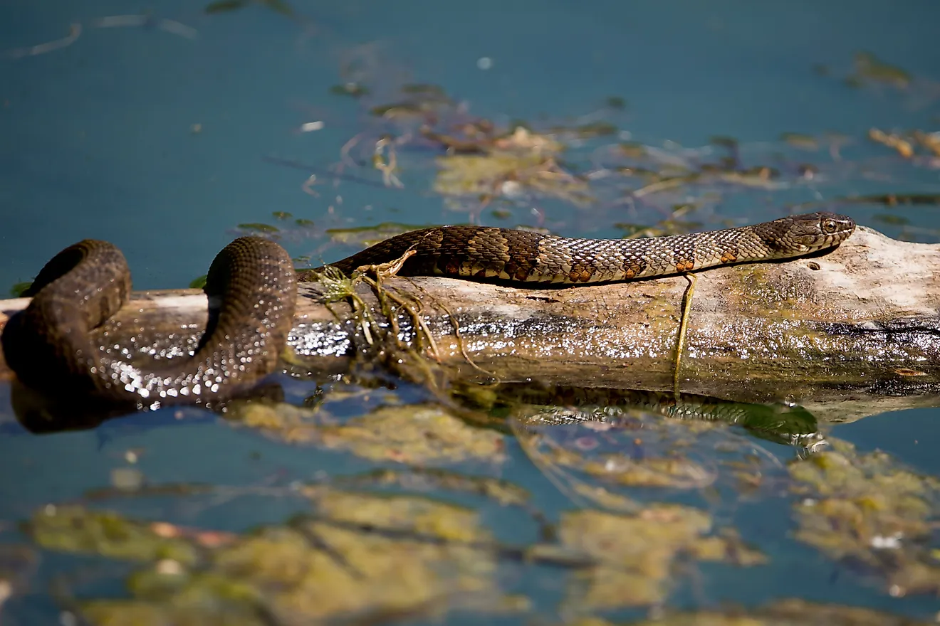
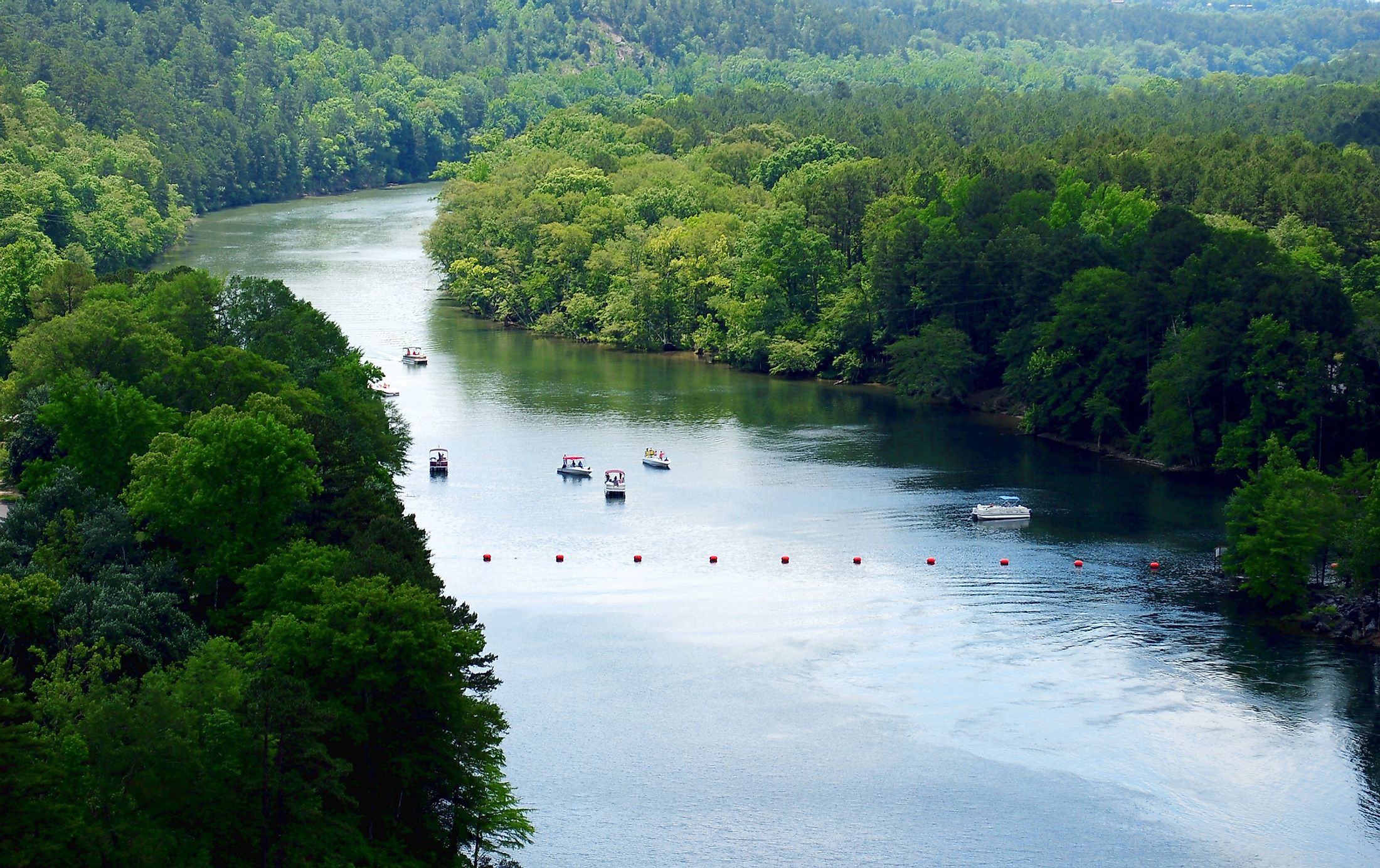
Below Lake Jack Lee, the Ouachita River continues to flow southward into the State of Louisiana. The Ouachita River is then joined by many tributaries, including the Boeuf River, Bayou Bartholomew, Bayou d’Arbonne, Bayou de Loutre, and the Tensas River. Below the meeting point of the Ouachita and Tensas Rivers, the river is named the Black River, which then continues to flow for about 66.9km in Louisiana’s Catahoula and Concordia parishes till it finally joins the Red River. Through the Old River Control Structure, the Red River drains both into the Mississippi and the Atchafalaya River. Throughout most of its length, the Ouachita River is lined with deep woods, including several wetlands. The river is used for commercial navigation from the city of Camden in Arkansas to its endpoint in Louisiana’s Catahoula Parish. From upstream of the city of Camden, the Ouachita River is used for recreational purposes. The numerous small creeks that drain into the river contain endemic native fishes. Other fish species found in the Ouachita River include freshwater drum, black bass, bream, white bass, gar, and rainbow trout.
Brief History Of The Ouachita River
The river has been named after the indigenous Ouachita tribe who lived along its shores. Some other historic tribes that lived along the river’s shores include the Choctaw, Caddo, Chickasaw, Tensa, and Osage Nation. It is believed that the term “Ouachita” had been derived from a Choctaw phrase that meant “good hunting grounds.” The indigenous ancestors of these historic tribes inhabited the banks of the river for several years and constructed many large earthwork mounds in the region. The area was under the control of the Spanish and the French during the late 1700s, and these early colonists used the Ouachita River as an important transportation route. The earliest historical records about the Ouachita River reveal that the Spanish explorer Hernando de Soto fought with many Native American tribes who lived along the river and resisted the advancement of Soto into their territories. In 1803, the surrounding area, including the entire Ouachita River valley, was bought by the United States from France as per the historic Louisiana Purchase. Several land speculators from New York and other southeastern cities were attracted to the fertile lands of the Ouachita River Valley. One of these investors was Meriwether Lewis Randolph, the youngest grandson of US President Thomas Jefferson. The banks of the Ouachita River also served as the site for many battles during the American Civil War. In 1902, the 542.34km long “Ouachita-Black Rivers Navigation Project” was started to create a navigable waterway from the city of Camden in Arkansas to the town of Jonesville in Louisiana.