The County That Sees The Most Lightning
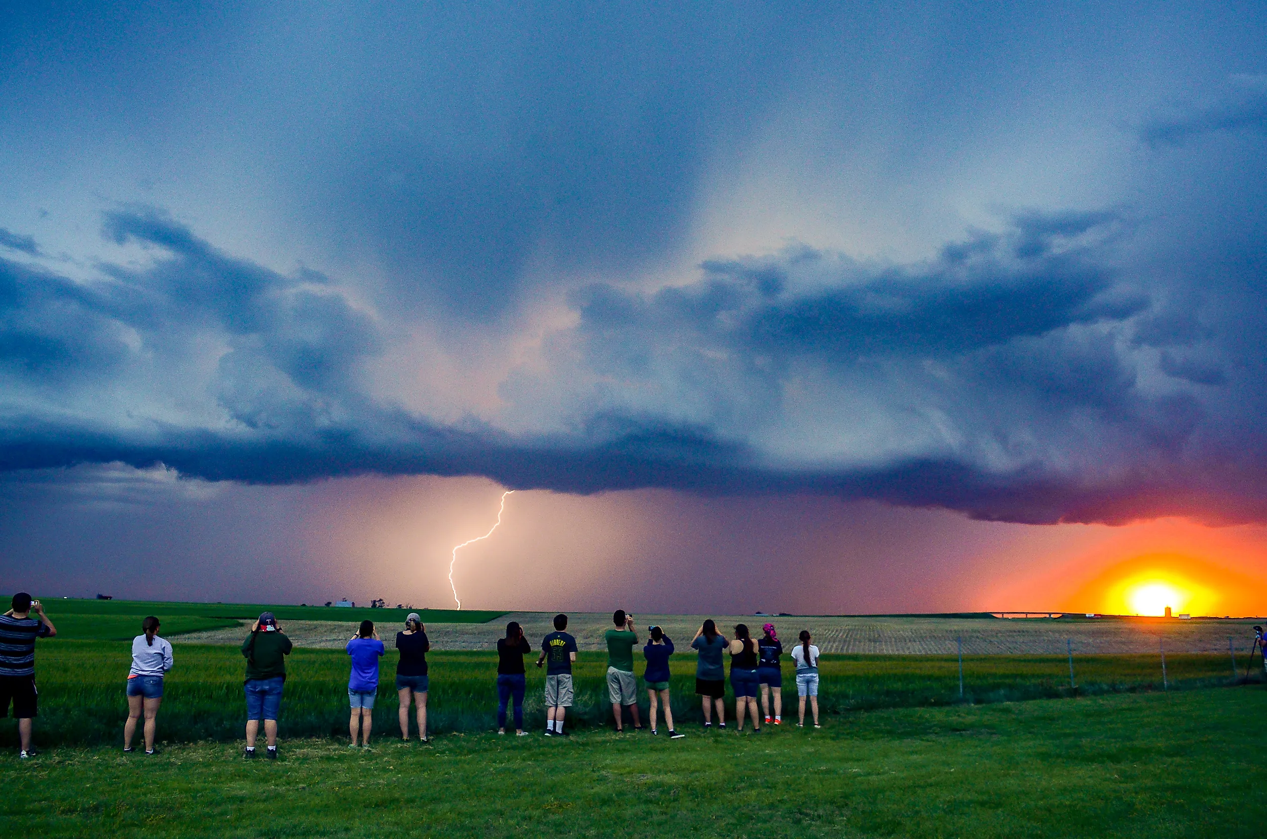
Every state likes to claim a weather superlative, and in 2025 Oklahoma quietly took one that had belonged to Florida for as long as anyone had kept score. The winner was not a big city or a stretch of storm-chasing highway, but Kay County, a rural county along the Kansas state line in the north of the state. It averaged 123.4 lightning flashes per square mile that year, more than any other county in the country. For a state already known for tornadoes and violent thunderstorms, a lightning title fits the reputation. The surprising part is how often powerful storm systems tracked directly over this one county.
What Exactly Is Lightning?

A single bolt of lightning can travel for miles across the sky before it ever reaches the ground. It is essentially a giant electrical spark created inside a thunderstorm. Strong winds toss water droplets, ice crystals, and tiny bits of hail around inside the cloud. As these particles collide, they separate electrical charges.
When the buildup becomes strong enough, electricity suddenly moves through the air, creating a flash of lightning. That flash can happen inside a cloud, between clouds, or between a cloud and the ground. Most lightning never actually reaches the ground, and flash counts include every discharge throughout the storm, not just the strikes people can see from below.
Right Place, Right Time

Rural Kay County lies in north-central Oklahoma, along the Kansas border in the heart of the Great Plains. Severe thunderstorms form frequently here when several ingredients line up: warm, moist air, an unstable atmosphere, and strong weather systems that lift air rapidly. In 2025, those ingredients came together again and again. The annual lightning report from AEM, the environmental firm that runs the Earth Networks Total Lightning Network, found that Oklahoma recorded about 73 flashes per square mile, the highest statewide concentration in the country. Kay County alone reached 123.4.
The Great Plains as a whole had an unusually lightning-active year. AEM placed several Plains states among the ten with the most intense lightning storms, and the region stood out even against its own stormy reputation. None of this means Kay County has permanently become the nation's lightning capital, but for 2025, it was.
The Storms Behind the Lightning

A big reason Kay County saw so much lightning was the frequent arrival of mesoscale convective systems, or MCSs. These are large, organized clusters of thunderstorms that can stretch across huge areas and last for several hours. Residents in Blackwell and Ponca City, the county's two largest towns, saw the pattern up close, with severe weather systems triggering rapid bursts of lightning through the summer.
Unlike a single storm that quickly passes through, an MCS keeps producing lightning, heavy rain, and strong winds as it crosses the Great Plains. Kay County lay repeatedly in the path of these large storm systems. AEM recorded nearly 88.4 million lightning flashes across the United States in 2025, about 9.8% more than the year before, and much of that surge landed on the Great Plains.
An Updraft's Role
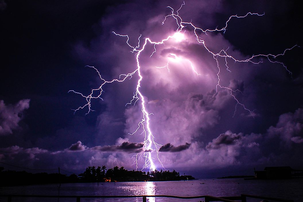
The physics inside a thunderstorm explains a lot. Strong updrafts push warm, moist air high into the cloud, carrying water and ice particles into zones where temperatures sit well below freezing. As the ice crystals and supercooled water collide, they build up electrical charges within the storm. A stronger updraft keeps those particles moving and colliding more effectively, and that raises the electrical energy available for lightning. Eventually the charge grows strong enough to discharge as a flash. Picture a giant pinball machine in the sky: the harder the updraft pushes, the faster the particles bounce and collide, until the storm finally releases the charge as lightning.
Will Kay County Keep the Lightning Crown?
Not necessarily. Lightning records shift year to year as moisture, storm tracks, atmospheric instability, and larger weather patterns move around the United States. Florida held the title for years thanks to its reliable summer thunderstorms, but in 2025 a persistent drought and a season with no landfalling hurricanes let Oklahoma edge ahead. The margin was thin: Oklahoma finished at 73 flashes per square mile to Florida's 72.9.
Kay County's record was not the work of one monster storm, but of a whole season of favorable conditions. The storm-and-lightning switch seemed to flip on and off over the county for months.