Which US County Has The Most Water Inside It?
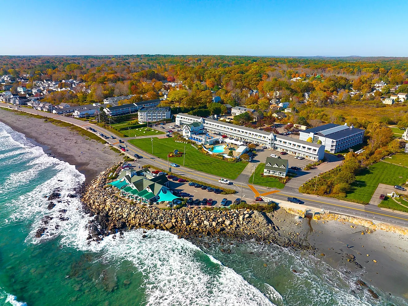
A county can be far more water than land. Keweenaw County, Michigan, is barely a tenth dry ground; the rest is Lake Superior, measured inside a boundary that runs miles past the shore. Florida's Monroe County is nearly as lopsided, its area filled out by the marine waters around the Keys. The ranking turns on that offshore line, not on how much land a county has. The eight below have more water inside their borders than anywhere else in the United States.
Keweenaw County, Michigan

Keweenaw has barely 540 square miles of land but more than ten times that area in water. The Census Bureau measures 5,426.154 square miles of water within the county boundary, the highest total for any US county. Lake Superior surrounds much of the long Keweenaw Peninsula, and the county boundary continues offshore instead of ending at the beach.
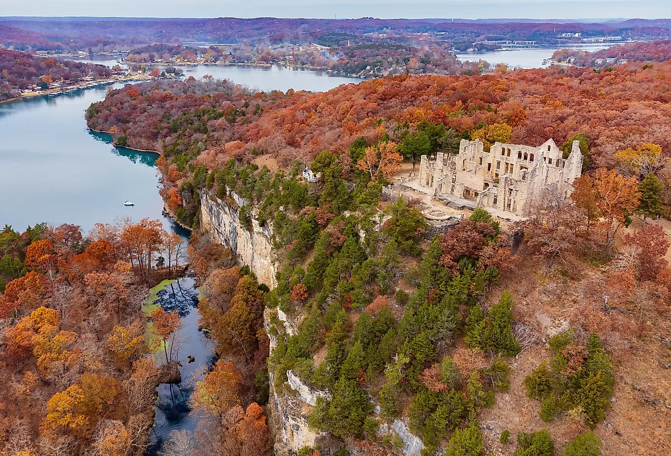
Far out in the lake, Isle Royale National Park also belongs to Keweenaw County. The National Park Service says the island park is accessible only by boat or seaplane, which puts a substantial stretch of open Superior between it and the mainland. Closer to shore, Copper Harbor occupies the peninsula's northern tip, where the lake is rarely far from view.
The county's narrow band of dry ground has a different kind of history. Keweenaw National Historical Park covers sites tied to the region's copper mining, an industry built on ancient volcanic rock rich in native copper. On the official county map, those mines and towns occupy a narrow strip beside a much larger expanse of Lake Superior.
Monroe County, Florida

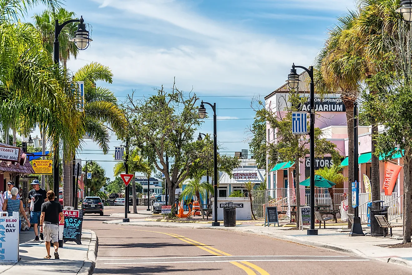
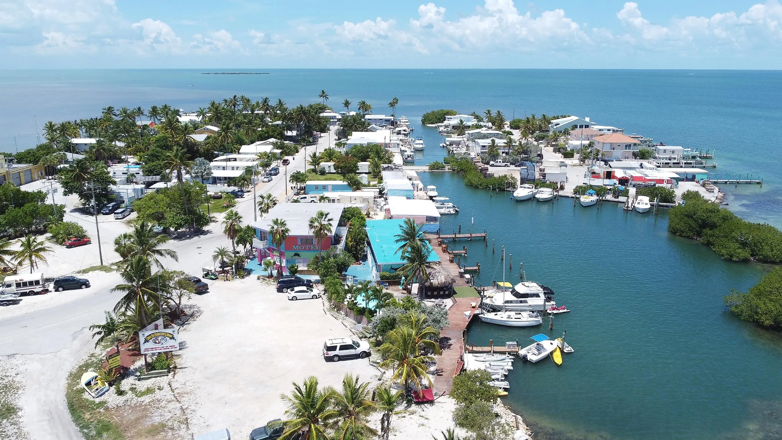
Monroe County contains 4,306.522 square miles of water and 983.043 square miles of land in the 2026 Census Gazetteer, placing more than four-fifths of its mapped area in water. The Florida Keys form the inhabited spine of the county, but the legal boundary spreads far beyond the islands. Key West sits near the end of the Overseas Highway, while Monroe continues roughly 70 miles farther west to Dry Tortugas National Park. There, Fort Jefferson occupies Garden Key amid coral reefs and open Gulf water. The National Park Service describes Dry Tortugas as a 100-square-mile park made mostly of water, an apt piece of a county whose marine area dwarfs its land. Monroe ranks second nationally for a completely different reason than Keweenaw: not a Great Lake, but a long island chain surrounded by the Gulf of Mexico and the Straits of Florida.
Alger County, Michigan

Pictured Rocks National Lakeshore occupies a spectacular stretch of Alger County's Lake Superior edge. The National Park Service puts the protected shoreline at about 42 miles and the highest sandstone cliffs at roughly 200 feet. Groundwater moving through the rock carries dissolved minerals that leave colored streaks across sections of the cliff face.
Those cliffs border a county with far more water than land. The Census Bureau records 4,132.645 square miles of water against 915.040 square miles of land, so about 82 percent of Alger's official area is water. Munising sits beside the lake at the western end of Pictured Rocks, where sightseeing boats head toward the cliff line. The boats soon leave the compact harbor behind and enter the much larger part of Alger County that has no roads, houses, or forests at all. It is simply Lake Superior, extending through thousands of square miles inside the county boundary.
Ontonagon County, Michigan

Lake Superior accounts for 2,429.463 square miles of Ontonagon County's mapped area, while land covers 1,310.978 square miles, according to the 2026 Census Gazetteer. Water therefore occupies about 65 percent of the county. The shoreline is backed by unusually rugged terrain for the Upper Midwest. In the Porcupine Mountains, Michigan's Department of Natural Resources protects tens of thousands of acres of forest, including a large tract of primary forest. Lake of the Clouds lies inland beneath the escarpment, high above the surrounding valleys. Superior, by contrast, begins at the county's northern edge and continues beyond the horizon. The two lakes are close enough to appear in the same day of exploring but belong to completely different scales. Ontonagon's Census total comes overwhelmingly from the Great Lake. Lake of the Clouds, by contrast, sits in steep, enclosed upland terrain, a sharp counterpoint to the immense freshwater basin to the north.
Leelanau County, Michigan

Only 347.200 square miles of Leelanau County are land. Another 2,184.992 square miles are classified as water by the Census Bureau, putting more than 86 percent of its official area underwater. The county occupies the Leelanau Peninsula between Lake Michigan and Grand Traverse Bay, then continues offshore around the Manitou Islands.
Sleeping Bear Dunes National Lakeshore includes 35 miles of mainland Lake Michigan shoreline, along with North and South Manitou islands. The dunes grew from thick glacial deposits that were later reworked by wind along the lake edge. At the high bluffs, the landscape drops sharply toward open water, and the peninsula looks much smaller than it does on a road map. The Census figure captures that imbalance numerically: Leelanau has little land compared with the enormous section of Lake Michigan enclosed by its county boundary.
Presque Isle County, Michigan

Water makes up about 74 percent of Presque Isle County's official area. The 2026 Census Gazetteer gives the county 1,914.033 square miles of water and 658.719 square miles of land, with Lake Huron accounting for most of the difference.
Some of the county's freshwater is moving fast. At Ocqueoc Falls, the Ocqueoc River crosses exposed limestone and drops through a series of rocky ledges. Michigan's Department of Natural Resources identifies it as the largest waterfall in the Lower Peninsula. The river eventually reaches Lake Huron near Ocqueoc.
Black Lake occupies another part of the county near Onaway State Park, but even a sizable inland lake barely changes a total dominated by Huron. Along the coast, the county boundary keeps going well beyond the beach into the Great Lake. That offshore territory is what makes a modest northern Michigan county one of the most water-heavy counties in the United States.
Door County, Wisconsin

Door County narrows between Green Bay and Lake Michigan until roads begin giving way to ferry routes. The Census Bureau counts 1,888.299 square miles of water and 481.936 square miles of land here, so nearly 80 percent of the mapped county is water. Its boundary also continues through islands beyond the end of the peninsula.
Peninsula State Park follows about eight miles of shoreline, where exposed rock belongs to the Niagara Escarpment, a long bedrock feature that continues eastward through the Great Lakes region. Farther north, Rock Island State Park can only be reached by boat, and visitor vehicles are not permitted there. Bays and open-water passages break up ordinary road travel again and again. Door County's water area is only about 1.1 square miles greater than Cook County, Minnesota's, but its narrow peninsula makes the ratio especially dramatic: less than 500 square miles of land sit inside a county map dominated by Lake Michigan and Green Bay.
Cook County, Minnesota

Cook County contains 1,887.200 square miles of water in the 2026 Census Gazetteer, just 1.099 square miles behind Door County. Its 1,452.607 square miles of land are pressed against the northwestern shore of Lake Superior, but the most curious water science in the county happens in its rivers. At Devil's Kettle in Judge C.R. Magney State Park, the Brule River splits around a rock outcrop and one branch plunges into a pothole. The drop once prompted claims that the water disappeared underground. Minnesota Department of Natural Resources hydrologists tested the idea in 2016 by measuring flow above and below the falls. They found 123 cubic feet per second upstream and 121 downstream, a difference within measurement tolerance, showing that the water rejoins the river below. Farther northeast, the historic Grand Portage route bypasses falls and rapids on the Pigeon River before reaching Lake Superior, which accounts for most of Cook County's enormous Census water total.
Why County Water Totals Vary So Much

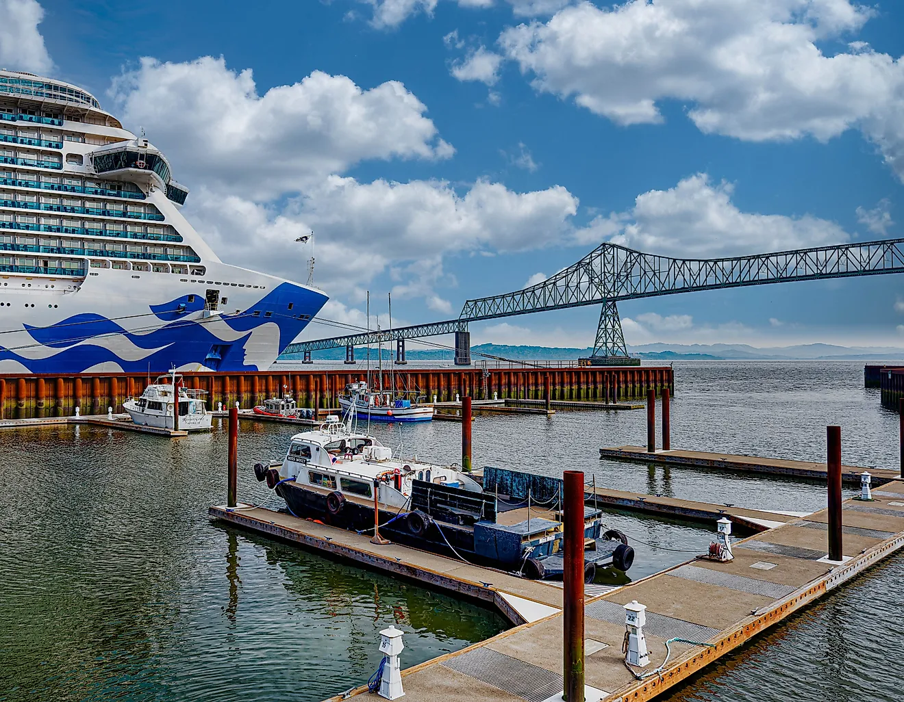
The counties at the top of this list share one trait: a boundary drawn far out into open water. On the Great Lakes, the Census Bureau assigns each shoreline county a slice of lake surface that can run to the international line with Canada or the border with a neighboring state, which is how Keweenaw, Alger, and Ontonagon end up with thousands of square miles that no one lives on. Monroe County's total comes from a different source, the marine waters of the Gulf of Mexico and the Straits of Florida around the Keys. In nearly every case, land area has little to do with the ranking. A county's place near the top depends on how far its boundary reaches past the shoreline, not on how much ground sits above water.