The Counties That Are Mostly Water
Looking at a map of Keweenaw County, Michigan, you'll see a narrow finger of land nearly swallowed by Lake Superior on every side. It's an extreme case, but far from a unique one. Across the country, a surprising number of counties are mostly water, with land almost an afterthought. St. Bernard Parish in Louisiana is shaped by bayous and a marshy, flood-prone landscape. Meanwhile, Monroe County, Florida's island communities sit along a highway that hops across dozens of bridges. Here's a closer look at the counties where more than 80% of the area is made up of water, representing some of the most extreme examples in the country.
Keweenaw County, Michigan (90.95% water)

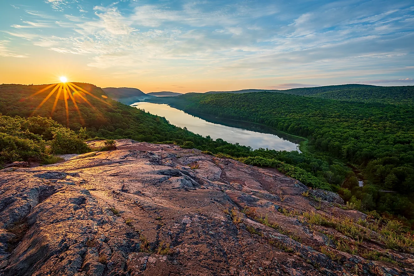
Keweenaw County stands out even among America's most watery counties, with over nine-tenths of the county's nearly 6,000 square miles made up of the waters of Lake Superior. Lake Superior is the defining feature of the county, surrounding the Keweenaw Peninsula on three sides. As a result, fewer than 2,200 people live there, per the Census Bureau's 2025 estimates. The "mainland" portion is primarily a rugged former copper mining region on Michigan's Upper Peninsula, making it remote even from its own state. However, the county's limited land area is also fairly notable as it includes the wild, protected expanse of Isle Royale National Park.
Leelanau County, Michigan (86.29% water)

Leelanau County, Michigan, comes in just behind its fellow Michigan county, with about 86% of its 2,532 square miles covered by water. Despite that enormous total area, only around 347 square miles are actually land, most of it forming the Leelanau Peninsula as it projects into Lake Michigan on the "tip of the pinky" of the Michigan mainland. As a result, water is never far away; the county has roughly 100 miles of shoreline, 33 inland lakes, and five islands. Unlike remote Keweenaw, however, Leelanau sits alongside the Traverse City area and is heavily geared toward recreation and tourism, with small waterfront communities, wineries, and a substantial portion of Sleeping Bear Dunes National Lakeshore among its best-known attractions.
Nantucket County, Massachusetts (84.79% water)

Nantucket County covers the county's namesake 46.1-square-mile island, along with roughly 257.5 square miles of water, resulting in nearly 85% of the county consisting of Atlantic Ocean water. These watery surroundings have shaped nearly every aspect of the island from the earliest human settlement. Nantucket is one of New England's best-known historic maritime communities, once home to a major whaling industry that survived into the 19th century before tourism became increasingly important. The island itself also adds some bodies of water to the calculation, with numerous ponds, bogs, and salt marshes. Beaches on the south and east of the island can experience higher surf and rougher water compared to the more sheltered inland side, which includes Nantucket Harbor and the historic town surrounding it.
St. Bernard Parish, Louisiana (82.48% water)

St. Bernard Parish (Louisiana's equivalent of a county) sprawls over a marshy, swampy area just east of New Orleans. It's made up of just 378 square miles of land compared to 1,778 square miles of water, with extensive canals, rivers (including the Mississippi), bayous, and the Gulf of Mexico all part of the parish's total area. This makes the interactions between parish residents and water a way of life, whether it's dealing with the high flood risk throughout the area or taking advantage of the area's expansive fishing and boating opportunities. Most of the parish's developed communities, including Chalmette (site of the War of 1812's Battle of New Orleans), Arabi, Meraux, Poydras, and Violet, are concentrated on its relatively limited dry ground closer to the Mississippi River.
Alger County, Michigan (81.87% water)

Alger County is another Michigan entry whose enormous size is mostly a result of proximity to Lake Superior. It has just 915 square miles of land but roughly 4,133 square miles of water, putting its percentage of water at about 82%. This helps give communities such as Munising and Grand Marais their distinctly waterfront setting. Water is also central to Alger County's best-known attraction, Pictured Rocks National Lakeshore, where the lake meets colorful sandstone cliffs, waterfalls, beaches, dunes, and inland lakes along the county's northern edge. But Alger is watery even away from Lake Superior, with dozens of smaller inland lakes as well as plentiful rivers and streams spread throughout the county.
Monroe County, Florida (81.42% water)

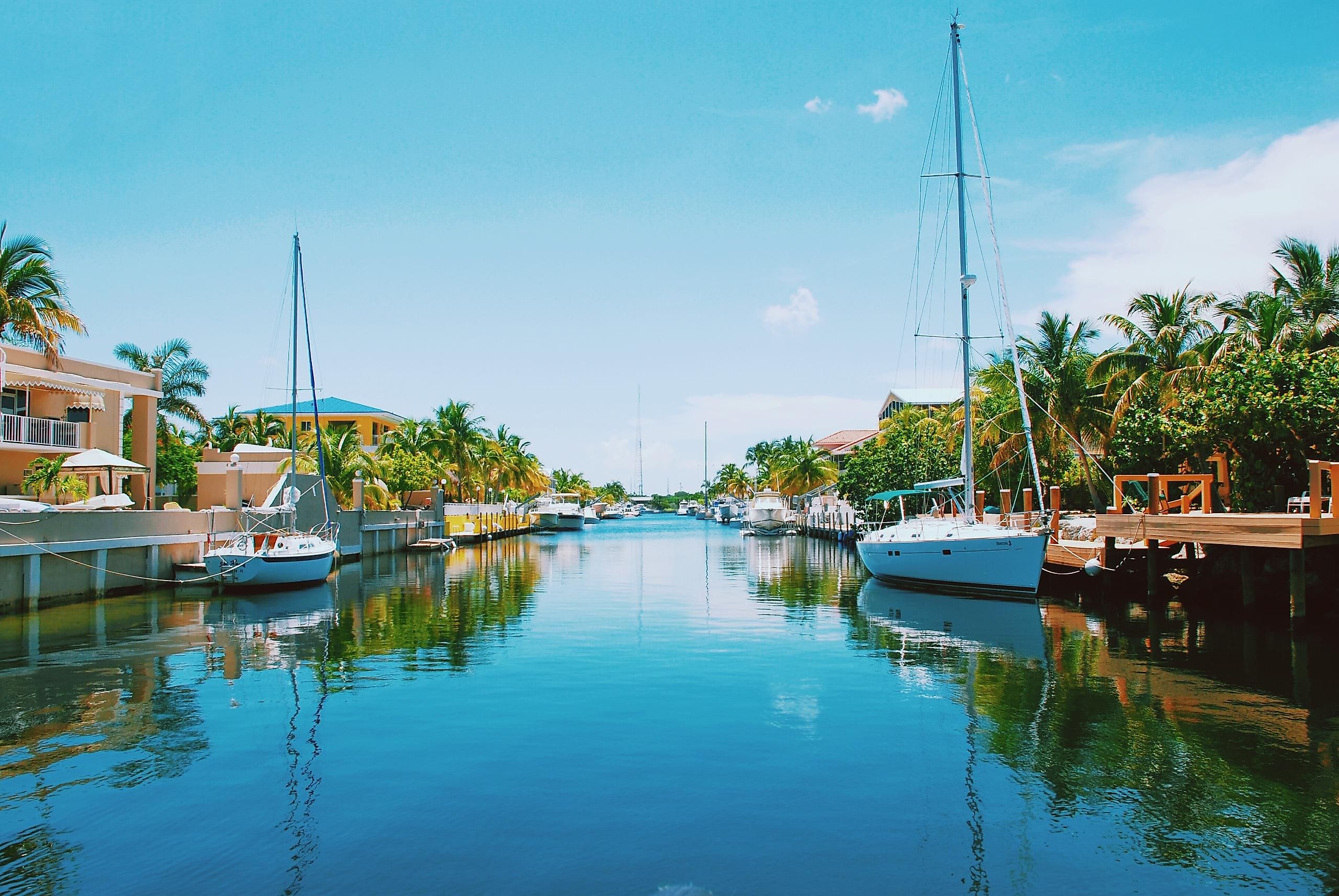
It's likely no surprise that a county best known for island destinations like Key West and Key Largo would be one of America's most watery. It spans nearly 5,300 square miles, of which barely 980 are dry land. It's split between a nearly uninhabited mainland portion that's primarily made up of Everglades National Park and the more well-known, but still sparsely populated, islands known as the Keys. Water is more than a geographic feature for those living in Monroe; it's a way of life, encompassing fishing, boating, and a variety of other offshore pursuits. Even getting around the Keys reinforces that relationship with water, with the 113-mile Overseas Highway crossing 42 bridges as it links the island chain from the mainland to the southernmost point in the contiguous 48 states.
In These Counties, Dry Land Is the Exception
These counties take the idea of water-dominated geography to an extreme, with dry land accounting for less than one-fifth of their total area. In the Upper Peninsula, Keweenaw and Alger counties are scattered with shoreline towns, with Isle Royale and the cliffs of Pictured Rocks filling out most of the map. Farther south, Nantucket and Monroe are home to islands and inlets, turning scarce dry ground into old whaling ports or a highway strung across 42 bridges. In St. Bernard Parish, that same ratio of land to water is less a curiosity than a daily flood risk that shapes where people can safely build.