The Border Counties Time Forgot
For some odd county borders, the map no longer reflects the territory. Along America's international and state borders, old treaties, river bends, mountains, and unusually remote geography have created places that remain strikingly isolated. In northern Minnesota, reaching part of Lake of the Woods County by car requires leaving the United States and driving through Canada, making it more of a spectacle than a habitable locale. Hundreds of miles away, a loop of the Mississippi leaves another piece of Kentucky almost completely surrounded by Tennessee. For one reason or another, time has forgotten these small counties, making them ripe for discovery.
Lake of the Woods County, Minnesota

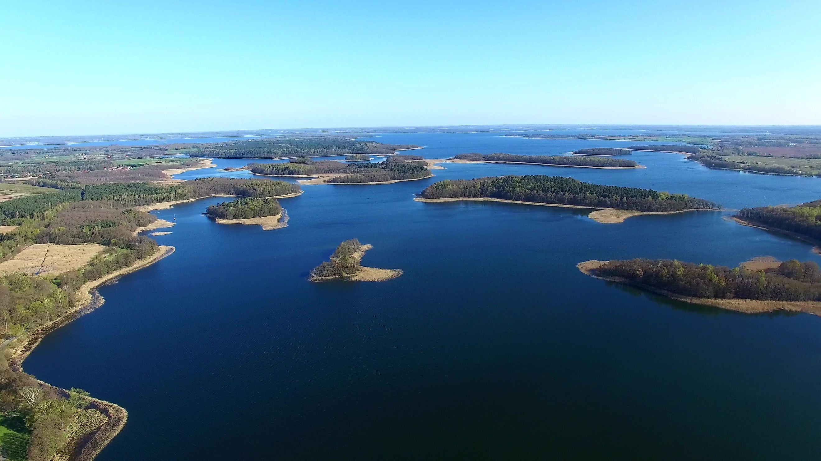
Lake of the Woods County reaches across the U.S.-Canada border into one of the strangest pieces of American geography. Its Northwest Angle is the only part of the contiguous United States north of the 49th parallel, apart from portions of the lake itself. Reaching the Angle by road requires driving through Manitoba, Canada, before crossing back into Minnesota.
The oddity dates to the boundary language established after the American Revolution. The 1783 Treaty of Paris relied on inaccurate geographic knowledge when it described a line running west from the northwestern point of Lake of the Woods toward the Mississippi River. The Convention of 1818 later established the 49th parallel as the border farther west, leaving the Northwest Angle attached to the United States. The resulting boundary still exists today.
Lake of the Woods County had an estimated 3,770 residents in 2025. Much of the Northwest Angle remains a landscape of forest, water, gravel roads, and fishing resorts. Boats and small aircraft provide additional connections when travelers do not want to make the international drive. Fishing remains the area's major attraction, particularly on Lake of the Woods. Visitors can also explore the wooded shoreline, stay at remote resorts, or watch for the northern lights on clear nights.
Fulton County, Kentucky

The Kentucky Bend creates an almost equally strange problem at the opposite end of the country. This small section of Fulton County sits inside a sweeping loop of the Mississippi River and is connected by road only through Tennessee. Contrary to a persistent story, the New Madrid earthquakes of 1811 and 1812 did not create the bend. The Mississippi already curved through the area, while the state boundary was defined partly by latitude and partly by the river. That combination left a small portion of Kentucky extending south into what is otherwise Tennessee territory.
Fulton County had an estimated population of 6,218 in 2025, although only a tiny number of residents live inside the bend itself. Farmland dominates the enclave, and there are few services within it. The only road connection runs south through Tennessee. The broader county remains closely tied to the Mississippi River and agriculture. Travelers approaching the bend pass fields and isolated roads before reaching one of the country's more unusual state-boundary anomalies. Anyone needing substantial lodging or services will generally find more options around Hickman, Kentucky, or Tiptonville, Tennessee.
Whatcom County, Washington

At the western edge of Whatcom County, Point Roberts forms a five-square-mile piece of Washington that cannot be reached by road from the rest of the state without crossing Canada. The reason is remarkably simple. When the 49th parallel became the international boundary, it sliced across the Tsawwassen Peninsula. Everything south of that line became part of the United States, leaving Point Roberts attached politically to Washington but connected by land to British Columbia.
Point Roberts had 1,191 residents at the 2020 Census. By comparison, Whatcom County as a whole had an estimated 236,392 residents in 2025, so the isolated peninsula should not be taken as representative of the entire county. Drivers entering Point Roberts from Washington must cross the Canadian border twice, first entering British Columbia and later returning to the United States. Boats and small aircraft provide alternatives. Once there, visitors find a quiet coastline along the Salish Sea. Lighthouse Marine Park and Lily Point Marine Reserve offer shoreline walks and wildlife viewing, while Monument Park stands close to the international boundary. Orcas and other marine mammals sometimes pass through the surrounding waters.
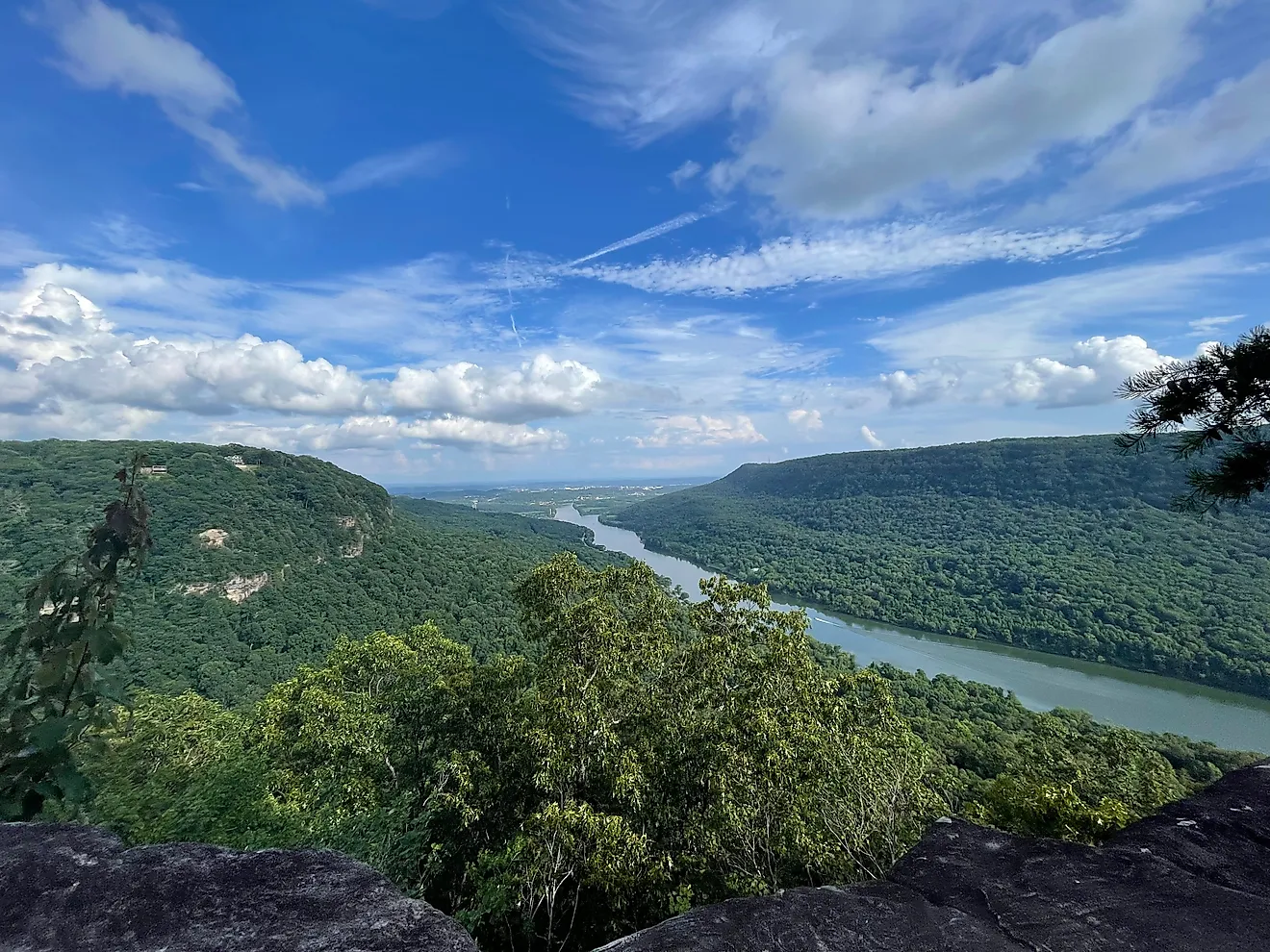
Highland County, Virginia

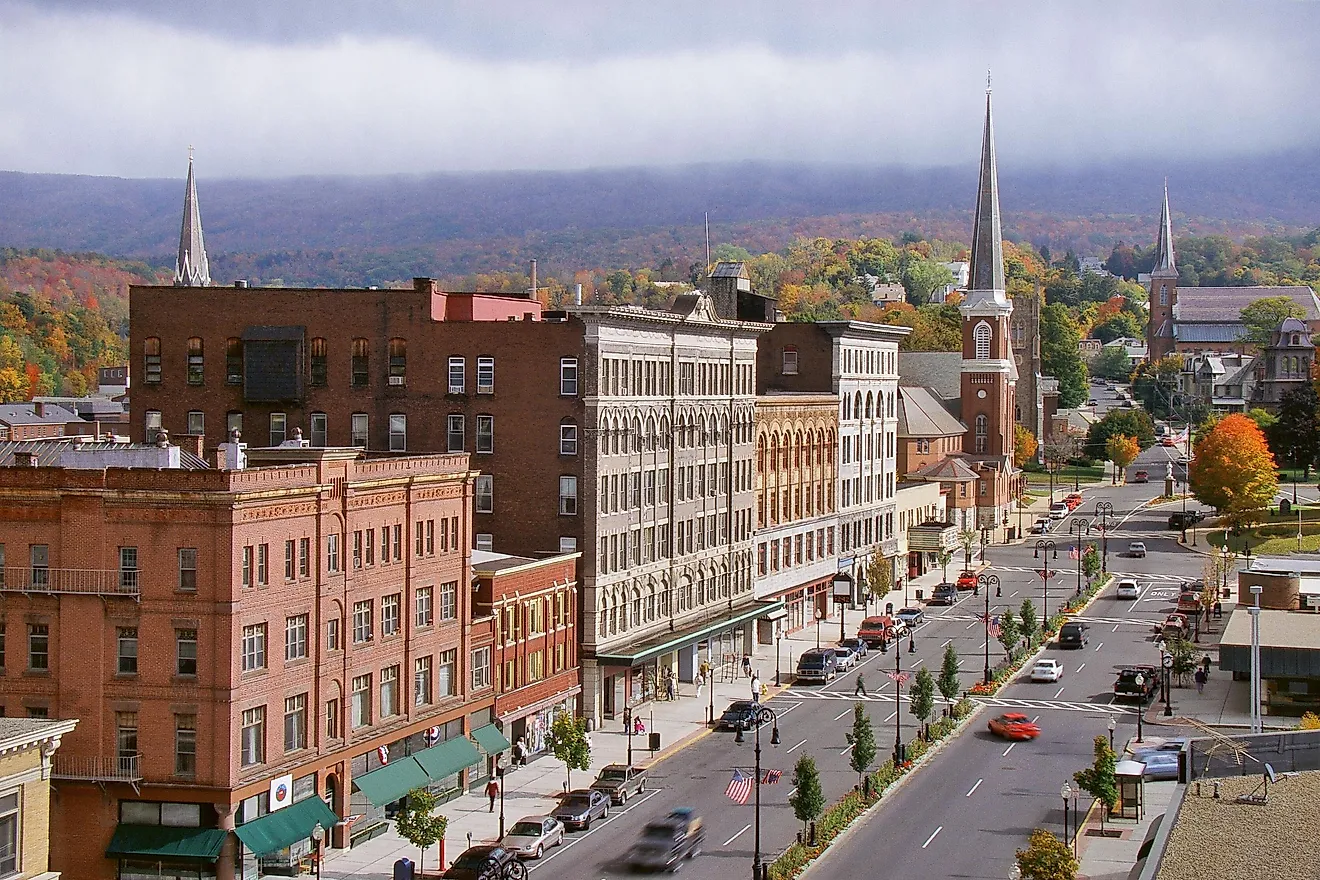
Highland County sits against the West Virginia border in one of the most mountainous corners of Virginia. Its high ridges and broad valleys have earned the area the nickname "Virginia's Little Switzerland." Virginia wildlife officials identify Highland as having the highest mean elevation of any county in the Commonwealth. Its estimated population was only 2,318 in 2025, helping preserve large stretches of farmland and forest between its small communities.
U.S. 250 and U.S. 220 provide the main routes through the county, winding through mountain passes rather than following interstate corridors. The headwaters of both the Jackson River and the South Branch Potomac River are found in this high country. Maple syrup is one of Highland County's unusual local traditions. The Highland County Maple Festival draws visitors each March, while sugar camps around the county continue producing syrup from local maple trees. Hiking, fishing, and birdwatching provide quieter reasons to explore the mountains during the rest of the year.
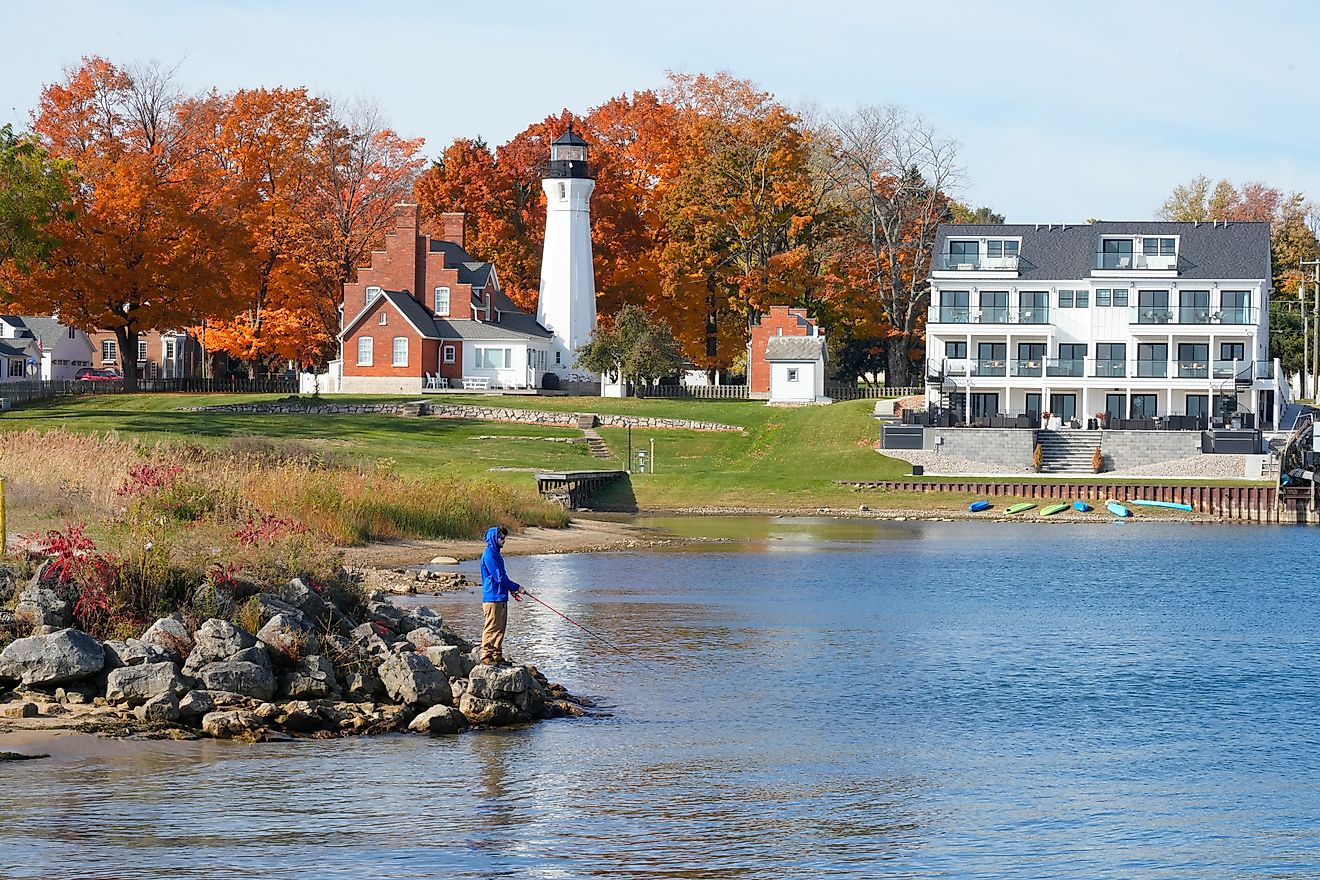
Keweenaw County, Michigan

Few county maps are as deceptive as Keweenaw County's. Its most obvious land lies at the tip of Michigan's Upper Peninsula, yet the county also contains Isle Royale, more than 50 miles out in Lake Superior. Much of the territory between them is water. Isle Royale was once organized separately before becoming part of Keweenaw County in 1897. Today the island forms the core of Isle Royale National Park and sits much closer to the Canadian border than most of Michigan's mainland.
Keweenaw County had an estimated 2,186 residents in 2025. Its mainland communities preserve reminders of the copper industry that expanded rapidly across the Keweenaw Peninsula beginning in the mid-19th century. Abandoned mine sites and former company settlements remain scattered through the forest. Travelers can explore the former mining landscape, visit the Quincy Mine, or follow roads toward Copper Harbor at the peninsula's northern end. Isle Royale is even more isolated. The national park has no roads and can only be reached by ferry, seaplane, or private boat.
San Juan County, Utah

San Juan County occupies Utah's southeastern corner, where the state meets Colorado, Arizona, and New Mexico. Four Corners is the only place in the United States where four state boundaries intersect. The county itself is enormous. It stretches across roughly 7,900 square miles of mesas, canyons, desert, and mountain terrain, making it Utah's largest county by area. Despite that size, the Census Bureau estimated only 14,542 residents in 2025.
Large portions of San Juan County lie within the Navajo Nation, while other areas include lands associated with the Ute Mountain Ute Tribe. Settlements can be separated by long distances, and much of the landscape remains sparsely developed. The geography creates plenty of visible reminders of how remote this corner of Utah remains. Travelers can visit the Four Corners Monument, explore the canyon country around the San Juan River, or travel through the rugged landscapes of southeastern Utah. Long stretches of highway cross open country with few towns in between.
Forgotten America
These counties are separated by thousands of miles, but their unusual geography creates similar results. Lake of the Woods County contains American territory accessible by road only through Canada. Fulton County has a piece of Kentucky nearly enclosed by Tennessee. Whatcom County contains another international exclave, while Keweenaw County stretches across Lake Superior to include roadless Isle Royale.
Elsewhere, mountains and sheer distance create a different kind of isolation. Highland County remains tucked into Virginia's highest country, while San Juan County occupies a vast corner of Utah where four states meet. Their borders may have been drawn generations ago, but the consequences are still visible on today's maps and roads.