Towns In The US That Sit Below Sea Level
The lowest-lying towns in America sit in just two states. Six of the eight here are in the desert valleys of Southern California. The other two are in the swampy delta country around New Orleans. That split is the surprise worth chasing, because the two kinds of low ground could hardly be more different. One is bone-dry and kept alive by irrigation water piped in from a river. The other is soggy and kept dry by pumps working around the clock. Both prove the same point about living below the waterline. The elevation is the trivia. The water management is the whole job.
El Centro, California

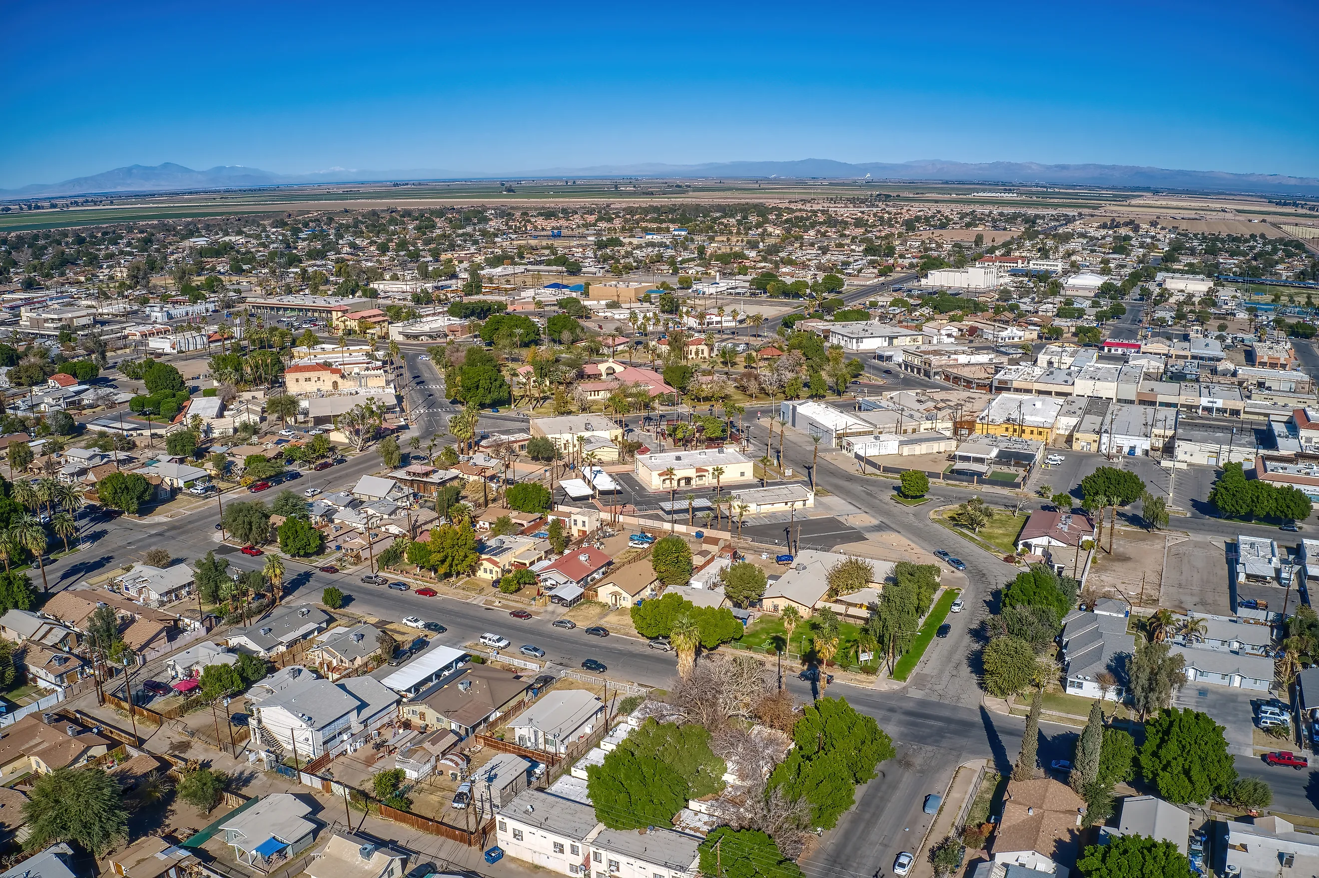
El Centro is the largest city in the United States that sits below sea level, and it runs the whole Imperial Valley from about 50 feet under. Around 44,000 people live here, roughly ten miles north of the Mexican border. W.F. Holt laid the place out in 1905 as the commercial hub for the newly irrigated valley, and agriculture still drives it. Every acre of that farmland depends on Colorado River water carried in through canals, because rain barely registers in this desert. The same geology that dropped the valley below sea level also cooked up a geothermal resource, and power wells now tap the heat under the ground east of town. Summers are brutal here, regularly past 110 degrees, so the working day starts early and the fields get irrigated on a tight schedule. El Centro also serves as the winter home of the Navy's Blue Angels, who train in the clear desert air just north of the city.
Calipatria, California

Calipatria is the lowest incorporated city in the Western Hemisphere, with its downtown about 180 feet below sea level. Only Argentina's Laguna del Carbón goes lower on this side of the planet, and nobody lives there. Residents planted a 184-foot flagpole downtown so the flag flies at exactly sea level, a fair measure of how much the town leans into its own elevation. The city incorporated in 1919 and now counts around 6,500 people, many working the surrounding fields. Calipatria sits in the Salton Trough, where two tectonic plates pull apart and the valley floor drops a little more each year. With no drain to the ocean, growers run a web of buried perforated pipe under their fields to flush salty runoff before it ruins the soil. That drainage water ends up in the Salton Sea a few miles west.
Brawley, California

Brawley runs its cattle and farm economy 112 feet below sea level, a bit deeper than most of its neighbors. Around 26,000 people live here, and the town incorporated in 1908 after starting life as a railroad tent camp of about a hundred. Cattle set Brawley apart from the produce towns around it. The feedlots and the meatpacking trade are what grew the town, and the annual Cattle Call Rodeo every November still draws crowds for the parade and the arena events. Both the Alamo River and the New River pass through the area, carrying irrigation runoff north toward the Salton Sea. The town center is built around a distinctive diamond-shaped plaza. Like the rest of the valley, Brawley is chasing geothermal energy now, sitting so close to the hot ground near the Salton Sea, and it runs hot itself, with about 177 days a year topping 90 degrees.
Imperial, California

Imperial was the first town in the whole valley to incorporate, back in 1904, and it sits about 59 feet below sea level. The name is no accident, because the Imperial Land Company built the town as the showpiece for its plan to farm the desert. It lost the county-seat contest to El Centro in 1907, but it kept growing, and today around 20,000 people live here. This is one of the faster-growing spots in California, with new housing pushing out into the fields. The town took some hard hits from earthquakes over the years, including a 1979 quake that wrecked much of the old downtown, since the whole valley rides an active fault system. The Colorado River water that made farming possible still arrives through the All-American Canal, the same lifeline the rest of the valley shares.
Westmorland, California

Westmorland is the small one, around 2,200 people living at roughly 167 feet below sea level. The town incorporated in 1934 and has stayed a tight farming community ever since. Beekeeping is the local signature, and the annual Honey Festival every November is the event that puts Westmorland on the map, complete with a parade and a honey queen. The land here sits on fine, water-soaked sediment kept damp by the irrigation drainage running under the whole valley. That saturated ground is a real hazard in an earthquake, because the shaking can turn wet soil to liquid. A pair of strong quakes in 1987, centered nearby, did exactly that and damaged local infrastructure. The town relies on the same canal water and the same drainage tiles as its bigger neighbors, just on a smaller scale.
Coachella, California

Coachella sits about 69 feet below sea level at the eastern end of its own valley, north of the Salton Sea and separate from the Imperial Valley cluster. The city incorporated in 1946 and now holds around 42,000 people, most of them Spanish-speaking, in a town built on agriculture and shipping. Date palms are the local specialty here, and the surrounding groves supply a big share of the country's dates. The famous music festival carries the Coachella name but actually runs in neighboring Indio, a common mix-up. Like the Imperial Valley to the south, this end of the Coachella Valley draws irrigation water from the Colorado River through the Coachella Canal. The whole basin is part of the same rift that keeps dropping the desert floor below the level of the sea.
Kenner, Louisiana

Kenner moves the story out of the desert and into the swamp, a Louisiana city of about 66,000 people sitting roughly seven feet below sea level. It is the largest city in Jefferson Parish and the biggest suburb of New Orleans, wedged between Lake Pontchartrain to the north and the Mississippi River to the south. The land here started as backswamp that stayed wet until engineers drained it in the early 20th century. Once the water came out, the soft peat and clay compacted and the ground settled below the level of the surrounding water, the same slow sinking that shaped the whole metro area. Louis Armstrong International Airport sits inside the city limits, itself built on drained marsh. Kenner stays dry only because levees hold back the lake and the river while pumps lift the rainwater up and out. The historic Rivertown district by the river levee is the old heart of town.
New Orleans, Louisiana

New Orleans is the famous one, a major city where roughly half the metro area sits below sea level. The lowest neighborhoods drop to around eight feet under, and the shape of the place is a bowl. The French Quarter and the blocks along the Mississippi sit on the highest ground, a natural levee of silt deposited by the river over centuries. Everything sloping away from that ridge is the sunk part. The city got there by draining its own backswamps, and once the pumps pulled the water out of the old marsh, the peat soil compacted and the ground kept settling lower decade after decade. Staying dry now takes hundreds of miles of levees and floodwalls plus a couple dozen major pumping stations working around the clock. Katrina in 2005 showed the whole country what happens when that system fails. For a look you will not forget, ride a bike along the Mississippi levee top and watch ships pass at eye level above the rooftops behind you.
Living Below The Waterline
These eight towns split into two families that solve opposite problems. The six California towns sit in desert valleys near the Salton Sea, dropped below sea level by slow tectonic pull. Their fight is thirst and salt, so they pipe in Colorado River water and drain the excess back out before it poisons the fields. The two Louisiana cities sit in the sinking delta bowl around New Orleans, below the waterline because people drained the swamp and the soft ground settled. Their fight is the opposite, holding back a lake and a river with levees while pumps lift the rainwater out. The desert towns would blow away without imported water, and the delta towns would flood without the pumps. Below sea level, the elevation is never really the story. The water is.