How Much of Louisiana Is Below Sea Level?
Louisiana is a southeastern constituent state of United States. It is located to the south of Mexico's Bay while Mississippi is situated to its east. On the other hand, Arkansas and Texas are positioned to Louisiana's north and west respectively. Louisiana's overall range is approximately 12,000 square kilometers. Baton Rouge is Louisiana’s capital and the most prominent city is New Orleans. The city is well recognized for the Mardi Gras festival and a rich heritage of jazz music.
How Much Of Louisiana Is Below Sea Level?
The highest point in Louisiana is Driskill Mountain which is at an altitude of 535 feet above sea level. It can be considered a hill because Driskill got its shape through attrition of Paleogene residues. Louisiana's lowest point is its largest city, New Orleans which is at 8 feet beneath sea level. Louisiana has an average rise of 100 feet above sea level while its elevation below sea level is about 1 foot to 2 feet with some parts of the city Uptown being approximately 6 meters above the base of the river bank. Statistics on elevation confirm that about 51% of the earth's surface connecting developed parts of Orleans, St Bernard Parish, and Jefferson lies above sea level while 49% percent is beneath sea level in areas with similar depths.
Why Louisiana Will End Up Underwater?
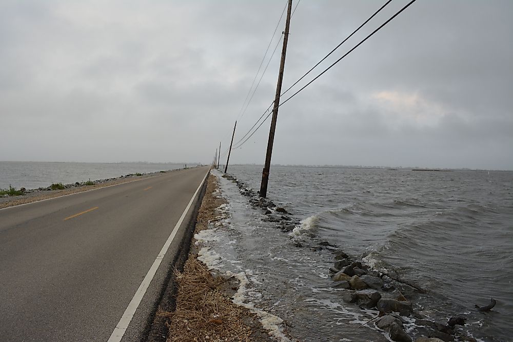
Louisiana has a portion of a wetlands environment covering a large area, one third is in jeopardy. A report analysis discloses how an amalgamation of gas drilling and oil excavation, climate change, and the state's renowned embankments are leading to a disaster where washing away of a significant portion of land occurs annually. The speed at which area is descending and sea level escalating will encourage a rise in sea level of the Gulf of Mexico which will put a huge portion of Louisiana at the bottom of the sea.
Louisiana is bound to sink due to a number of factors. For instance, the embankment scheme in Mississippi River that was established as a result of the great flood in 1927. Although the project had a purpose of making the river harmless for the societies living along the river, it would exterminate the channel and without it, sinking of land would occur regularly. Oil and gas excavation has also led to saltwater finding its way to freshwater bogs and marshes which in turn bring about collapsing shores and banks that suppressed wetlands.
When all this is put together with climatic changes, Louisiana is considered to be at significant risk. Not only does this disturb occupants but also a substantial portion of refineries as they are situated in the region. As government administrators continue to debate over re-establishment missions to protect Louisiana from sinking, crumbling coast, experts from the National Oceanic and Atmospheric Administration have come to an assumption that the state is about to experience the highest degree of sea-level increase on the earth. It is because water is ascending so fast that some coastal refurbishment plans could be superseded before they are accomplished.


