11 Most Welcoming Towns In Rhode Island's Countryside
Rhode Island's countryside towns feature village centers, farmland, forests, and coastal systems. In Little Compton on the Sakonnet River, alongside Tiverton’s inland crossroads, and in Charlestown’s salt ponds and barrier beaches, roads, harbors, and trail systems transition into fields, shorelines, and conservation lands. Across the state, forest trails, wetlands, and rivers remain accessible through public land networks that welcome visitors and encourage them to explore.
Little Compton

Little Compton’s rural landscape is where farmland extends toward the Sakonnet River shoreline. At Sakonnet Point, visitors will see a lively harbor with fishing boats and recreational vessels. Sakonnet Lighthouse rises above the shoreline near the mouth of the river. Roads between fields and the coast follow older property lines. Stone boundaries and wooded edges still mark historic land divisions.
South Shore Beach stretches across a dune-backed shoreline. Here, one can watch sea grass waving in the water and shifting sands blowing in the breeze. Inland, the Wilbor House Museum preserves historic structures and artifacts tied to the town’s early settlement patterns. Nearby, Sakonnet Vineyard occupies open farmland; its vineyard rows planted across rolling fields.
Tiverton

Tiverton sits along the Sakonnet River. The Four Corners district sits at the intersection of Main Road (Route 77) and East Road (Route 179). Historic buildings include the Tiverton Four Corners Schoolhouse, now a rentable vacation home. Gray’s Ice Cream and the Four Corners Arts Center occupy restored buildings arranged around the village center. At Fogland Beach, the waters of Sakonnet River are popular for kayakers, paddleboarders, and windsurfers. Farther inland, Weetamoo Woods has miles of trails that wind through forests and past old walls. At Fort Barton, a short hike through the woods leads to an observation tower with views of the Sakonnet River and the surrounding landscape.
Exeter

Exeter is known by continuous forest, wetland systems, and low-density settlement. Roads run long distances between forest corridors, ponds, and river crossings, passing through the Arcadia landscape where the Wood River watershed influences much of the region’s drainage and terrain. The Arcadia Management Area spans much of this interior, with hardwood forest, wetlands, and stream networks that support hiking, hunting, and wildlife movement. Nearby, the Tomaquag Museum preserves and interprets Narragansett and Indigenous cultural heritage through exhibits and educational programming. Yawgoo Valley Ski Area is a popular spot for winter skiing and snowboarding.
Hopkinton

Hopkinton’s villages developed on the Wood River. Mill-era industry shaped settlement patterns that remain visible in its village centers. Hope Valley serves as the primary hub. Historic mill buildings, small storefronts, and civic structures line Main Street near the First Baptist Church of Hope Valley and the Wood River corridor. The forest rises immediately behind residential blocks.
Rockville Management Area contains forested trails that pass kettle depressions, marshy lowlands, and small ponds formed in glacial terrain. Old logging roads cut through second-growth forest used for hiking and fishing. To the north, Black Farm Management Area alternates between forest patches, open meadows, and wetlands that shift with seasonal water levels. The Wood River continues through this corridor. It features slow bends and wide pools that support paddling and fishing.
Richmond

In Richmond settlement is in clusters surrounded by woodland and wetland systems tied to the Wood River watershed. The Carolina Management Area spans one of the largest recreation zones in the region. Visitors can explore forest, wetlands, and low-lying terrain, each supporting extensive trail networks. Meadowbrook Pond is a scenic water access point used for paddling and shoreline fishing. Forests enclose much of the shoreline. Bradner Preserve combines nature trails with canopies of oak and white pine.
Charlestown

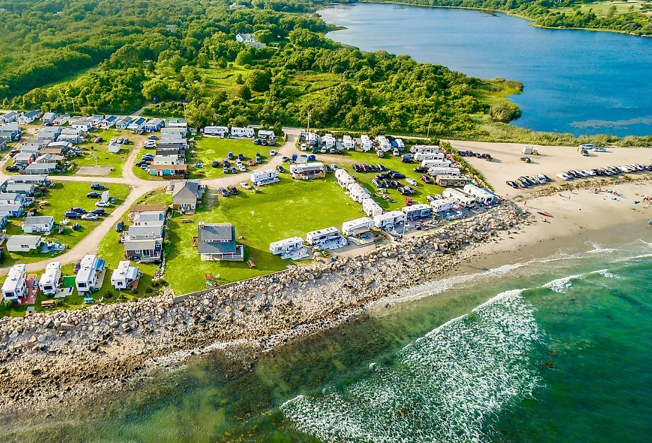
Charlestown’s coastline follows a continuous system of salt ponds, barrier beaches, and tidal channels where ocean and inland waters meet through narrow inlets. Marshes, dunes, and pond edges form overlapping habitats. At Ninigret National Wildlife Refuge, trails cross marshes where cordgrass, shallow pools, and exposed mudflats attract extraordinary birds, such as great egrets and great blue herons.
East Beach runs between the Atlantic Ocean and Ninigret Pond. Wind-blown dunes and surf conditions constantly reshape the shoreline. Nearby, the Frosty Drew Observatory opens for public viewing nights under some of southern Rhode Island’s clearest night skies. The Charlestown Breachway channels tidal flow between the ocean and Ninigret Pond.
West Greenwich

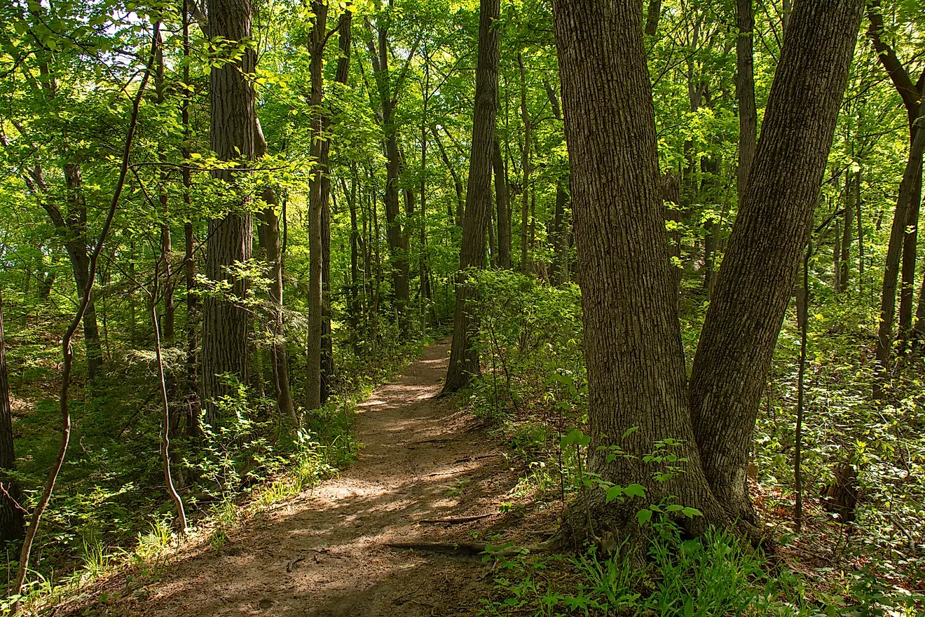
West Greenwich contains one of Rhode Island’s most continuous forests, where the Big River watershed shapes a landscape of hills, wetlands, and streams. Much of the town remains undeveloped. The Big River Management Area anchors this system with thousands of acres of forest and wetlands. Nearby, Wickaboxet Management Area preserves second-growth forests; here, stone walls and cellar holes mark former farm boundaries. To the northwest, Nicholas Farm Management Area in nearby Coventry combines fields, shrubland, and forest edges where seasonal wetlands expand and contract with the rainfall.
Foster

Foster has a long agricultural history visible in its roads and stone-lined field boundaries. Routes such as Howard Hill Road and Plainfield Pike pass through wooded stretches where former farmland remains visible in clearings and boundary lines. The Swamp Meadow Covered Bridge crosses Hemlock Brook; it's a traditional timber construction within a dynamic forested setting. The Foster Town House, built in 1796, remains in civic use near Howard Hill Road and stands among the oldest continuously operating town halls in the United States. At Jerimoth Hill, a forested rise along Route 101 reaches 812 feet above sea level, where a roadside clearing marks Rhode Island’s highest natural point.
Glocester

Glocester is mostly made up of lakes, forests, and protected land. Most of the population lives in small, compact villages, while the surrounding areas are heavily wooded or used for outdoor recreation in the Northwest Rhode Island uplands. Chepachet Village is the main center of town, located along Main Street and Putnam Pike. There are historic buildings on the Chepachet River.
Pulaski State Park and Recreation Area surrounds Peck Pond and offers wooded trails, shoreline access, and picnic spots. The George Washington Management Area spans a large, forested tract across multiple watersheds; this includes Bowdish Reservoir and surrounding wetlands. Plus, there are extensive trail systems and campgrounds.
Burrillville

Burrillville grew up around small mill villages built along rivers, where textile mills shaped how the towns were laid out. You can still see that history today along the Clear River and Branch River. Old mill buildings are still a big part of the village centers, and many have been reused as homes, shops, or other businesses. In Harrisville, one of Burrillville's villages, mill buildings surround Pascoag Reservoir No. 2. The Blackstone River Valley National Heritage Corridor is a system of preserved mill sites. Round Top Fishing Area features access to a pond surrounded by forest. Spring Lake Beach offers seasonal shoreline recreation along Spring Lake.
New Shoreham

New Shoreham encompasses all of Block Island. Atlantic winds, salt air, and coastal erosion carve out a landscape of cliffs, fields, ponds, and protected coastal habitat. Much of the island remains conserved through protected lands that limit development across its interior.
At Mohegan Bluffs, clay cliffs rise about 150 feet above the Atlantic shoreline. The Southeast Lighthouse, first lit in 1875, sits near the southern bluff. Great Salt Pond, also known as New Harbor, provides a sheltered harbor for boats and kayaks; it connects to Block Island Sound through a narrow inlet. On the northern side of the island, Clay Head Preserve protects coastal grassland and brushland; here, “The Maze” trail network winds through upland terrain with intermittent ocean views.
Across these 11 towns, access to land and water shapes how each place functions and how it is experienced. Village centers in Hopkinton, Burrillville, and Glocester sit beside rivers, reservoirs, and forests. Coastal communities such as Little Compton, Tiverton, and Charlestown maintain direct connections between residential areas and shoreline landscapes. Even inland towns like Foster and West Greenwich remain closely linked to trails, management areas, and conservation land that are integrated into surrounding settlement patterns. In practice, that connection defines what “welcoming” means across Rhode Island’s countryside.