Which Country Was Known as "Nyasaland"?
When Britain colonized various parts of the world, it sometimes established protectorates, in which they exercised partial jurisdiction, sometimes in consultation with local rulers. For example, Nyasaland was a British Protectorate established in southeast Africa in 1907, and formerly named the British Central Africa Protectorate (BCA). The protectorate was part of the Federation of Rhodesia and Nyasaland, which existed from 1953 until 1963. In response to growing protests against colonialism and calls for independence, the federation was eventually dissolved in 1963. Nyasaland gained independence from Britain on July 6, 1964, and was later renamed Malawi.
Brief History of Nyasaland (Malawi)
The region of Africa that is now called Malawi was inhabited by small groups of hunters and gatherers before the Bantu people settled the area in the 10th century. Bantu tribes formed the Kingdom of Maravi, which extended as far as present-day Nkhotakota and Zambia. However, by 1700, the kingdom had broken down into several areas mainly controlled by different ethnic groups. By the mid-1800s, the Arab slave trade had reached its peak, and slaves were transported to Kilwa and then shipped to other regions. In 1859, Scottish explorer and missionary David Livingston reached Lake Nyasa (now Lake Malawi) and identified the Shire Highlands as a suitable place for European settlement. By 1883, a British consul had taken residence in the area and established treaties with local leaders. A British protectorate was established in the highlands in 1889 and expanded in 1891 to create the British Central Africa Protectorate. The protectorate’s name was changed to Nyasaland in 1907, and then changed again to Malawi after independence in 1964.
Location and Geography
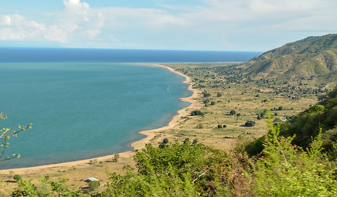
Malawi, formerly Nyasaland, is a landlocked country situated in the southeastern part of Africa. The country has a total area of 45,747 square miles, making it the 98th most extensive country in the world. It is located completely within the tropics and occupies a thin strip of land between Mozambique and Zambia. Malawi borders Zambia to the southeast, Tanzania to the southwest, and Mozambique to the north. The country is divided by the Great Rift Valley, which runs from north to south. Situated east of the valley, Lake Malawi, also known as Lake Nyasa, is Africa’s third largest lake and covers about 25% of Malawi’s total area. The lake drains into the Zambezi River via the Shire River. Malawi experiences a tropical climate, with a rainy season that runs from November until April.
Demography
Malawi has a population of approximately 18 million and is estimated to grow to 45 million by 2050 if its current growth rate of 3.32% remains constant. The population of Malawi is composed of several ethnic groups, including the Nyanja, Chewa, Lomwe, Yao, Tumbuka, Tonga, Sena, Ngoni, and Ngonde. The country also contains large populations from Europe and Asia. Malawi's official language is English, although the most commonly spoken language is Chichewa, which is spoken by about 57% of the population.


