Which Countries Border Senegal?
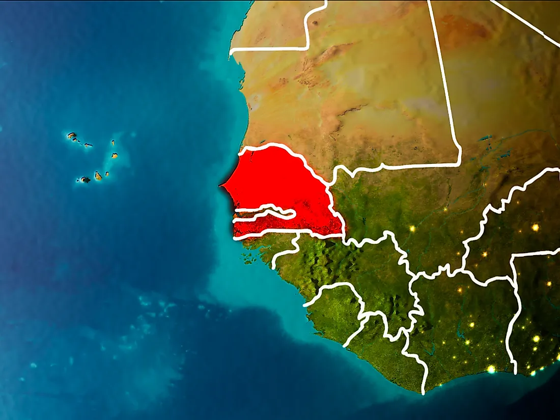
Senegal, officially the Republic of Senegal, is a country in West Africa. The country is the westernmost of the African mainland and the Old World. Senegal is a unitary, semi-presidential republic. The capital of Senegal is Dakar. The country owes its name to Senegal River. Senegal has a land area 75,749 square miles and has an estimated population of 15 million people. Senegal has a total of 1,970 miles of boundary length, of which 330 miles is shoreline and coastline. The country is bordered to the west by the North Atlantic Ocean, Mauritania to the north, Mali to the east, Guinea to the southeast, Guinea-Bissau to the southwest, and The Gambia which Senegal surrounds to the north, east, and south. Senegal also shares a maritime borders with the island nation of Cape Verde. Senegal makes maritime claims of a 230.2 miles continental shelf, 230 miles exclusive economic zone, 13.8 miles territorial sea, and 27.6 miles contiguous zone.
Senegal—Mauritania Border
Senegal’s longest land border, at 505 miles, is with Mauritania. Mauritania is located in the north of Senegal. The Senegal River forms the border between Senegal and Mauritania. The border starts in the northeast at the tri-point of Mali—Mauritania—Senegal and ends in the northwest at the coast of the Atlantic.
The Senegal River basin was for centuries inhabited by people from both Mauritania and Senegal. However, the periods of drought through the 1980s resulted in tension over available arable land. Conflicts began over the Senegal River border of the two countries leading to border violence, ethnic clashes, and expulsions from 1989 to 1991. The conflicts severed diplomatic relationships between the two countries for several years. The divergent foreign policies of the two countries are thought to have contributed to the deterioration of the relationship between the two countries.
Senegal—Mali Border
Mali is a landlocked country in West Africa. It is the 8th largest country in Africa occupying an area of 479,635 square miles. The capital city of Mali is Bamako. The country has about 18 million inhabitants. Most parts of the country lie in the Sahara Desert.
Mali borders Senegal to the east. The Senegal-Mali border is a 260 miles long. The border stretches from the Mali—Mauritania—Senegal tri-point in the north to the Mali—Guinea—Senegal tri-point in the south. The Falémé River, a West African river that starts in northern Guinea, forms part of the border between Senegal and Mali. This is before it flows into the Senegal River, 50 km upstream of Bakel town in Senegal.
Senegal—Guinea Border
The Republic of Guinea is located in the West Coast of Africa. With an estimated population of 12.4 million, the country is dominantly Islamic. Muslims account for about 85% of the of Guinea’s population. The country occupies an area of 94, 927 square miles and has 24 ethnic groups.
Guinea borders Senegal to the southeast. The Senegal—Guinea border is 205 miles long. The border stretches from the Guinea—Guinea-Bissau—Senegal tri-point east to the Guinea—Mali—Senegal tri-point. Arising in Northern Guinea, the Falémé River flows northeast to Mali, forming a short portion of the border. Most of the Senegal-Guinea border is formed by the Casamance River.
In March 2014, Senegal closed its borders with Guinea due to the Ebola outbreak. The country reopened its land border with Guinea after the situation in Guinea stabilized.
Senegal—Guinea Bissau Border
Guinea-Bissau is a country in West Africa. The country covers an area of 13,948 square miles and has an estimated population of 1.8 million people. Guinea-Bissau was initially part of the Kingdom of Gabu and the Mali Empire. The country was colonized by the Portuguese.
Guinea-Bissau borders Senegal to the southwest. The Senegal—Guinea-Bissau border is 210 miles long. This border runs along the Casamance River. The border stretches from the tri-point of Guinea—Guinea-Bissau—Senegal west to the Atlantic Ocean. The Guinea-Bissau—Senegal border crossing is composed of two points, one in Senegal and the other in Guinea Bissau. The crossing point in Senegal is referred to as Mpack. Mpack is located in southern Senegal. The crossing point in Guinea Bissau is San Domingo’s. San Domingo’s is located in the Cacheu Region of Guinea Bissau. These two places form the border checkpoints when crossing between Guinea Bissau and Senegal.
Senegal—Gambia Border
The Gambia is among the few countries that have a near enclave within its borders. The country is almost entirely surrounded by Senegal except for its western Atlantic coasts. The Gambia is the smallest country within Africa’s mainland covering an area of 4,127 square miles. The country has an estimated population of 1.8 million people. Its capital is Banjul. The Gambia is situated on either side of the River Gambia. The country is narrow, with less than 48 km at its greatest width. The Gambia occupies the navigable length of the Gambia River Valley and surrounding hills.
The Gambia shares a 460 miles border with Senegal. From the Atlantic coast, the country penetrates 199 miles into Senegal, along the Gambia River, to the center of Senegal.
Senegal—Cape Verde Border
Senegal shares a maritime border with Cape Verde which is an island country located west of Senegal in the Atlantic Ocean. This maritime boundary was delimited during the Cape Verde—Senegal Maritime Delimitation Treaty. The boundary is a line which runs from the north to the south about 150 nm in seven segments which were determined by eight specific coordinate points. This boundary lies about 9 nm to 20 nm east of an equidistant line between the two territories. The treaty was signed on February 17, 1993.


