Maps of New Mexico

New Mexico, known as the "Land of Enchantment," is a landlocked state located in the southwestern region of the United States. It shares borders with Arizona to the west, Colorado and Utah to the north, Oklahoma and Texas to the east, and the Mexican states of Chihuahua and Sonora to the south. New Mexico operates entirely in the Mountain Time Zone, which includes both Mountain Standard Time (MST) and Mountain Daylight Time (MDT) during Daylight Saving Time.
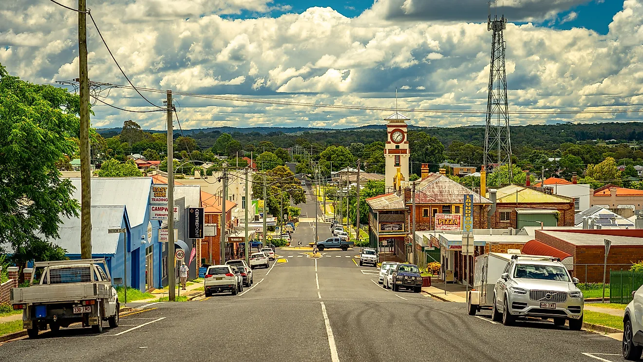
Albuquerque is New Mexico’s most populous city, with 564,559 residents, while Santa Fe, population 89,167, serves as the state capital. New Mexico is also home to several major tourist attractions, including Carlsbad Caverns National Park, White Sands National Park, Taos Pueblo, the Gila Cliff Dwellings National Monument, and Bandelier National Monument.
New Mexico became part of the United States in 1848 following the Treaty of Guadalupe Hidalgo, which concluded the Mexican-American War. It was officially admitted as the 47th state on January 6, 1912.
Size
New Mexico covers a total area of approximately 121,590 square miles (314,917 square km), making it the fifth-largest state in the U.S. The land area accounts for 121,298 square miles (314,161 square km) of this total, while water bodies cover about 292 square miles (757 square km). In comparison, its size is similar to that of Poland and slightly larger than the state of Arizona.
Bodies Of Water
Despite being a landlocked state, New Mexico features over 1,200 lakes and reservoirs of varying sizes and approximately 1,000 rivers and streams, totaling 108,014 miles of waterways.
The longest river, the Rio Grande, stretches 1,896 miles (3,051 km), originating in Colorado and flowing through New Mexico before reaching Texas and Mexico. This river is a crucial water source for agriculture, drinking supply, and recreation across the state. Other significant rivers include the Pecos River, which runs 926 miles and supports farming communities, and the San Juan River, known for its excellent trout fishing and scenic canyons.
Among the state’s lakes, Elephant Butte Reservoir stands as the largest, covering 36,500 acres. It is a popular destination for boating, fishing, and camping. Other important bodies of water include Navajo Lake, a key reservoir for water storage and recreation, and Abiquiu Lake, which offers stunning red-rock scenery and opportunities for kayaking and hiking along its shores. Heron and Conchas Lake are also well-visited for their scenic beauty and excellent fishing.
Climate
New Mexico features diverse climate regions, ranging from arid desert conditions to alpine climates in the mountains. Average temperatures in January range from 20°F (-7°C) in the mountainous regions to 50°F (10°C) in the southern desert areas. July temperatures average between 60°F (16°C) in higher elevations and 95°F (35°C) in the lower desert regions.
Annual rainfall averages around 14 inches (356 mm), with the southwestern region receiving the least precipitation. The state does experience monsoon rains in late summer, occasional severe thunderstorms, and rare tornadoes (hurricanes do not directly impact New Mexico due to its inland location).
Topography
New Mexico’s terrain includes desert basins, high plateaus, and mountain ranges. The state’s highest point is Wheeler Peak at 13,161 feet (4,011 meters), while the lowest point is the Red Bluff Reservoir at 2,845 feet (868 meters).
Notable mountain ranges include the Sangre de Cristo Mountains, the Sacramento Mountains, and the San Andres Mountains. Significant canyons include the Rio Grande Gorge and the Cimarron Canyon.
Geology
New Mexico’s geological diversity features extensive rock formations and exposed bedrock dating back 1.8 billion years. The best-known rock formations include the Bisti/De-Na-Zin Wilderness, known for its unusual hoodoos and eroded rock structures. The region's volcanic history is evident in areas like the Valles Caldera, a nearly 14-mile-wide volcanic depression that is over 1.2 million years old.
The state has abundant mineral resources, including uranium, copper, gold, and potash, all of which have historically driven economic development. In addition, the state has a large reserve of crude oil and natural gas and is one of the top producers in the United States.
While New Mexico does experience occasional minor earthquakes, significant seismic activity is rare. Two of the largest ever recorded occurred near Socorro in 1906, with magnitudes estimated to have been 5.76 and 6.18 on the Richter scale, respectively.
Natural Environment
New Mexico is home to over 4,200 plant species, including 110 endemic species found nowhere else. Common vegetation includes piñon pine and juniper trees, which dominate high desert regions, cottonwood trees along riverbanks, and various cacti and yucca plants, with the yucca serving as the official state flower since 1927.
The state supports over 150 mammal species, including elk, mule deer, pronghorn antelope, and the American black bear, the official state mammal. New Mexico’s diverse habitats also sustain numerous bird species, including the greater roadrunner, the official state bird, and migratory species like sandhill cranes and bald eagles. Reptiles such as rattlesnakes and New Mexico whiptails, a unique all-female lizard species, are common in desert areas.
Natural Attractions
New Mexico features several notable natural landmarks, including Carlsbad Caverns National Park, home to over 119 known caves formed by sulfuric acid dissolution. The park features vast underground chambers and rock formations. White Sands National Park, covering 145,762 acres, is known for its striking gypsum sand dunes, while the Gila Wilderness, the first designated wilderness area in the U.S., features rugged mountains, canyons, and hot springs.
Valles Caldera National Preserve spans 89,000 acres within a massive volcanic crater, offering grasslands, geothermal features, and diverse wildlife. Chaco Culture National Historical Park preserves ancient Puebloan ruins, some of which have significant astronomical alignments.
Tourist Attractions
New Mexico is home to numerous commercial and historical attractions, drawing over 40 million visitors annually. Notable landmarks include Santa Fe Plaza, a cultural hub established in 1821, featuring markets, galleries, and events that highlight the region’s Spanish colonial history. The Georgia O'Keeffe Museum showcases the works of one of New Mexico’s most renowned landscape artists.
Other major tourist destinations include Balloon Fiesta Park, which hosts the annual Albuquerque International Balloon Fiesta, one of the world’s largest hot-air balloon festivals. Taos Pueblo, a UNESCO World Heritage Site, has been continuously inhabited for over 1,000 years and remains a vital part of Native American history and culture.
Regions
New Mexico has four major geographic regions:
Colorado Plateau: Located in northwest New Mexico, the Colorado Plateau is characterized by its arid climate, sedimentary rock formations, and ancient archaeological sites. It features mesas, canyons, and deserts, including parts of the Navajo Nation and Chaco Canyon. The plateau's rugged landscape is a result of millions of years of geological activity, including volcanic eruptions and erosion. It is also rich in fossil deposits and offers significant insights into prehistoric life.
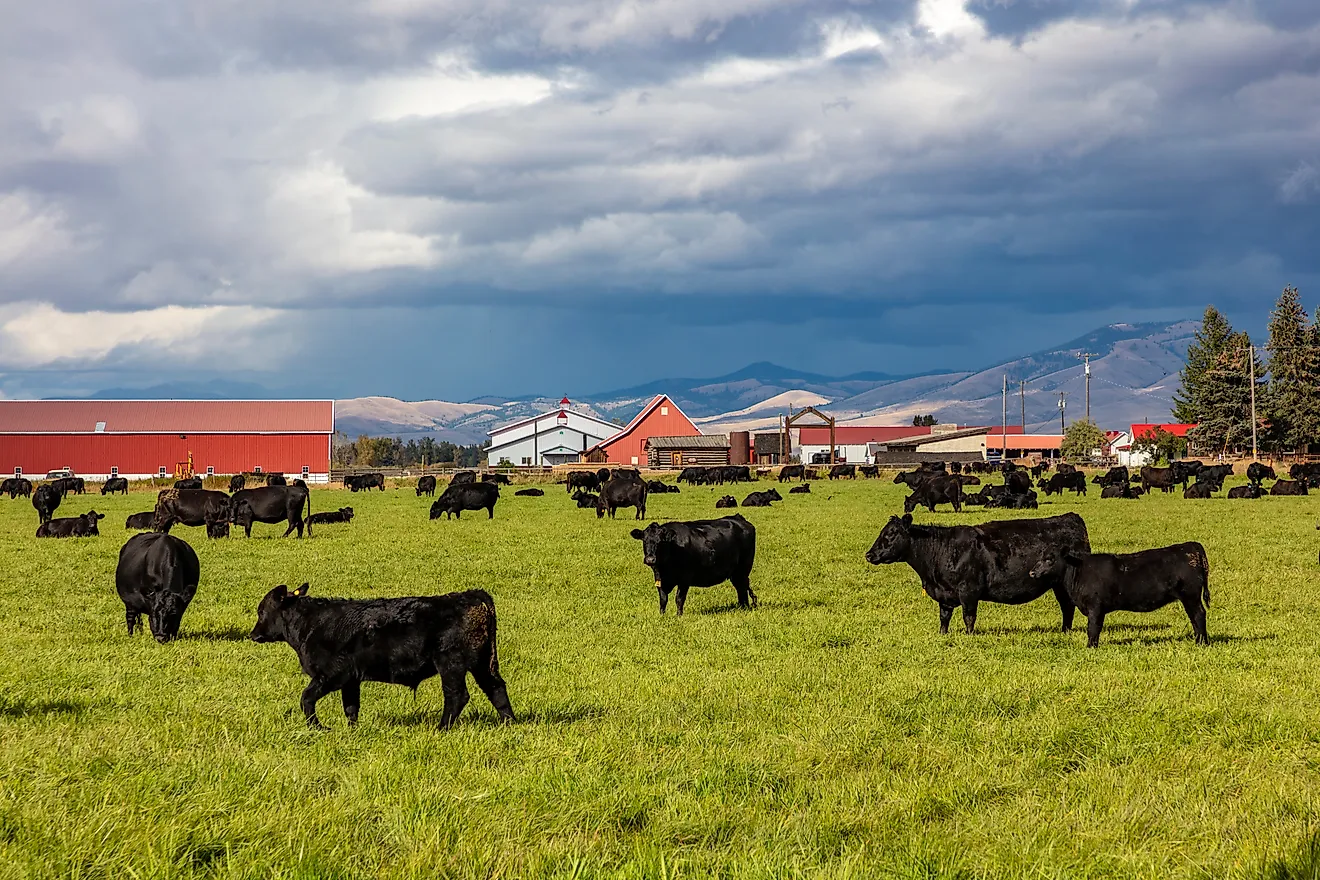
Great Plains: Stretching into eastern New Mexico, the Great Plains are known for their flatlands, grasslands, and agricultural areas. This region experiences a semi-arid climate and supports cattle ranching and farming. The plains consist of vast, open landscapes with gently rolling hills and prairie grasses. The region plays a crucial role in New Mexico's agricultural output, particularly in the production of beef, dairy, and crops.
Rocky Mountains: Covering northern New Mexico, the Rocky Mountains region features high peaks (including Wheeler Peak), alpine forests, and significant snowfall. It also features ski resorts, hiking trails, and rich biodiversity. The area is also popular for mountain climbing and wildlife observation. Its diverse habitats are home to species, including elk, black bears, and bighorn sheep.
Basin and Range Province: Found in the southwest part of New Mexico, this region consists of desert basins, isolated mountain ranges, and arid valleys. It includes areas like the Tularosa Basin and White Sands National Park and is characterized by its stark contrasts, with flat deserts juxtaposed against rugged mountain ranges. The area features many unique geological formations and diverse desert ecosystems, each supporting unique flora and fauna.
Counties Map

The State of New Mexico is divided into 33 counties. In alphabetical order, these counties are: Bernalillo, Catron, Chaves, Cibola, Colfax, Curry, De Baca, Dona Ana, Eddy, Grant, Guadalupe, Harding, Hidalgo, Lea, Lincoln, Los Alamos, Luna, McKinley, Mora, Otero, Quay, Rio Arriba, Roosevelt, San Juan, San Miguel, Sandoval, Santa Fe, Sierra, Socorro, Taos, Torrance, Union, and Valencia.
New Mexico is divided into 33 counties. In alphabetical order, the counties are: Bernalillo, Catron, Chaves, Cibola, Colfax, Curry, De Baca, Dona Ana, Eddy, Grant, Guadalupe, Harding, Hidalgo, Lea, Lincoln, Los Alamos, Luna, McKinley, Mora, Otero, Quay, Rio Arriba, Roosevelt, San Juan, San Miguel, Sandoval, Santa Fe, Sierra, Socorro, Taos, Torrance, Union, Valencia.
With an area of 314,900 sq. km, Mexico is the 5th largest and the 36th most populous state in the USA. Located at the base of the Sangre de Cristo Mountains, in the northern Rio Grande valley is Santa Fe – the capital city of New Mexico. Due to its location at an elevation of 7,199ft above sea level, it has the highest elevation of a state capital in the US. Santa Fe is considered to be one of the greatest art cities in the world and also serves as the cultural capital of the Southwest region of the United States. It is also regarded as the country’s oldest state capital. Situated in the north-central part of the state is Albuquerque – the largest and the most populous city in New Mexico. The city is home to several government institutions, research facilities, and educational institutions. The Albuquerque International Balloon Fiesta, which is held every year in the city is one of the world’s largest gathering of hot-air balloons.
Where is New Mexico?

The State of New Mexico is located in the southwestern region of the United States. The landlocked state is bordered by the states of Arizona in the west; by Colorado in the north; and by Oklahoma and Texas in the east. New Mexico also borders the Mexican states of Chihuahua and Sonora in the south.
Regional Maps: Map of North America
Outline Map of New Mexico

The above blank map represents the State of New Mexico, located in the southwestern region of the United States. The above map can be downloaded, printed and used for geography education purposes like map-pointing and coloring activities.

The above outline map represents the State of New Mexico, located in the southwestern region of the United States.
Key Facts
| Legal Name | State of New Mexico |
|---|---|
| ISO 3166 Code | US-NM |
| Capital City | Santa Fe |
| Largest City |
Albuquerque (955,008) |
This page was last updated on February 20, 2025