Maps of Washington
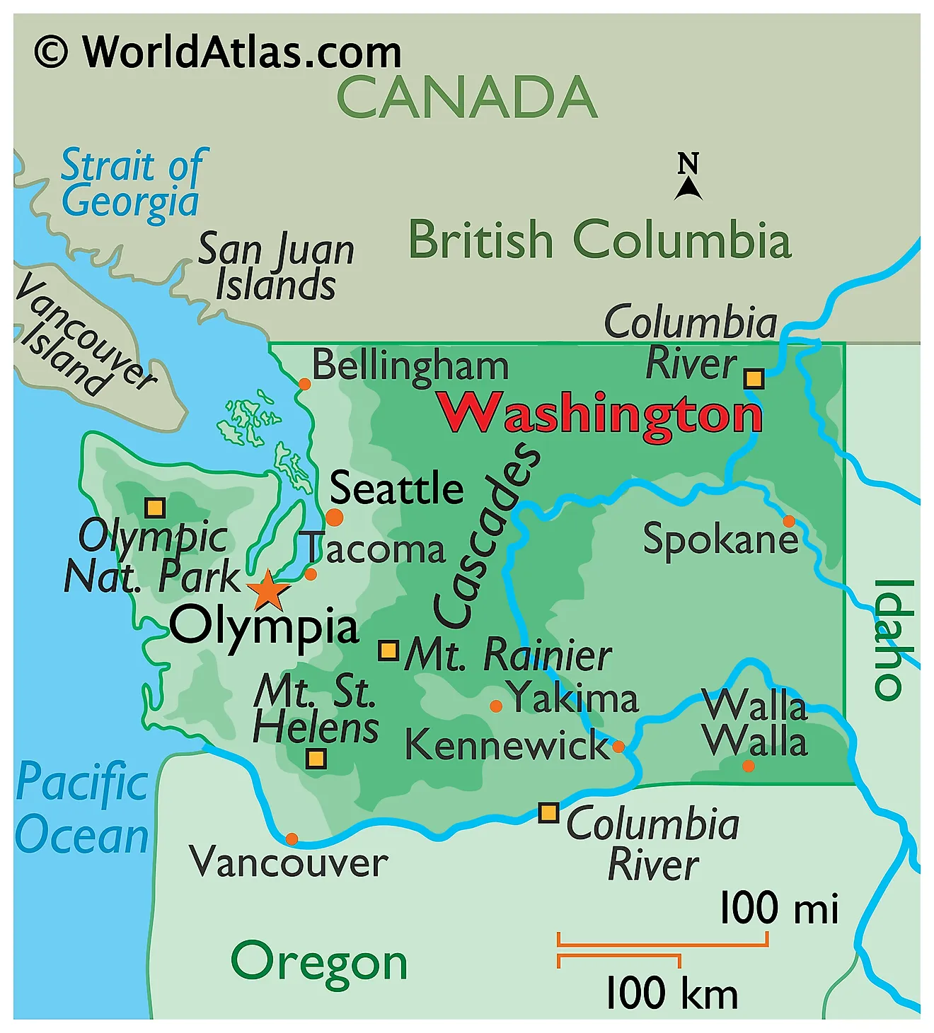
Washington is a state in the Pacific Northwest region of the United States. It is bordered by the Pacific Ocean to the west, Oregon to the south, Idaho to the east, and the Canadian province of British Columbia to the north, where the boundary follows the 49th parallel. With a total area of approximately 71,298 square miles, Washington ranks as the 18th largest state in the country and the smallest of the eleven Western states. It is also the only state named for a United States president.

Few states pack as much variation into so little ground. In a drive of roughly 200 miles, a traveler can cross temperate rainforest that receives more than 12 feet of rain a year, climb a glacier-clad volcano, and drop into shrub-steppe country that sees less than 8 inches of precipitation annually. That contrast is the single most important fact about Washington's geography, and nearly everything else follows from it.
Washington's Physical Regions

Geographers usually divide Washington into five or six physiographic regions, though the state is often summarized more simply as the Pacific Coast, the Olympic Peninsula, the Puget Sound Lowlands, the Cascade Range, and Eastern Washington's Columbia Plateau. The Cascades act as the dividing wall, splitting the state into a wet, forested, densely populated west and a dry, open, sparsely settled east.
The Pacific Coast

Washington's outer coast runs roughly 157 miles along the state's western edge, though its deeply indented tidal shoreline measures more than 3,000 miles when bays, estuaries, and inlets are counted. The coast is far rockier and wilder than the beaches of Oregon or California to the south. Sea stacks, drift logs, and headlands dominate the northern stretch inside Olympic National Park, while long sand beaches, dunes, and shallow estuaries such as Grays Harbor and Willapa Bay define the south.
Cape Alava, on the Olympic Peninsula's western tip, is the westernmost point in the contiguous United States. Because the Pacific moderates temperatures year-round, the coast has cool summers and mild, wet winters, with a smaller annual temperature range than anywhere else in the state.
The Olympic Peninsula
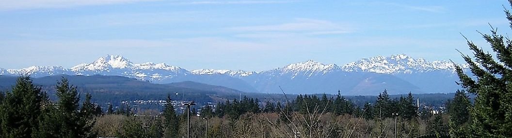
The Olympic Peninsula occupies Washington's northwest corner, hemmed in by the Pacific, the Strait of Juan de Fuca, and Puget Sound. At its heart rise the Olympic Mountains, a compact, steeply eroded range topped by Mount Olympus at 7,980 feet. Unlike the volcanic Cascades, the Olympics were built from marine sedimentary and basaltic rock scraped off the seafloor and thrust upward as the Juan de Fuca Plate subducted beneath the continent.
The peninsula's western valleys hold the Hoh, Queets, Quinault, and Bogachiel rain forests, among the wettest places in the lower 48 states, receiving 140 to 170 inches of rain a year and supporting Sitka spruce and western hemlock draped in moss.

Immediately northeast of those forests lies one of the sharpest rain shadows in North America. The town of Sequim, tucked behind the mountains, averages only about 16 inches of precipitation a year, less than one-tenth of what falls in the Hoh valley barely 40 miles away.
The Puget Sound Lowlands

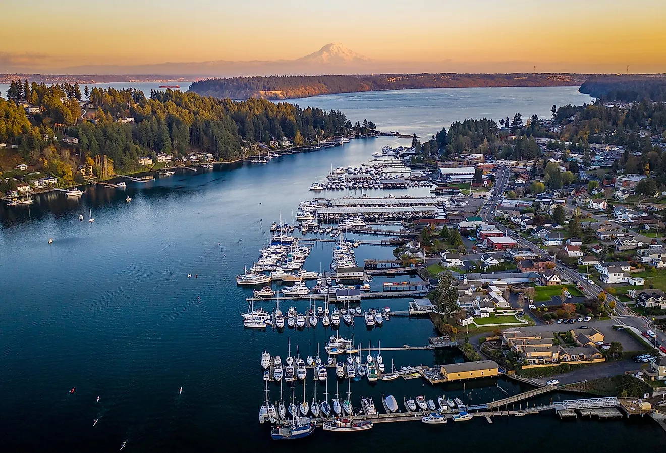
The Puget Sound Lowlands form a broad structural trough running from Olympia north to the Canadian border, wedged between the Olympics and the Cascades. This is Washington's demographic and economic core, containing Seattle, Tacoma, Everett, Bellevue, and Bellingham, and roughly two-thirds of the state's population.
Puget Sound itself is a glacially carved estuary with roughly 1,330 miles of shoreline and depths reaching about 930 feet. Its basins were gouged by the Puget Lobe of the Cordilleran Ice Sheet, which buried the site of Seattle under some 3,000 feet of ice about 16,000 years ago. When the ice withdrew, seawater flooded the troughs it left behind. The rounded hills, or drumlins, on which Seattle is built were shaped by the same event.

Puget Sound is the southern arm of the Salish Sea, an interconnected system that also includes the Strait of Juan de Fuca and the Strait of Georgia, and stretches north into British Columbia toward Vancouver. Scattered across its northern waters are the San Juan Islands, an archipelago of more than 170 named islands. These are bedrock highlands, scoured by the same ice sheet that carved Puget Sound and then partly drowned as sea levels rose.
The Cascade Range

The Cascades run north to south through the middle of Washington as part of a chain that extends from British Columbia to northern California. Within Washington, the range has two distinct halves. The North Cascades are a jagged, non-volcanic complex of metamorphic and granitic peaks holding more than 300 glaciers; North Cascades National Park and its surrounding wilderness contain the greatest concentration of glaciers in the United States outside Alaska. The southern Cascades are lower and gentler, punctuated by large volcanic cones.
Four Washington summits exceed 10,000 feet, and all four are volcanoes: Mount Rainier at 14,411 feet, Mount Adams at 12,281 feet, Mount Baker at 10,781 feet, and Glacier Peak at 10,541 feet. Rainier is the state's high point and the most heavily glaciated peak in the contiguous United States, carrying roughly 26 named glaciers, including the Emmons Glacier, the largest by area in the lower 48. Only a handful of passes cross the range, among them Snoqualmie, Stevens, and White Pass, and several close or become hazardous in winter.
Volcanoes and the Ring of Fire
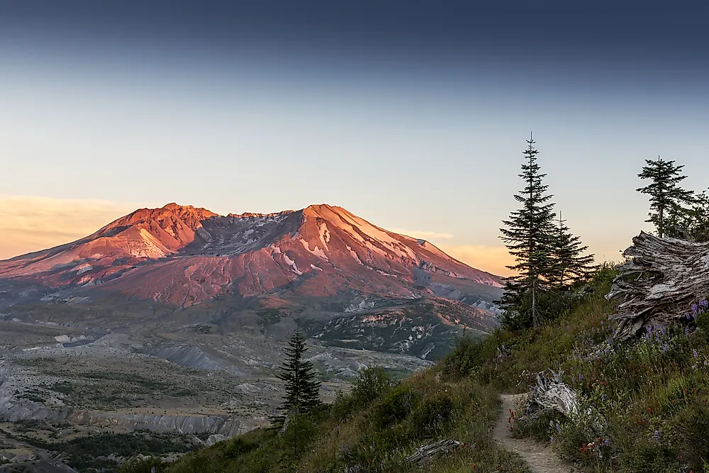
Washington sits on the Pacific Ring of Fire, where the Juan de Fuca Plate slides beneath the North American Plate along the Cascadia Subduction Zone. That process both builds the volcanoes and generates the state's earthquake risk. Five Cascade volcanoes in Washington are considered active: Rainier, Baker, Adams, Glacier Peak, and Mount St. Helens.
Mount St. Helens produced the deadliest and most economically destructive volcanic eruption in United States history on May 18, 1980. The blast removed the upper 1,300 feet of the mountain, dropping its elevation from 9,677 feet to 8,363 feet and leaving a mile-wide horseshoe crater. Geologists regard Mount Rainier as the more dangerous volcano over the long term, not because of explosive potential but because its ice cap could generate lahars, or volcanic mudflows, capable of reaching populated valleys near Tacoma.
Eastern Washington and the Columbia Plateau

East of the Cascade crest, the landscape changes abruptly. Eastern Washington covers close to two-thirds of the state's land area but holds only about one-fifth of its people. The bedrock here is the Columbia River Basalt Group, a vast sequence of flood basalts erupted between roughly 17 and 6 million years ago that buried the region under lava more than a mile thick in places.
Two later events shaped the surface. Windblown glacial silt, known as loess, piled into the rolling hills of the Palouse in the southeast, creating some of the most productive dryland wheat soil in the world. Then, near the end of the last ice age, repeated outburst floods from Glacial Lake Missoula tore across the plateau, stripping soil down to bare rock and carving the Channeled Scablands, a maze of dry canyons, or coulees, and abandoned cataracts. Dry Falls, one of the largest known waterfall scars on Earth, is more than 3 miles wide and 400 feet high, yet no water flows over it today.
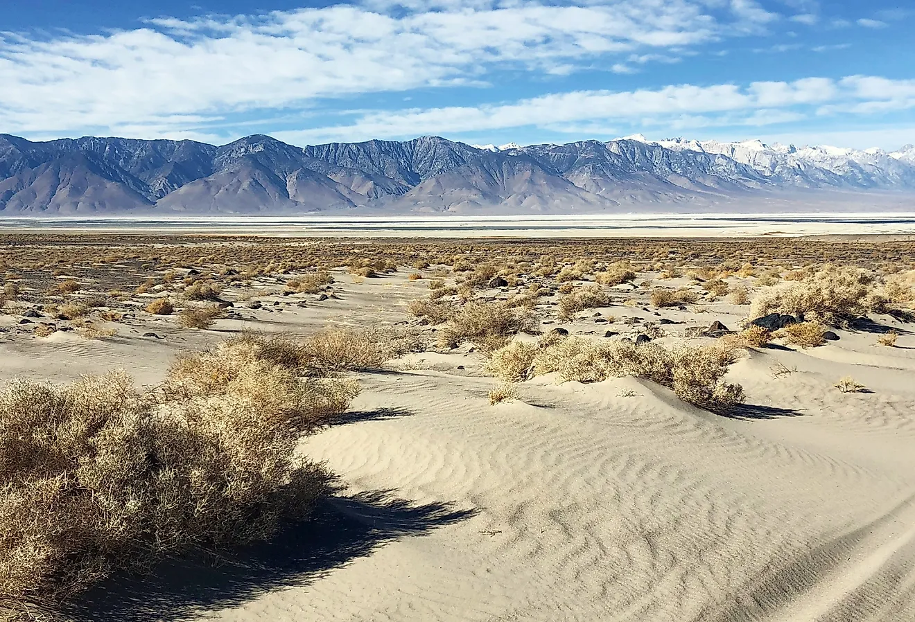
Eastern Washington's climate is semi-arid, with hot summers, cold winters, and annual precipitation that falls below 8 inches in parts of the Columbia Basin. Irrigation drawn from the Columbia has nonetheless made the region an agricultural powerhouse. Washington grows the majority of the nation's apples and hops and ranks second among US states in wine production, with wheat, cherries, potatoes, and pears also central to the economy. Spokane is the largest city east of the Cascades.

Palouse Falls, designated the official state waterfall in 2014, drops 198 feet into one of these flood-cut canyons and is among the few Ice Age cataracts in the region still carrying a river.
Rivers
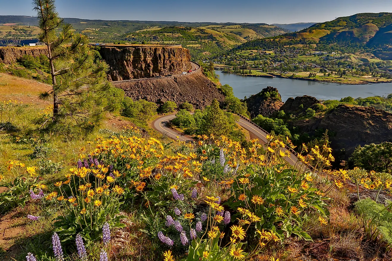
The Columbia River is the defining watercourse of the Pacific Northwest. Roughly 1,243 miles long, it rises in British Columbia, enters Washington from the north, loops through the Columbia Basin in a broad arc known as the Big Bend, then turns west to form about 300 miles of the state's border with Oregon before reaching the Pacific at Astoria. It is the largest river by volume flowing into the Pacific from North America, and it drains a basin of some 258,000 square miles.
The river is also the backbone of the region's power grid. The Grand Coulee Dam, completed in 1942, is the largest power plant in the United States by generating capacity, at 6,809 megawatts, and it anchors an irrigation project that waters more than half a million acres of the Columbia Basin.
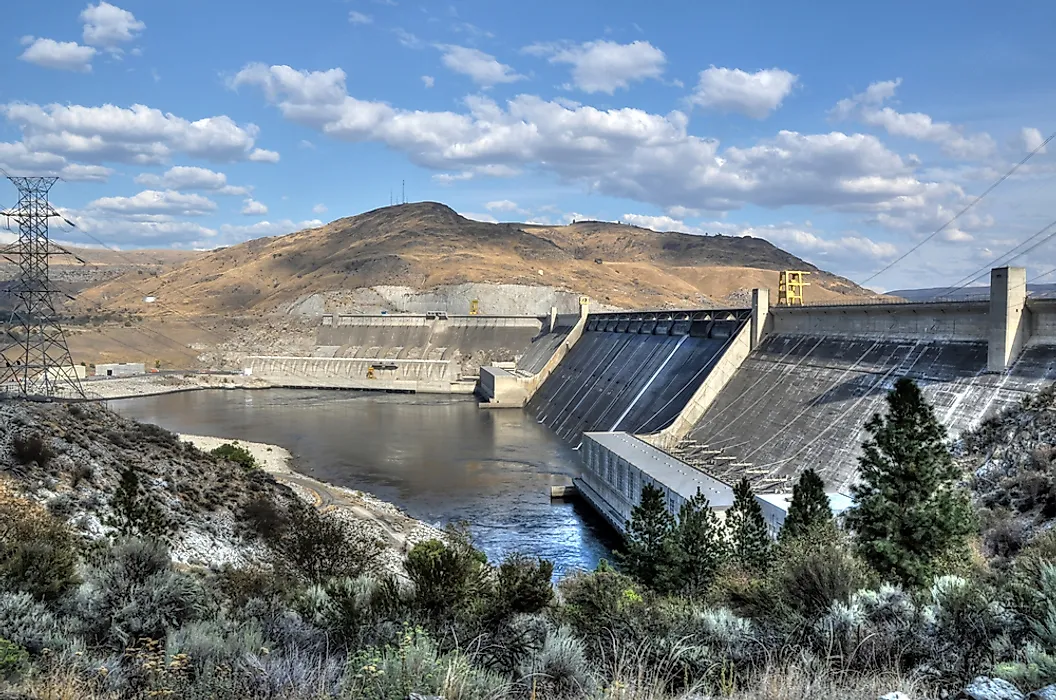
The Snake River is the Columbia's longest tributary, running about 1,078 miles from Wyoming through Idaho and across southeastern Washington. Other significant rivers include the Okanogan and Spokane in the east, the Yakima, which supports one of the state's richest irrigated valleys, and the Skagit, the largest river draining into Puget Sound. The Chehalis, Snohomish, and Nisqually round out the western drainage.
Lakes

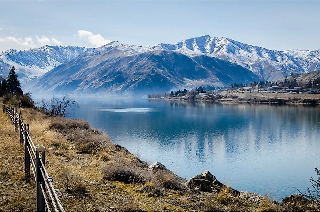
Washington contains thousands of lakes, most of them glacial in origin. Lake Chelan, a narrow fjord-like trough on the Cascades' eastern flank, stretches more than 50 miles and reaches a depth of about 1,486 feet, making it the deepest lake in the state and the third deepest in the country after Crater Lake and Lake Tahoe. It is also Washington's largest natural lake by surface area.
Lake Washington, on Seattle's eastern edge, is the second largest natural lake and is crossed by floating bridges built because its soft bed is too deep and too soft for conventional piers. Several of the state's biggest water bodies are reservoirs: Franklin D. Roosevelt Lake, impounded behind Grand Coulee Dam, extends roughly 130 miles upstream toward the Canadian border, while Ross Lake and Baker Lake fill glacial valleys in the North Cascades.
Climate at a Glance

Western Washington has a mild maritime climate with cool summers, mild winters, and persistent cloud cover from October through May. Its summers are dry enough that the Köppen system classifies much of the lowland west as warm-summer Mediterranean rather than true oceanic. Seattle receives about 37 inches of precipitation a year, less than many East Coast cities, but spread over far more days. Snow is uncommon at sea level and abundant in the mountains: Mount Baker Ski Area recorded 1,140 inches of snowfall during the 1998-99 season, a world record for a single season.
East of the crest, the climate turns continental and semi-arid, with summer highs frequently above 90 °F and winter lows well below freezing. This west-to-east gradient, produced almost entirely by the Cascades intercepting Pacific moisture, is the organizing principle behind Washington's forests, farms, rivers, and settlement patterns alike.
Washington Geography at a Glance
| Feature | Detail |
|---|---|
| Total area | Approx. 71,298 sq mi (18th largest state) |
| Highest point | Mount Rainier, 14,411 ft |
| Lowest point | Pacific Ocean, sea level |
| Longest river | Columbia River, approx. 1,243 mi |
| Deepest lake | Lake Chelan, approx. 1,486 ft |
| Bordering states | Oregon, Idaho |
| International border | British Columbia, Canada |
| Westernmost point (contiguous US) | Cape Alava |
| Active volcanoes | Rainier, Baker, Adams, Glacier Peak, St. Helens |
Where is Washington?
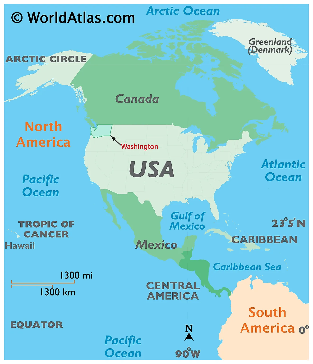
The State of Washington is located in the Pacific Northwest region of the United States. Washington is bordered by the states of Oregon in the south; by Idaho in the east, and by the Canadian province of British Columbia in the north. It is also bounded by the Pacific Ocean in the west.
Regional Maps: Map of North America
Outline Map of Washington
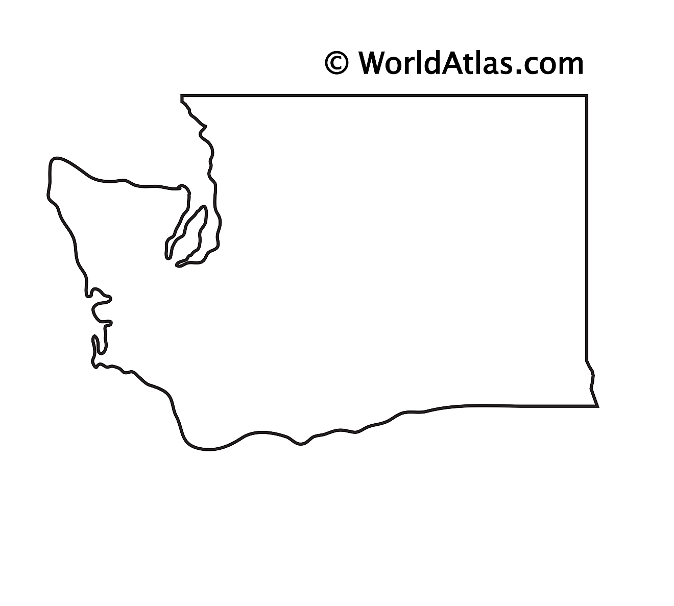
The above blank map represents the State of Washington, located in the Pacific Northwest region of the United States. The above map can be downloaded, printed and used for geography education purposes like map-pointing and coloring activities.
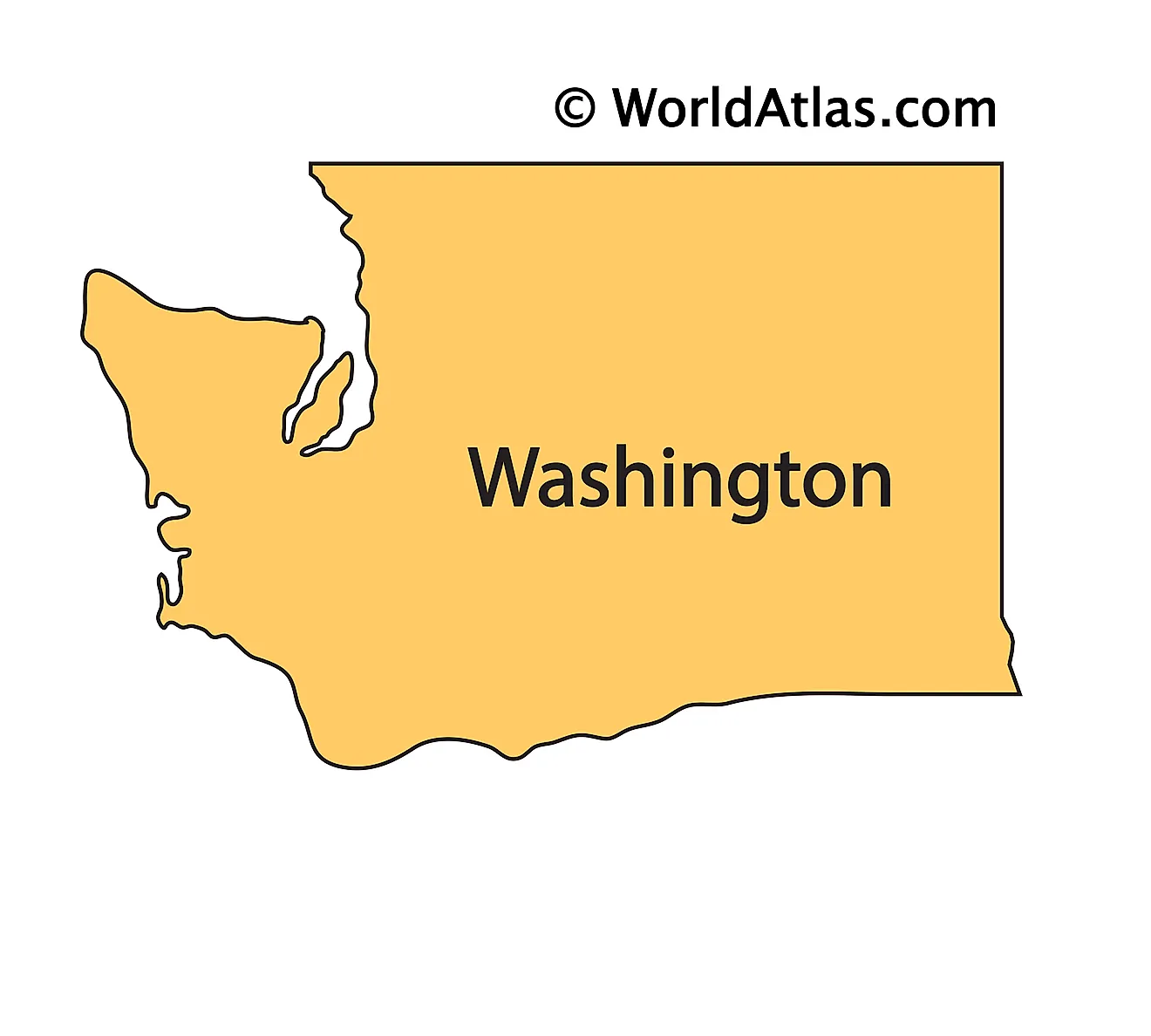
The above outline map represents the State of Washington, located in the Pacific Northwest region of the United States.
Key Facts
| Legal Name | State of Washington |
|---|---|
| ISO 3166 Code | US-WA |
| Capital City | Olympia |
| Major Cities |
|
This page was last updated on September 3, 2026