Maps of Uganda
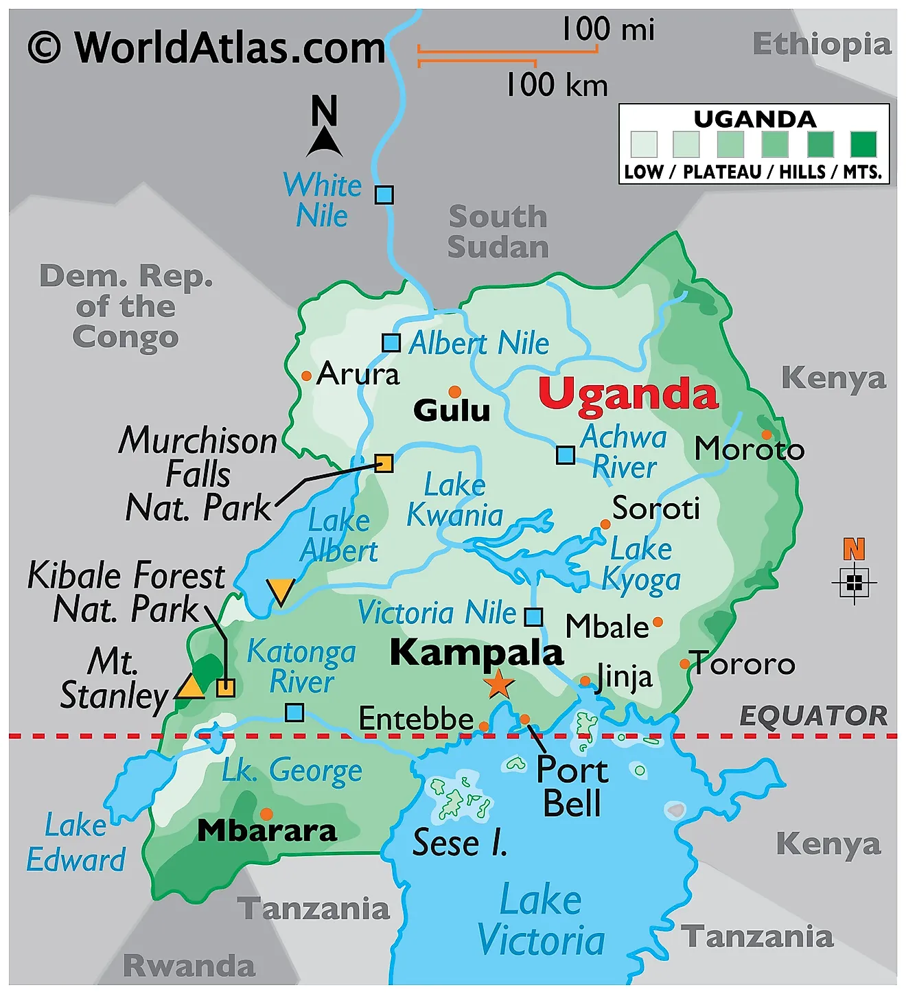
Located on the edge of the Equator, Uganda is positioned in south-central Africa and covers an area of 241,038 km². Uganda is bordered by the nations of the Democratic Republic of the Congo (DRC), Kenya, Rwanda, South Sudan, and Tanzania. Uganda averages about 1,100 meters (3,609 ft) above sea level, and while much of its border is lakeshore, Uganda is landlocked with no access to the sea. Most of Uganda is covered by a plateau that gradually drops in elevation northwards. Mountain ranges and valleys mark the edges of this massive plateau.
The Virunga and Ruwenzori Mountains, and the Western Rift Valley form the western boundaries of the country. The country's highest peak, the 5,109 m Margherita Peak is part of the Ruwenzori Range. The Imatong Mountains mark the edge of the Ugandan plateau to the north at the country's borders with South Sudan. The average elevation here is 1,800 m.To the northeast, the plateau ends in a string of volcanic mountains with Mount Elgon being the highest at 4,321 m.
Inselbergs are a common geographical feature across Uganda. Meaning "rock island" in German, these strange yet stunning rock structures tower above the savannahs and plateaus throughout the nation. Usually made out of granite or gneiss, the most famous example of an inselberg is perhaps Uluru in Australia or the Devil's Tower in Wyoming.
Lake Victoria forms the southern boundary of the country with Tanzania and Kenya. Lakes George and Edward lie between the Virunga and Ruwenzori mountains. Lakes Albert is located in the Western Rift Valley and the Albert Nile River also starts its course in this region. Uganda has eight major rivers, the Victoria Nile, Achwa, Okok, Pager, Albert Nile, Kafu, Mpongo, and Katonga. The country's southern rivers drain into Lake Victoria. Rivers rising to the north of this lake empty into Lake Kyoga. The southwestern rivers drain into lakes Edward and George while the Albert Nile drains Lake Albert. At 621 m, Lake Albert has Uganda's lowest point.
Regions of Uganda Map
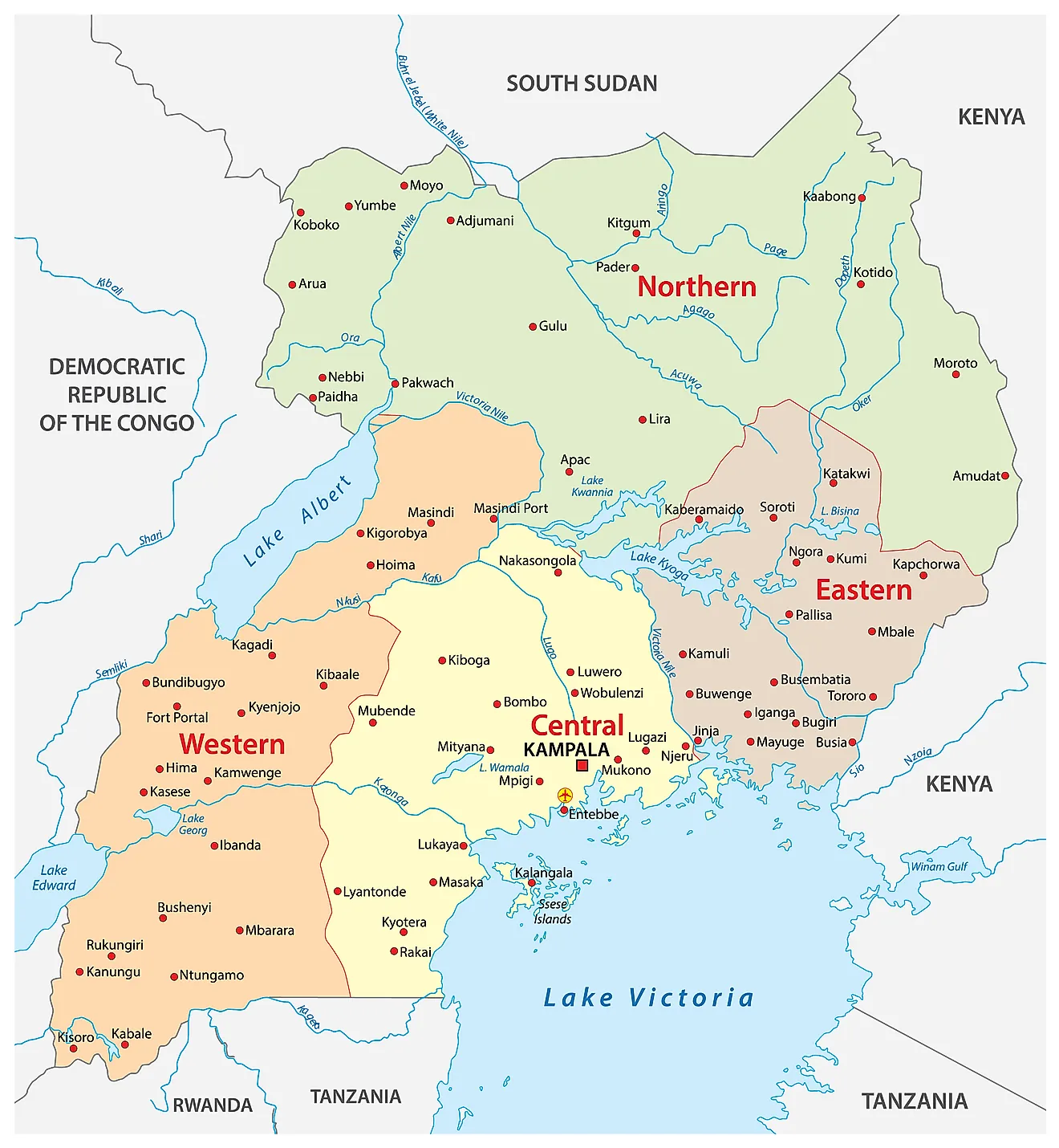
Uganda has four major administrative divisions called regions. These are Central, Western, Eastern, and Northern. These regions are further sub-divided into 15 sub-regions which are constituted by 121 districts. The districts are further broken down into smaller administrative units. These include 146 counties, 1 city council, and 13 municipalities.
With an area of 85,391.7 sq. km, the Northern Region of Uganda is the largest by area. In terms of population, the Central Region is the largest. Kampala, the regional capital of the Central Region, is also the national capital and largest city of Uganda.
Where is Uganda?
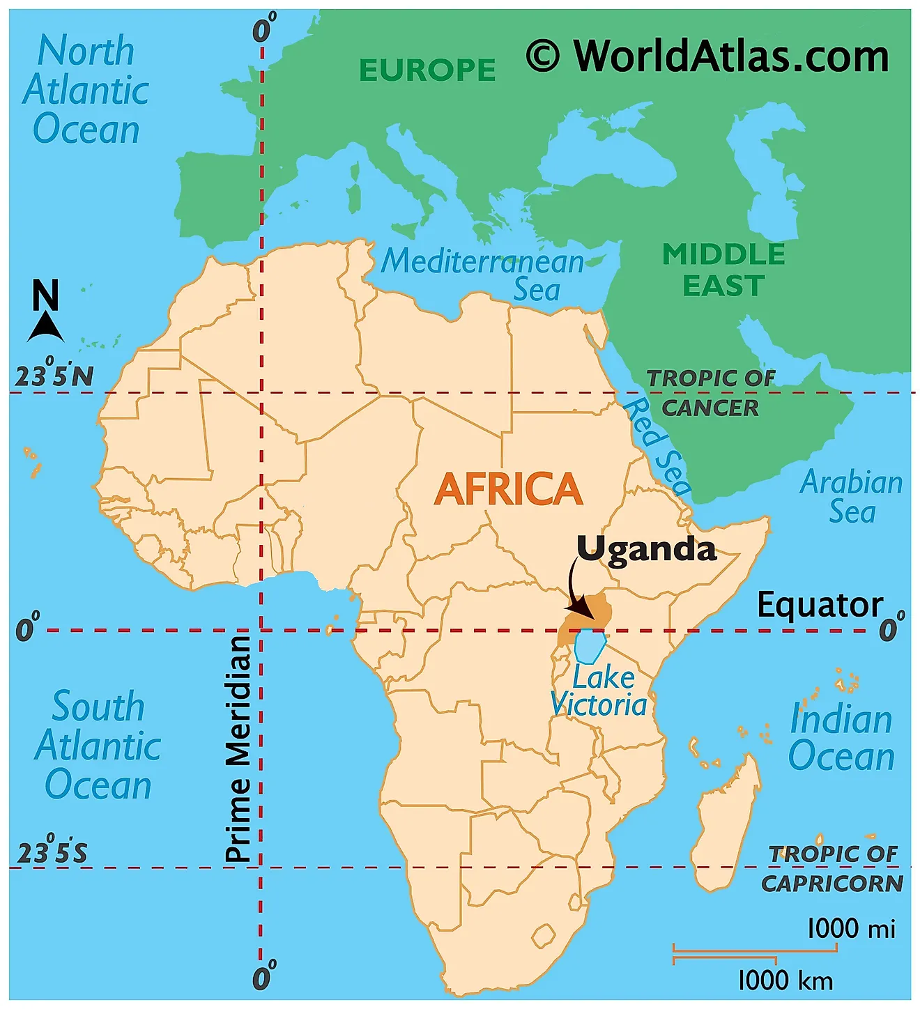
Uganda is a landlocked country located in East-Central Africa in the African Great Lakes region. It is located in the Eastern Hemisphere of the Earth. As observed on the location map above, the Equator passes through Uganda. Thus, the country has territory in both the Northern and Southern Hemispheres. Being a landlocked nation, it is bordered by neighboring countries on all sides. It shares its borders with five African countries. South Sudan bounds it to the north, Kenya to the east, Tanzania to the south, the Democratic Republic of the Congo to the west, and Rwanda to the south-west.
Uganda Bordering Countries: Kenya, Rwanda, South Sudan, Tanzania, The Democratic Republic Of The Congo.
Regional Maps: Map of Africa
Outline Map of Uganda
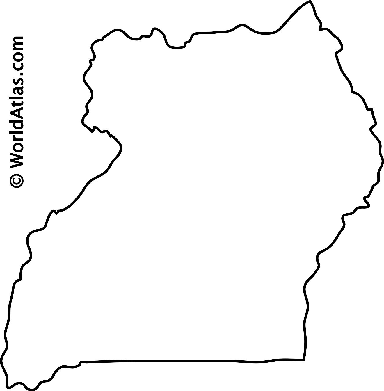
The blank outline map respresents the landlocked East-Central African country of Uganda. The above map can be downloaded for free, and used for educational purposes like map-pointing activities or for coloring.
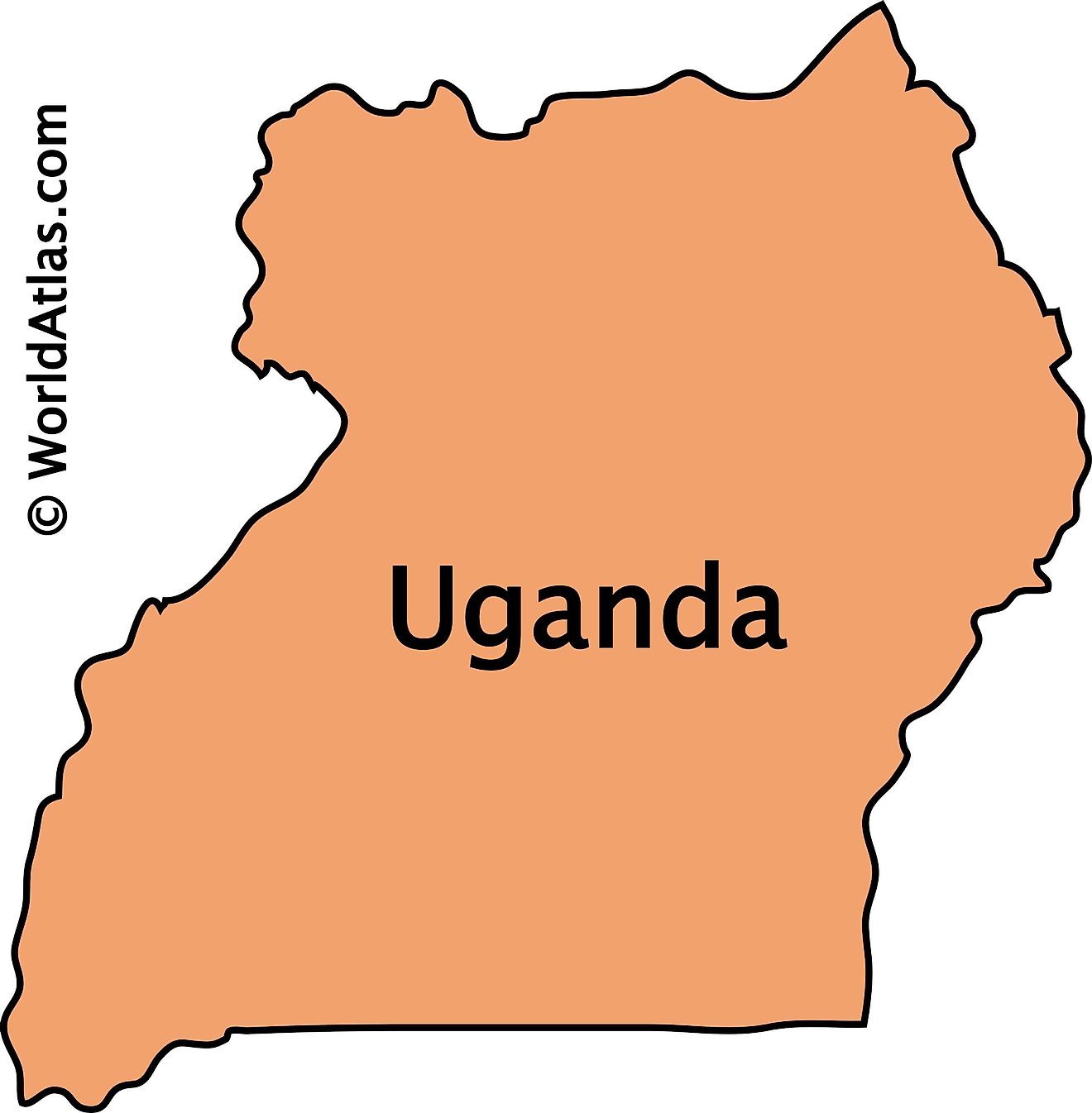
The outline map of Uganda represents the landlocked East-Central African country of Uganda.
Key Facts
| Legal Name | Republic of Uganda |
|---|---|
| Flag |
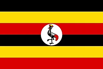
|
| Capital City | Kampala |
| 0 19 N, 32 33 E | |
| Total Area | 241,038.00 km2 |
| Land Area | 197,100.00 km2 |
| Water Area | 43,938.00 km2 |
| Population | 44,269,594 |
| Largest City |
Kampala (3,846,102) |
| Currency | Ugandan shillings (UGX) |
| GDP | $34.39 Billion |
| GDP Per Capita | $776.77 |
This page was last updated on December 26, 2023

