Maps of Togo
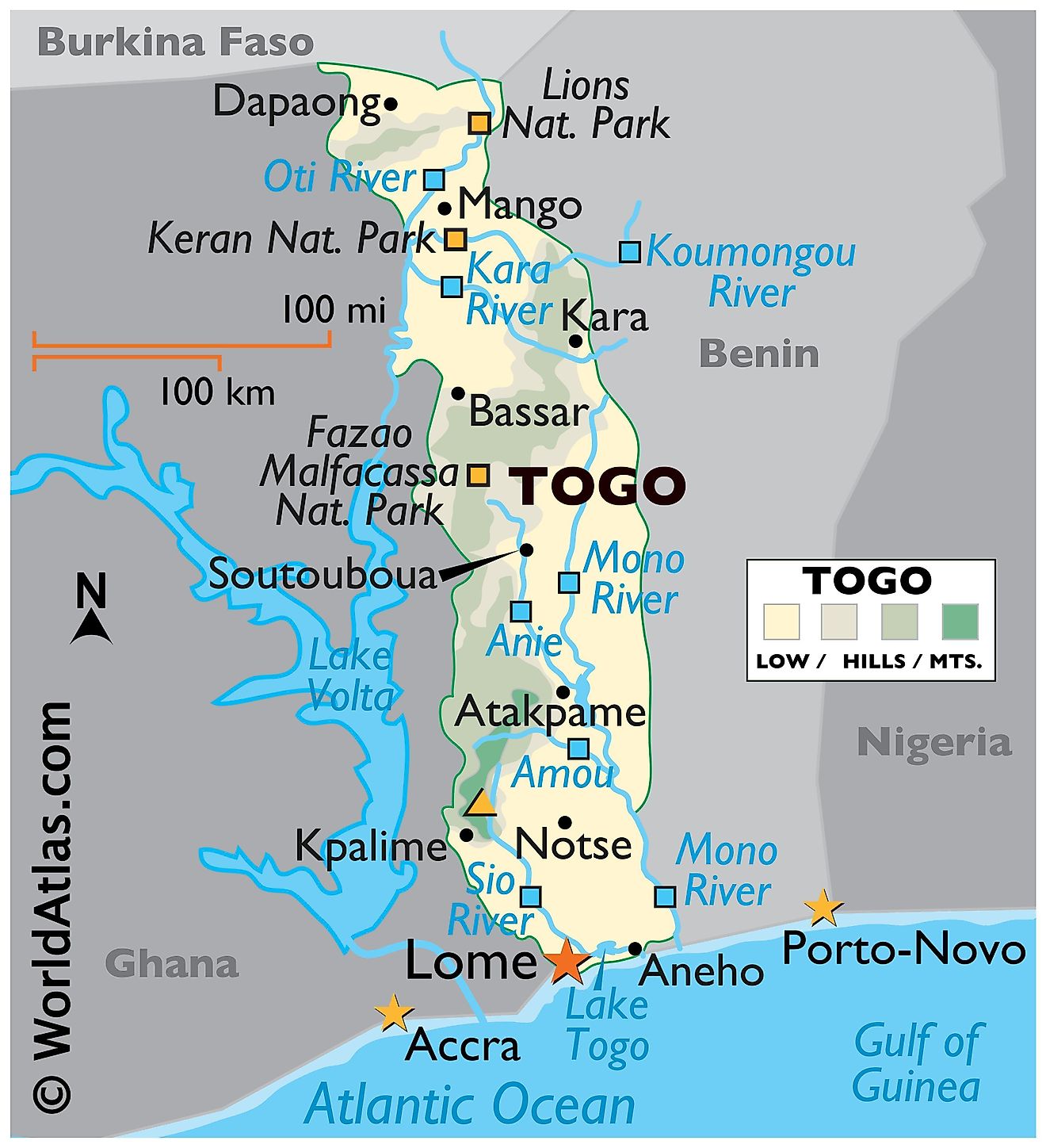
Togo is a small country located in West Africa occupying an area of only 56,785 sq. km. The country extends as a long strip of land from its southern coast on the Bight of Benin. Togo's coastline is only 56 km long. Togo is largely made up of rolling savannahs in the north, a hilly central region, and a flat coastal plain in the south. Togo is bordered by three other nations, Ghana, Burkina Faso, and Benin.
The Ouatchi Plateau has an average elevation of 60 to 90 m and stretches inland for around 32 km beyond the coast. To the northeast of this plateau is a tableland with elevations ranging from 400 to 460 m. The Mono River and its tributaries drain this region.
The Togo Mountains host the highest point in the country, the 986 m tall Mount Agou. These mountains run north to south along the western banks of the Sio River. Hilly and mountainous terrains continue to creep northward until they gradually flatten out into grassland past the Kara River. These northern savannahs have all manner of exotic African wildlife and can be seen primarily at Lions National Park.
The Oti River's watershed comprises a sandstone plateau drained by the Oti and its tributaries are located to the north of the Togo Mountains. The Dapaong cliffs are located further northwest. To the south, the landscape along the narrow coast features low-lying sandy beaches that give way to tidal flats and shallow lagoons. As observed on the physical map above, Lake Togo, a lagoon, is located in this region along with the capital city of Lome.
Regions of Togo Map
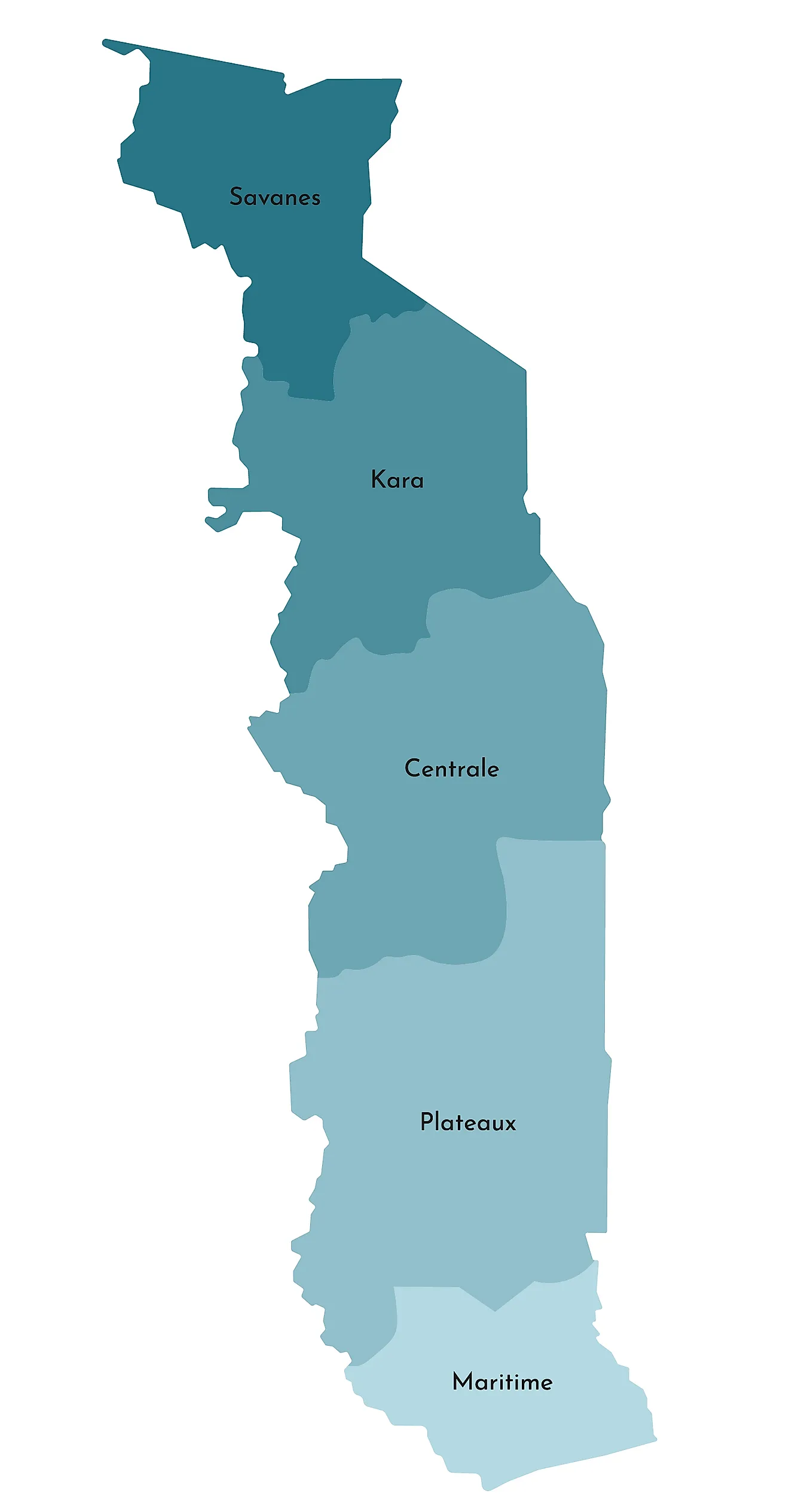
Togo is divided into five administrative regions. In alphabetical order, these regions are Centrale, Kara, Maritime, Plateaux, and Savanes. These regions are further subdivided into 30 prefectures.
With an area of 16,975 sq. km, Plateaux is the largest region of Togo while Maritime is the most populous one.
Lomé, the capital and largest city of Togo, is located in the Maritime Region.
Where is Togo?
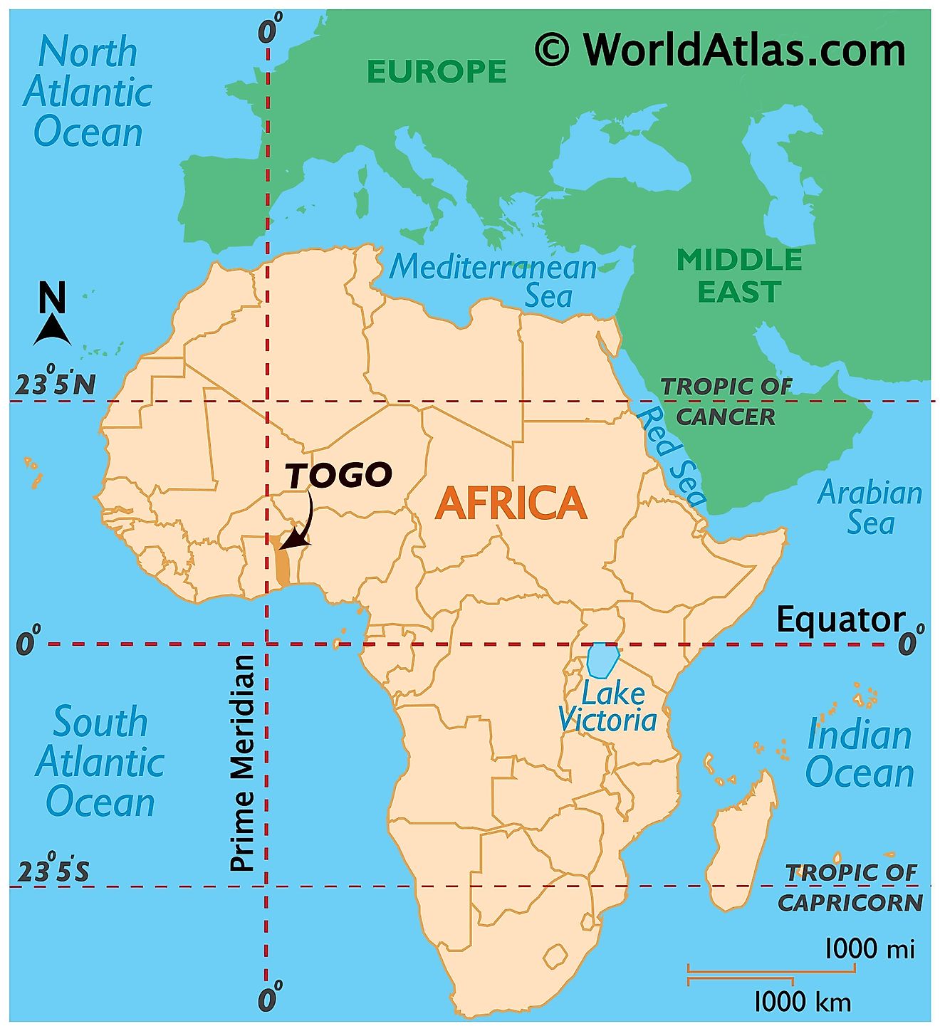
Togo is a small West African country. It is located in the Northern and Eastern hemispheres of the Earth. It is bordered by three African nations; Burkina Faso to the north, Ghana to the west, and Benin to the east. The Bight of Benin of the Gulf of Guinea borders Togo to the south.
Togo Bordering Countries: Burkina Faso, Ghana, Benin.
Regional Maps: Map of Africa
Outline Map of Togo
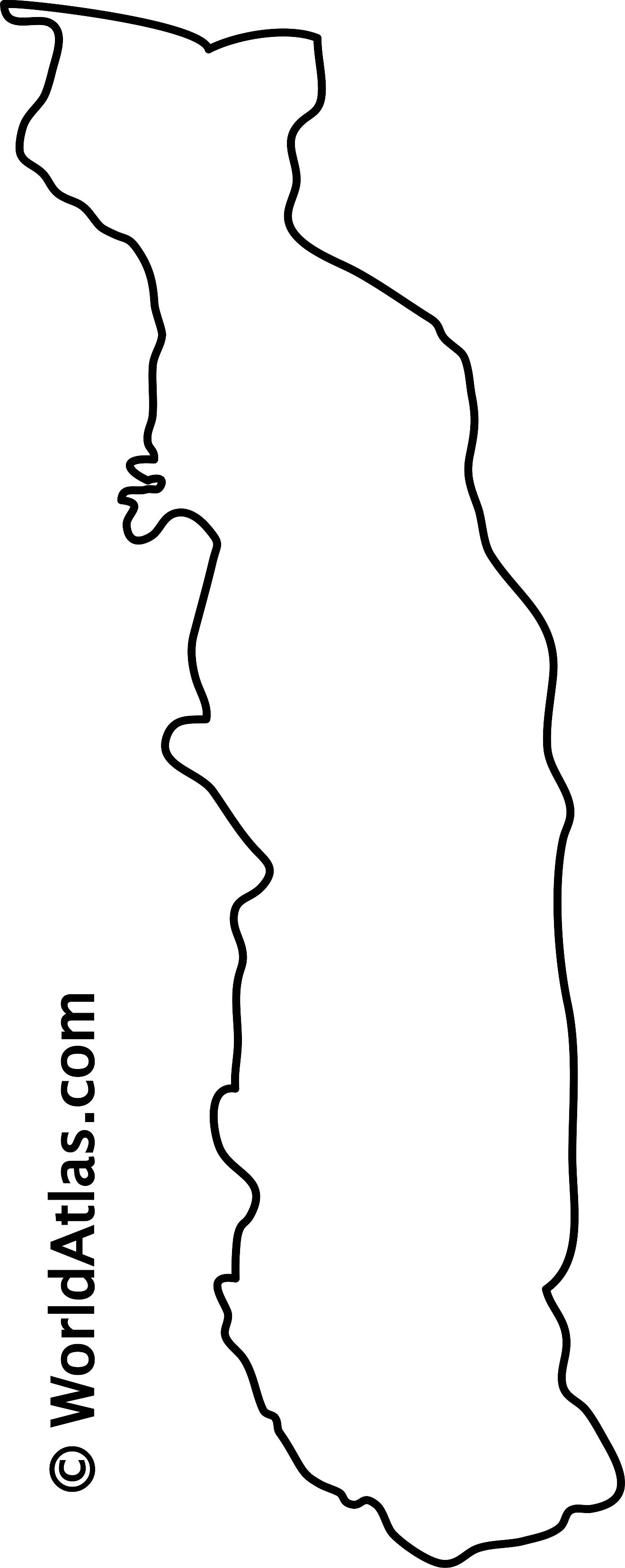
The blank outline map respresents the West African country of Togo. The above map can be downloaded for free, and used for educational purposes like map-pointing activities.
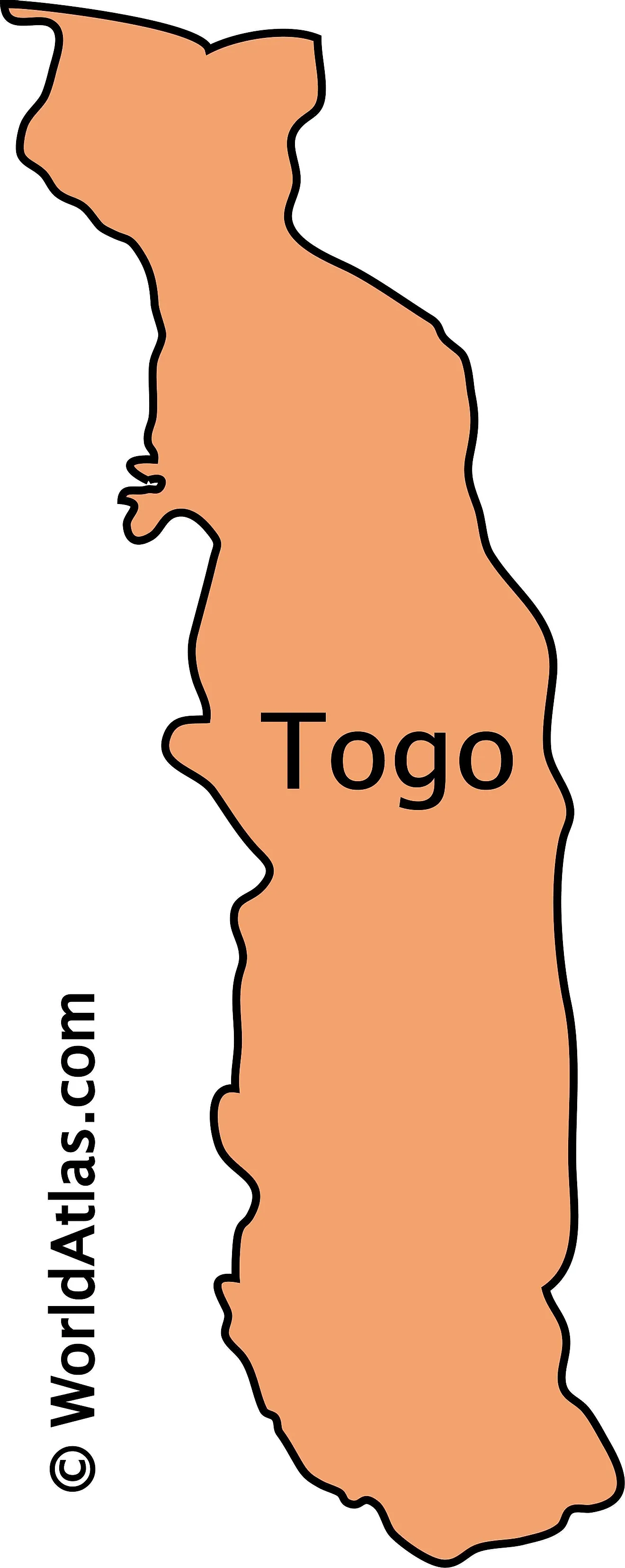
The outline map of Togo represents the West African country of Togo. It runs in a north-south direction as a nearly vertical narrow band.
Key Facts
| Legal Name | Togolese Republic |
|---|---|
| Flag |
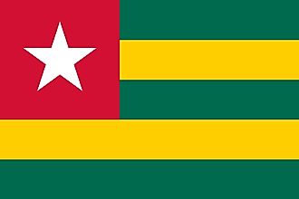
|
| Capital City | Lome |
| 6 07 N, 1 13 E | |
| Total Area | 56,785.00 km2 |
| Land Area | 54,385.00 km2 |
| Water Area | 2,400.00 km2 |
| Population | 8,082,366 |
| Largest City |
Lomé (1,981,615) |
| Currency | Communaute Financiere Africaine francs (XOF) |
| GDP | $5.46 Billion |
| GDP Per Capita | $675.54 |
This page was last updated on December 17, 2023
