What Happens If The Sacramento Delta Levees Fail
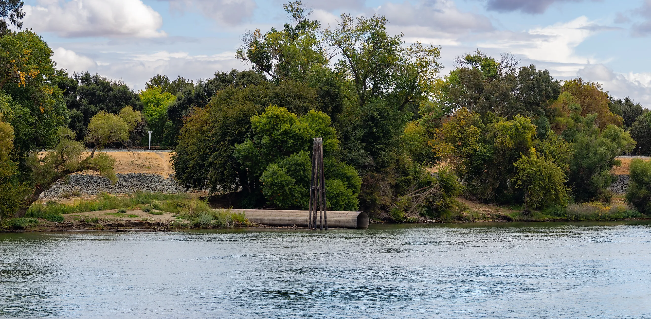
Somewhere in California's Sacramento-San Joaquin Delta, a farm can be a couple of stories lower than the water in the channel next to it, with nothing between them but a wall of packed dirt. There are about 1,100 miles of these levees in the Delta, and most people who depend on them rarely give them a thought. That is the whole problem. The land here is not solid ground so much as a grid of shallow basins, each one a bathtub with the plug wedged shut, and when one plug fails the water does not stop at the edge of the field. The damage spreads well past the Delta, and the cleanup is measured in seasons, not days. Californians have been through the small version of this before. What their water planners lose sleep over is the bigger one, when the failure is not a single break but many at once.
California Could Lose A Major Water-Supply Route

Freshwater moving through the Delta feeds the State Water Project and Central Valley Project pumps near the southern end of the estuary. The California Department of Water Resources says the system helps supply about 27 million people and roughly 750,000 acres of farmland. A multi-island failure would threaten that route even if the pumping plants themselves remained intact.
As flooded islands pull water from surrounding channels, saltier water from San Francisco Bay can move farther east. Operators must reduce or stop exports when salinity reaches levels that make the water unsuitable for municipal and agricultural use. California would still have reservoirs, groundwater, Colorado River deliveries, and local supplies, so this is not a scenario in which 27 million people immediately lose running water. Instead, one of the state's main water corridors would be restricted just as cities and farms began leaning more heavily on other sources.
Saltwater Could Move Farther Inland

Much of the central Delta sits lower than the waterways around it. Decades of draining peat soils caused the land surface to sink, leaving some islands nearly 25 feet below sea level. When a levee opens, water pours into that depression until the flooded tract begins approaching the level of neighboring channels.
The rush can shift the boundary between fresh river water and saltier Bay water. San Francisco Bay pushes tidal water east while the Sacramento and San Joaquin river system pushes freshwater west. Fill several deep islands at once and that balance changes sharply.
California has already seen the mechanism on a smaller scale. After a levee failure on Brannan-Andrus Island in 1972, salinity moved inland far enough to interrupt state and federal water exports. The severity of another intrusion would depend on river flow, tides, season, and the location of the breaches. The physics behind it is straightforward: below-sea-level islands suddenly filling with water can pull the salt line deeper into the Delta.
Some Delta Islands Would Fill Like Reservoirs

A flooded Delta island does not behave like ordinary riverside ground because many tracts are enclosed depressions. Upper Jones Tract showed what that means in June 2004. About 12,000 acres flooded after a levee failed, and the tract filled with an average of roughly 12 feet of water. Crews closed the breach in about a month, but dewatering continued for months and was completed by December. Severe earthquake studies have examined much larger events, including an older California Department of Water Resources scenario in which 20 islands flooded at once. The 20-island figure was a modeling case, not a forecast for the next earthquake. It illustrates the scale planners have considered: every subsided tract can become a separate temporary lake, leaving emergency crews to close multiple breaches while enormous volumes of water remain trapped behind surviving levees.
Transportation And Utility Corridors Would Take Hits

The Delta carries far more than irrigation water. Roads, railways, aqueducts, petroleum and natural-gas pipelines, electrical lines, and communications equipment cross its islands and levees. Floodwater can cut the same routes needed to bring rock, pumps, machinery, and workers toward a damaged section.
Jones Tract provided a real example. The 2004 flood affected an area crossed by a BNSF rail line and near Highway 4, making transportation infrastructure part of the emergency response. State planning documents also identify energy, water, and communications systems among the assets exposed to Delta flooding. During a multi-breach event, damage to one network can complicate work on another. Road closures may slow access to repair sites while power or communications failures interfere with operations elsewhere. Delta levees therefore protect more than the farms immediately behind them. They also shield infrastructure that connects communities and carries water, energy, freight, and people across the region.
Farmland Could Stay Out Of Production Long After The Flood

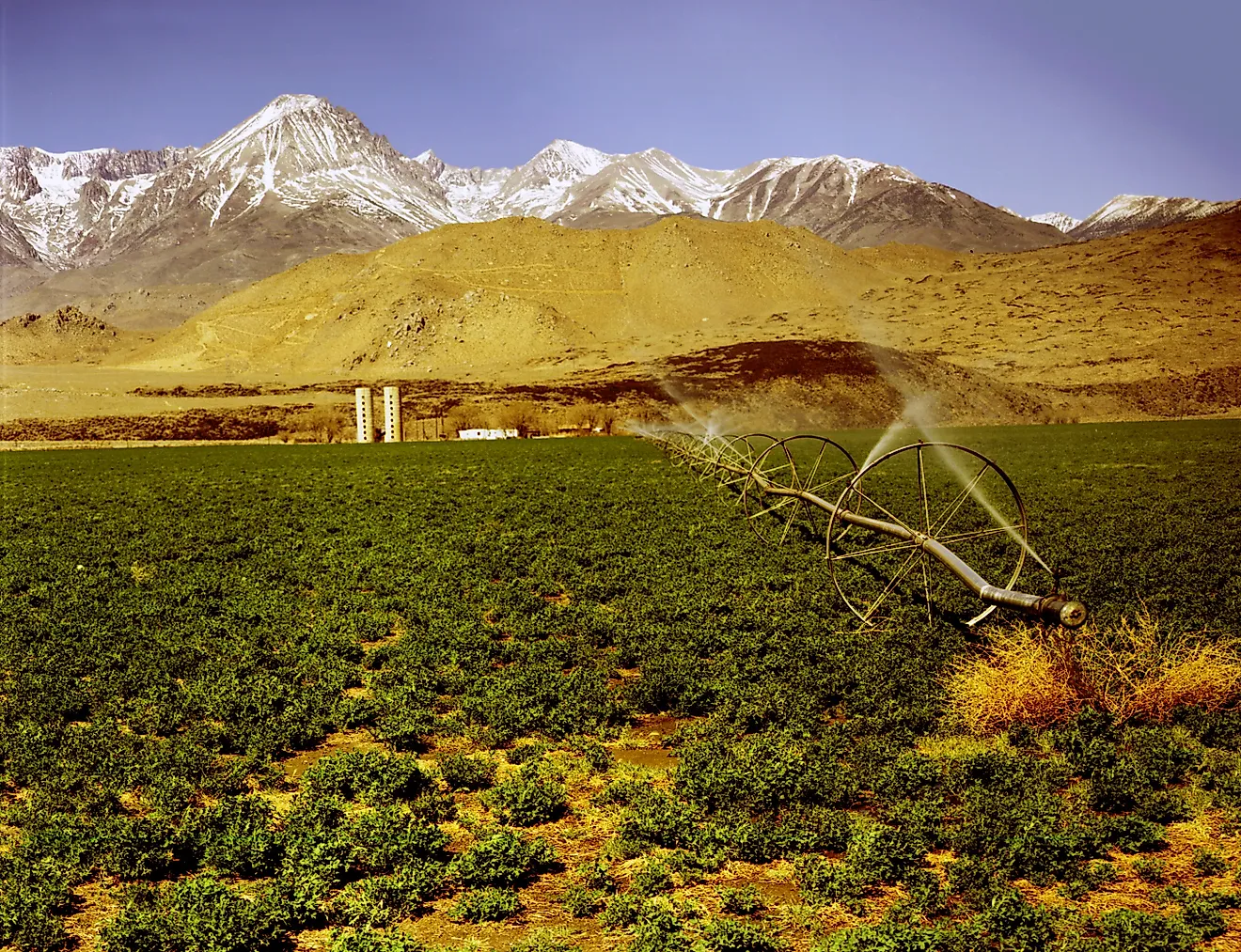
More than 400,000 acres of farmland lie within the Delta, according to the Water Education Foundation. A major breach can drown crops, damage pumps and drainage systems, strand machinery, and leave farm buildings standing in deep water. Drying the land is another job entirely. After the 2004 Jones Tract failure, researchers estimated that about 197 million cubic meters of water had to be removed, while total recovery costs reached roughly $90 million. Saltwater intrusion can slow recovery because saline water may leave soils unsuitable for immediate planting. Deeply subsided islands are especially demanding to reclaim, since pumps must lift huge volumes of water back across the levee system before repairs to fields, roads, and irrigation equipment can begin. Agricultural losses would therefore continue after a breach was sealed, and some tracts could miss later growing seasons while drainage and soil conditions were restored.
The Delta's Waterways Could Be Altered For Years

Flooding several islands at once would redraw the way water moves through the estuary. Channels that normally carry river water past leveed farmland would suddenly connect with large new bodies of open water. Current speed, salinity, sediment movement, temperature, and the path freshwater takes toward the central and southern Delta would all change.
Those shifts matter for native fish and drinking-water quality. Flooded organic soils can release dissolved material and nutrients, while inundation can also change the chemical conditions that control mercury methylation, a long-standing water-quality concern in the Delta. The ecological response would vary substantially by location rather than producing the same effect across every flooded island.
Recovery would continue after the breaches were closed. An older DWR catastrophe model involving 20 flooded islands estimated roughly 30 months for breach repair and dewatering. Modern emergency planning aims to restore freshwater pathways much sooner, particularly around the export system, and the modeled figure should not be read as a prediction for every disaster. Even with a faster response, draining islands, rebuilding levees, and reconnecting damaged infrastructure would make a major multi-island failure a prolonged engineering and water-management challenge.