The Widest River In The United States
How wide can a river actually get? At one remarkable spot in northern Minnesota, the Mississippi River spreads out to more than 11 miles from bank to bank, which makes it, by most measures, the widest river in the United States. But that jaw-dropping number comes with a sizable asterisk, and the real answer depends entirely on how you choose to measure. Here is the full story of America's widest river.
The Answer: The Mississippi River

The Mississippi is America's most famous river, and it also holds the title of its widest. Along its 2,300-plus-mile journey from Minnesota down to the Gulf of Mexico, it swells to a maximum width of more than 11 miles at one dramatic point. No other river in the country comes anywhere close to spreading that wide. But where exactly does it balloon to such an enormous size, and is it really the river itself doing the widening? That is where things get interesting.
Where It Happens: Lake Winnibigoshish

The Mississippi reaches its absolute widest at Lake Winnibigoshish, a roughly 67,000-acre lake in north-central Minnesota's Chippewa National Forest, near the tiny town of Bena. The river flows into one side of the lake and out the other, spreading across more than 11 miles of open water in between. Here is the asterisk, though: "Winnie," as locals call it, is a natural lake that the river simply passes through, not the free-flowing river channel itself. So while it is genuinely the widest point anywhere along the Mississippi's course, purists like to point out that the river is really just borrowing a lake's width. Fittingly, its Ojibwe name roughly translates to "filthy water."
The Widest Navigable Stretch: Lake Pepin

If you only count water that boats and barges can actually travel, the widest spot is Lake Pepin, another natural river-lake, this one straddling the Minnesota-Wisconsin border. There the Mississippi's shipping channel broadens to about 2 miles across, making it the widest navigable section of the entire river. That is only a small fraction of Winnibigoshish's span, but it is the widest the working, boat-carrying river ever gets, which is why it often shows up as the "official" answer among people who insist a river should be something you can pilot a barge down.
From an Ankle-Deep Trickle to a Giant

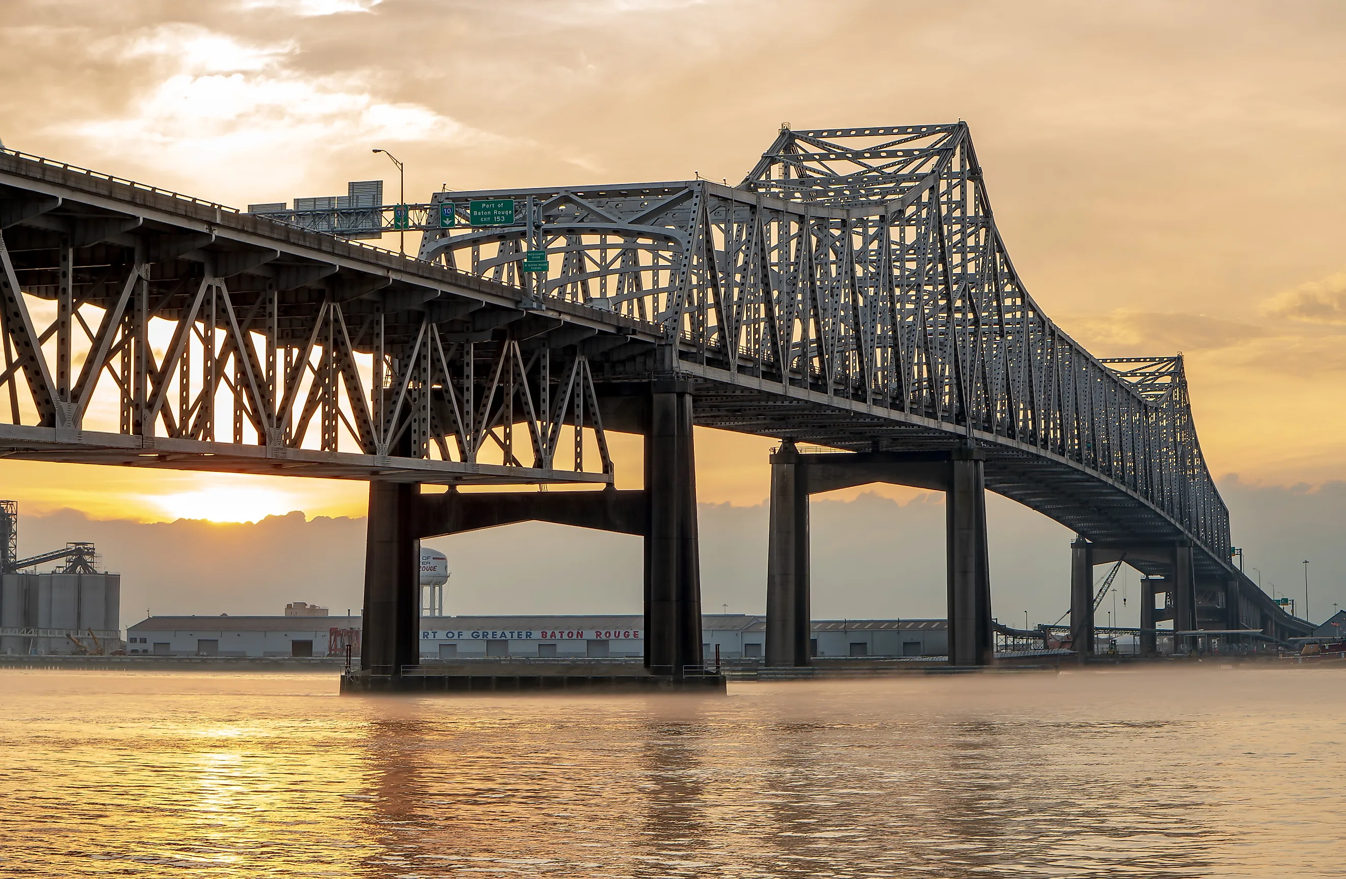
What makes that 11-mile figure so striking is just how small the river starts out. At its source at Lake Itasca in Minnesota, the infant Mississippi is barely 20 to 30 feet wide, shallow enough to wade straight across on foot. From there it grows steadily, running roughly 600 feet wide at Minneapolis, about a third of a mile at St. Louis, and up to a mile or more as it rolls past New Orleans toward the Gulf. Its widest free-flowing stretches tend to come where giant tributaries like the Missouri and Ohio come pouring in. So depending on how you measure, "the widest river in America" is either an 11-mile lake, a 2-mile shipping channel, or a mile-wide muddy giant. Either way, the answer is always the Mississippi.