This Tennessee Scenic Byway Is The Road Trip Of A Lifetime
Most of the human history of the Cumberland Plateau sits within reach of one road. The Cumberland Historic Byway runs roughly 200 miles across the high tableland that once blocked settlers bound for the West. Pioneers pushed through the Cumberland Gap to reach open country beyond the Appalachians. Many others stopped and built lives on the plateau instead. Their marks are still here in a utopian village and the birthplace of a decorated soldier. A string of state parks sits along the lakeshores in between. This Tennessee scenic byway is the road trip of a lifetime.
Standing Stone State Park

A dog-shaped rock gave this first stop its name, one that older accounts say marked a boundary between Cherokee and Shawnee land. Standing Stone State Park sits on former farmland near Hilham, worn thin by decades of plowing before the Works Progress Administration rebuilt it in the 1930s. That New Deal work left behind the stone dam at 69-acre Kelly Lake, a set of rental cabins, and the first hiking trails.
At under 1,000 acres, the park makes an easy day stop. The 4.7-mile lake trail can be walked in sections or looped end to end, and the Jordan Spur Trail cuts through wildflowers in the warmer months. Marbles players have gathered here every September since 1983 for the National Rolley Hole Marbles Tournament, a folk competition played on a dirt yard with flint spheres.
Overton County Heritage Museum

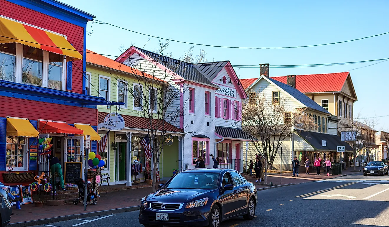
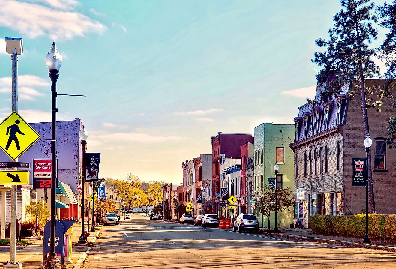
View along the south side of the courthouse square in Livingston, Tennessee, with Main Street on the left. Editorial credit: Brian Stansberry, CC BY 4.0, via Wikimedia commons.
The next stop is a county museum inside a former jail in Livingston, with a lot packed into a small footprint. Its collection reaches back to the American Revolutionary War and figures like Joseph French, a patriot who settled the region after the fighting ended. Much of the display follows the settlers who came through the Cumberland Gap to reach the frontier past the Appalachian Mountains.
The staff have made room for quieter histories too. One display covers African American residents; another covers the Alpine Institute, a mission school the Presbyterian Church ran to reach children in remote rural pockets. A further case holds tools and records from the Civilian Conservation Corps, the Depression-era program behind much of the country's early park infrastructure.
Sgt. Alvin C. York State Historic Park

On October 8, 1918, a corporal from Pall Mall carried out one of the most storied feats of World War I. Alvin York's platoon had been cut down during the Meuse-Argonne Offensive in France, leaving him with a handful of survivors. He took command, silenced the German machine-gun positions, and led the capture of 132 enemy soldiers. Films, songs, and this park have kept his name in circulation ever since.
The park in Pall Mall is built around York's family farm and the gristmill he later ran, with the Wolf River running past both. Bass, catfish, and trout hold in its pools. A recreated trench near the visitor area shows what the fighting looked like from the ground.
Historic Rugby

Rugby began in 1880 as one man's answer to the rigid class system of Victorian England. Thomas Hughes, the English author of Tom Brown's School Days, planned a cooperative farming colony where the second sons of British gentry could start over without inherited rank. Disease, poor soil, and a couple of hard winters thinned the population, and most colonists had gone by 1900. Enough stayed to keep the place alive.
What remains is a preserved Victorian village with much of its 1880s core intact. Visitors can walk through the 1882 Thomas Hughes Free Public Library, the 1887 Christ Church Episcopal, and Kingstone Lisle, the founder's home, finished in 1884. Guided walks leave from the Rugby Visitor Center & Theatre, among them a daytime history tour and an after-dark Haunted Village Lantern Tour.
Chuck Swan State Forest

Water surrounds this stop on three sides. The roughly 24,700-acre Chuck Swan State Forest occupies a peninsula between Norris Lake and the Powell and Clinch rivers, the only stretch of the Southern Appalachian Ridge and Valley province in the state forest system. It suits anyone willing to get off the main routes.
Fifty-three rural cemeteries are scattered through the forest, along with a firing range, hunting grounds, and trails that pass through wetlands and along the riverbanks and lakeshore. Six picnic areas make room for a packed lunch, four of them with lake views.
Southeast across Norris Lake lies Big Ridge State Park, 3,687 acres in the foothills of the Appalachian Mountains. The Fisherman Trail and the Ghost House Trail leave from near the old gristmill. Paranormal enthusiasts favor the second one for the reputedly haunted homesite and cemetery along its 1.2-mile loop.
Cumberland Gap National Historical Park

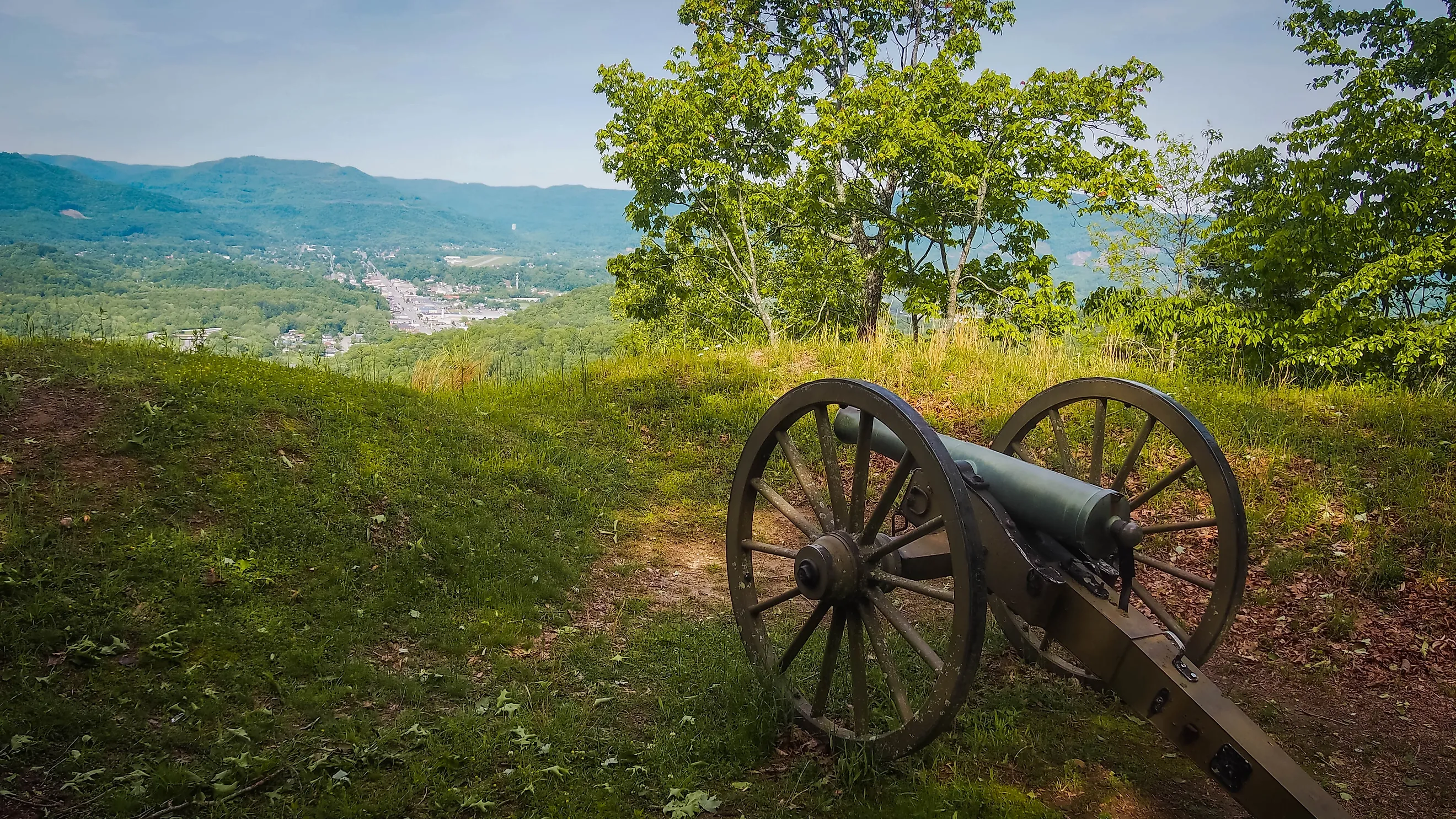
The byway ends where three states meet. Cumberland Gap National Historical Park straddles the corner of Tennessee, Kentucky, and Virginia, the notch through which roughly 300,000 settlers crossed the Appalachians into the interior. More than 80 miles of trail now trace the route those pioneers took, including the climb to Pinnacle Overlook. Civil War earthworks still crown the ridge there, among them Fort Lyon, part of a fortified pass that changed hands four times during the war. The Tri-State Peak Trail reaches the exact point where Kentucky, Tennessee, and Virginia converge.
Higher up, on the Kentucky side, sits the Hensley Settlement. Burton Hensley bought the land atop Cumberland Mountain around 1900 and split it among his children. His son-in-law Sherman Hensley moved a family up in 1903 and started the community in earnest. Cut off from the valleys below, the settlement held on until 1951, when Sherman Hensley walked out as its last resident.
The many sides of the Appalachians
Two impulses run the length of the Cumberland Historic Byway. Some who came this way wanted only to get over the mountains and build a life farther west. Others looked at the same ridges and foothills and decided to stay, from Hughes and his colonists to the isolated families of the Hensley Settlement. A third thread runs through the parks along the route, the New Deal work of the CCC and WPA that turned worn-out farms into places people now drive hours to see. A trip down this byway ends with more than photographs. It ends with the accumulated stories of everyone who lived here or passed through on the way to somewhere else.