This South Carolina Scenic Byway Is The Road Trip Of A Lifetime
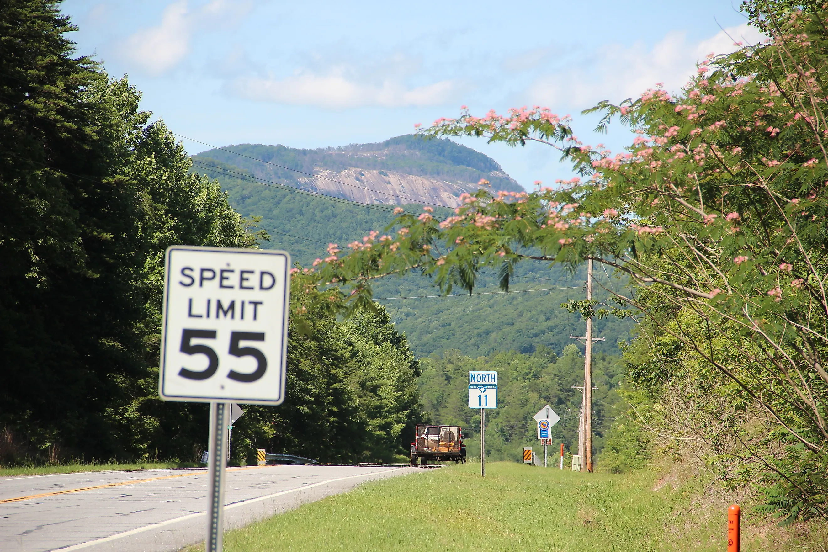
South Carolina Highway 11 runs about 120 miles along the foot of the Blue Ridge escarpment. State transportation officials named it the Cherokee Foothills Scenic Highway, one of four routes in South Carolina carrying federal National Scenic Byway designation. Three hours covers the driving. The rock wall to the north is the reason to take longer than that. Almost everything worth pulling over for on this route exists because of it. Water drops off that wall. Reservoirs sit below it, peach orchards cover the warm ground east of it, and a Revolutionary battlefield marks the end of the run.
Above Lake Hartwell

South Carolina 11 leaves Interstate 85 at Exit 1, less than a mile short of Georgia. Lake Hartwell spreads across both sides of the interstate here. Behind Hartwell Dam the Army Corps of Engineers holds 55,950 acres of water at full pool. The dam itself is about 7 miles below the junction where the Tugaloo and Seneca Rivers become the Savannah.
Further along, Oconee Station State Historic Site sits a short way up Oconee Station Road. Two buildings survive from the frontier that once ran through this county. One is a stone blockhouse that the South Carolina State Militia held as an outpost through the 1790s. The other is the William Richards House, which an Irish immigrant put up in 1805 to hold his trading post. Interpretive waysides fill in what the buildings cannot.
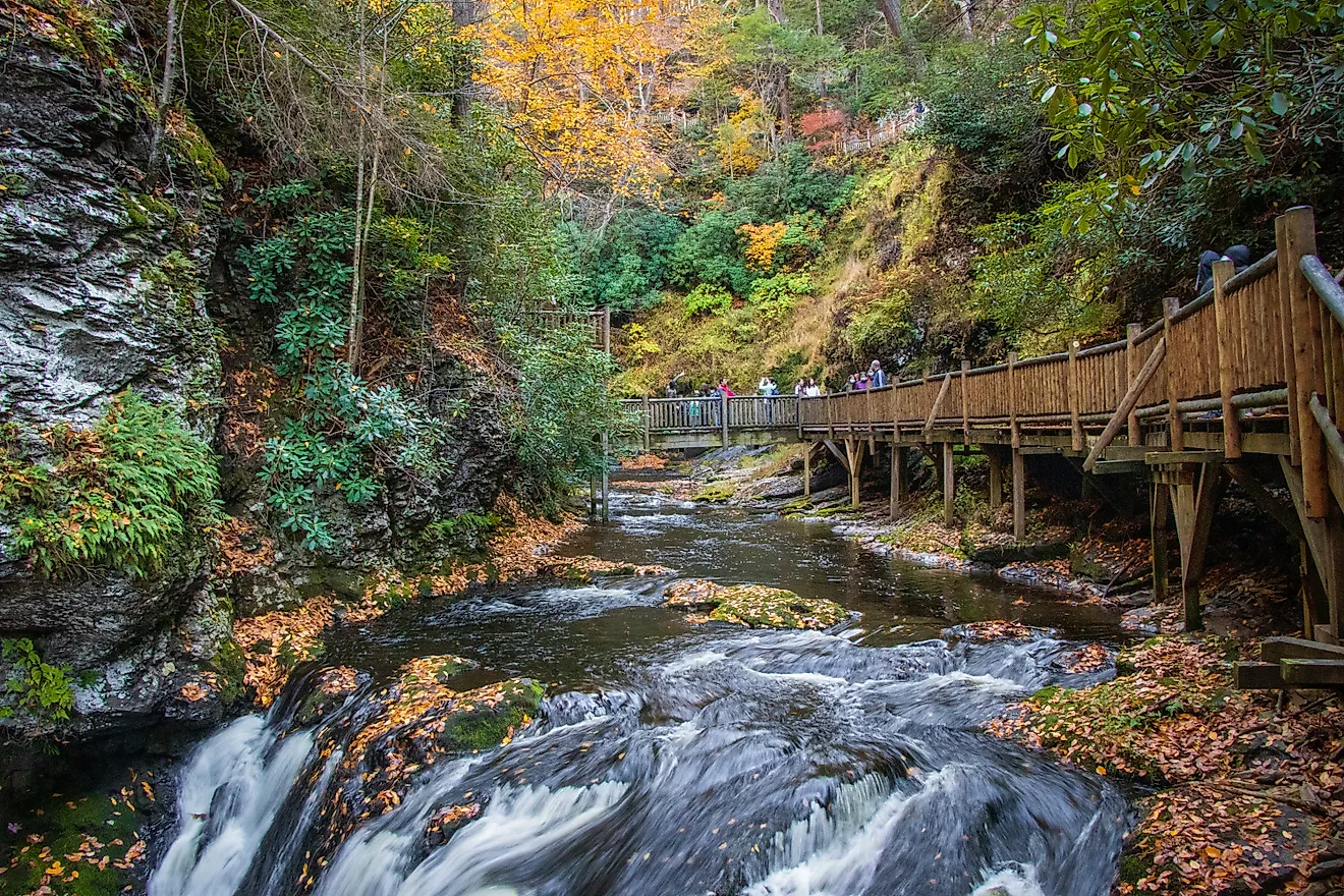
Behind those two structures, a 1.5-mile nature trail links to a path into Sumter National Forest. It finishes at Station Cove Falls, 60 feet of water dropping through a cove thick with wildflowers each spring.
Where the Gorges Cut In

Keowee-Toxaway State Park comes 40 miles up the byway from the interstate, roughly 53 minutes behind the wheel on two-lane road. The Jocassee Gorges Visitor Center here explains the landform on which the whole drive depends. Two trails cross a natural bridge, and a half-mile path drops to the shore of Lake Keowee.
The state park service describes the landform plainly. East of the Georgia state line, as far as Jones Gap, mountain rivers have carved steep-sided gorges on their way down to the Piedmont. That carving broke up what was once a uniform sloping face, and the gorges left behind carry the name Jocassee.
Devils Fork State Park lies a few minutes on, down Jocassee Lake Road. This park has the only public access to Lake Jocassee, 7,500 acres of cold, clear water fed by four mountain streams. More waterfalls pour into the lake off wooded slopes. The park's 1-mile Oconee Bell Nature Trail passes the rarest thing on this drive. The Oconee bell grows in only a handful of places across the Carolinas and Georgia, and it flowers from mid-March to early April.
Under Table Rock

Thirteen miles east, about a quarter of an hour, Table Rock State Park rises north of the road. Table Rock Mountain, the granite dome behind the name, shows plainly from the highway. The Civilian Conservation Corps built this park during the 1930s, one of 16 the corps raised in the state system, and its log lodge still takes bookings. Two lakes lie inside the boundary: 36-acre Pinnacle Lake, and 67-acre Lake Oolenoy across the way. Pinnacle Mountain, reached from those same trailheads, is the tallest peak entirely within the state.

The finest long view is not on the byway itself. Highway 11 travels together with US 276 for about 6 miles. Turning north there climbs to Caesars Head State Park, a granitic gneiss outcrop at 3,208 feet. Its overlook opens at 9 am, and trails close one hour before dark whatever the season. The view takes in Blue Ridge Mountains into North Carolina and Georgia. Each autumn, across September, October, and November, park staff run a hawk watch as raptors stream south.
Caesars Head and neighboring Jones Gap State Park form the Mountain Bridge Wilderness, more than 11,000 acres of southern mountain forest. A 4-mile round trip reaches an overlook facing Raven Cliff Falls, which drops 420 feet.
Covered Bridge and Peach Country

Campbell's Covered Bridge spans Beaverdam Creek about 30 miles east of Table Rock, a short detour off Highway 11 near Gowensville. South Carolina once had 20 covered bridges. Only this one survives. Charles Irwin Willis built it in 1909 as a four-span Howe truss, 12 feet wide in pine. Before it went up, a 25-mile trip through this corner of the county could take a full day. Afterward the same trip took about an hour. Traffic crossed the bridge until Greenville County closed it to vehicles during the early 1980s.
The bridge takes its name from Alexander Lafayette Campbell, whose corn grist mill stood about 50 feet downstream. Foundations from that mill and the home site remain visible. A short nature trail loops away from the creek bank.
Past the bridge the ground flattens into orchard country. Peach trees stand along long stretches of the byway through this eastern half. South Carolina ranks second only to California among peach-growing states, according to federal agriculture data. Roadside stands open along this stretch through the summer.
The Run In to Gaffney

Cowpens National Battlefield occupies open grassland and mixed woodland 31 miles east. The corner of Highway 11 and Hayes Road doubles as a trailhead for the Overmountain Victory National Historic Trail. Daniel Morgan met Banastre Tarleton on this ground on January 17, 1781, and beat him in a single morning. An auto loop road circles the field, with wayside exhibits at the pull-offs.

Timing matters here more than anywhere else on the route. Park grounds keep hours of 9 am to 5 pm throughout the year. The auto loop road and the picnic area shut at 4:30 pm, and the visitor center opens Wednesday through Sunday rather than daily. A Monday arrival finds the field walkable and the battle film behind locked doors.
Beyond the battlefield the byway covers its last few miles into Gaffney. It finishes downtown at the junction of Highways 18 and 150, a few blocks from where it crosses back over Interstate 85. By then the terrain is low Piedmont hills rather than escarpment.
Following the Foothills Line
South Carolina's transportation department counts Highway 11 among the primary routes it clears first when winter weather moves in, and the byway is open all year. What changes with the calendar are the stops. Oconee bells hold to a few weeks in March and April, the raptors come through Caesars Head in autumn, and the peach stands open with the crop. The escarpment that shaped every one of those stops runs the full route.