This New Hampshire Scenic Byway Is The Road Trip Of A Lifetime
Forty miles west of Concord, New Hampshire, the Currier & Ives Scenic Byway follows country roads through historic villages, working farms, river valleys, and the broad slopes of Mount Kearsarge. The route connects Salisbury, Webster, Warner, Hopkinton, and Henniker, creating a drive that is rooted in history and the region's seasonal offerings.

New Hampshire designated the Currier & Ives Scenic Byway as one of its original Scenic and Cultural Byways because the corridor preserves landscapes and communities that have changed remarkably little over the past two centuries. White church steeples still rise above village greens, stone walls continue to divide hayfields, and family farms remain part of the local economy. The byway also links two nationally significant historic sites, although one requires a short detour, making it possible to combine American history with some of central New Hampshire's best scenery in a single weekend. The roads remain open throughout the year, though heavy winter storms can temporarily affect driving conditions, and Rollins State Park's auto road closes during the colder months.
Although the route measures only 40 miles, there is little reason to rush. A morning might disappear at an orchard during apple season, while an afternoon can easily be spent on Mount Kearsarge or along the Contoocook River. The drive works best when it is treated as a series of stops rather than a destination.
Day One: Daniel Webster's Birthplace and Mount Kearsarge

The northern end of the byway begins in Salisbury, where one of New Hampshire's most influential historical figures entered the world. Daniel Webster Birthplace State Historic Site preserves the two-room log cabin where Daniel Webster was born in 1782, on farmland that was carved out of Salisbury in 1828 to create the town of Franklin. Webster later became one of the nation's foremost constitutional lawyers, represented New Hampshire and Massachusetts in the US Senate, and served as Secretary of State under William Henry Harrison and John Tyler, then again under Millard Fillmore.
The modest cabin tells a different story from Webster's political career. Inside, interpreters describe what life looked like on the New Hampshire frontier during the late eighteenth century, when families relied on subsistence farming and hunting to survive. Spending an hour here adds historical context before the road turns toward the hills of Merrimack County.
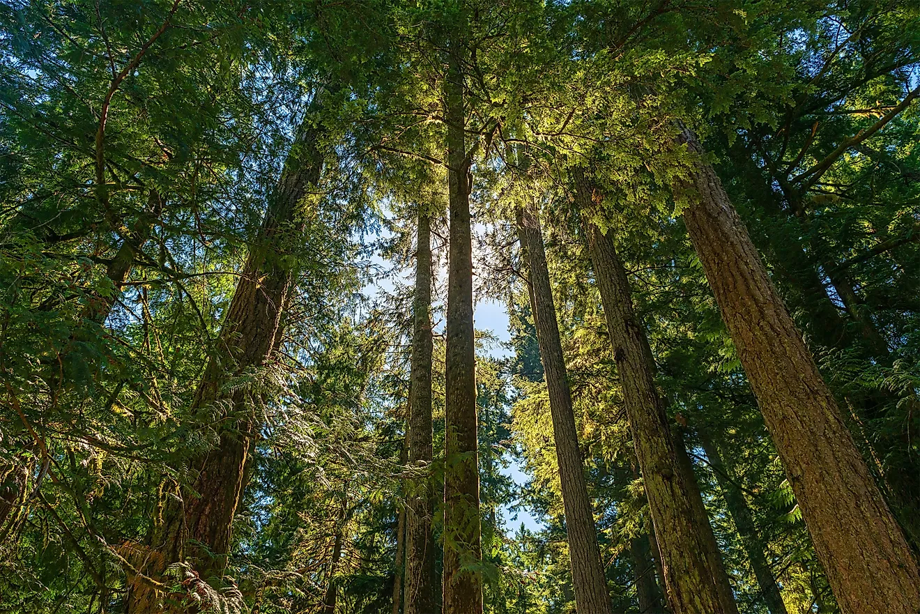
South of Salisbury, traffic quickly gives way to open countryside. Stone fences edge fields that farmers still cut for hay each summer, while Mount Kearsarge gradually grows larger through gaps in the trees. Unlike many scenic drives that rely on dramatic overlooks every few miles, the Currier & Ives Scenic Byway builds its appeal gradually. Barns replace shopping centers, and church spires appear above the maples. Every bend in the road reveals another stretch of farmland that has remained in agricultural use for generations.

A few miles farther south, Webster sits beside the Blackwater River, one of two waterways that shape much of the byway. During warmer months, paddlers launch kayaks and canoes from nearby access points to float downstream beneath wooded banks. Just north of town, the US Army Corps of Engineers manages the Blackwater Dam Recreation Area, where walking trails and picnic areas above the river make an easy stop without a lengthy detour.
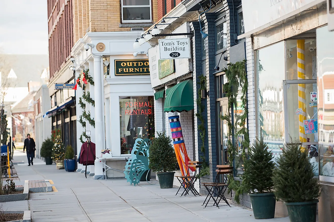
The road reaches Warner less than 20 minutes later, and the pace changes again. East Main Street has remained the center of community life for generations. Independent businesses occupy restored nineteenth-century buildings, giving visitors several reasons to park the car for a while. One stop stands out because few places like it still exist. The New Hampshire Telephone Museum traces more than a century of communication technology through hand-cranked telephones, wooden switchboards, rotary phones, and early cellular devices. Volunteers often demonstrate how the equipment worked, making the museum surprisingly engaging even for visitors who did not expect to spend part of the afternoon learning about telephone history. Warner also hosts one of central New Hampshire's longest-running autumn traditions. Every October, the Warner Fall Foliage Festival fills downtown with local artisans, live music, food vendors, and community events that celebrate the region's harvest season.
Climbing Mount Kearsarge

Leaving downtown Warner, Kearsarge Mountain Road branches away from Route 103 and climbs toward Rollins State Park. The drive itself becomes part of the experience. Forests close in around the pavement before opening onto overlooks where the surrounding hills stretch toward the horizon. The park's seasonal auto road carries visitors almost to Mount Kearsarge's summit. From the parking area, a walk of less than one-half mile reaches the summit fire tower. On clear days, the view extends across Merrimack County toward Ragged Mountain and Mount Sunapee, with the White Mountains showing on the northern horizon. During late September and early October, hardwood forests blanket the hillsides in shades of scarlet and gold, making the overlook one of the area's most popular places to watch the foliage change.
Rollins State Park's auto road generally operates from late May through late October. Outside that window, hikers can still reach the summit from several trailheads around Mount Kearsarge, but drivers cannot continue beyond the park gate. Checking the park's seasonal schedule before arriving helps avoid disappointment, particularly during spring and late fall. Descending from Mount Kearsarge, the byway returns to gentler terrain. The afternoon drive toward Hopkinton trades mountain views for broad river valleys and covered bridges, with village main streets that remain the center of daily life.
Day Two: Hopkinton, Contoocook, and Henniker

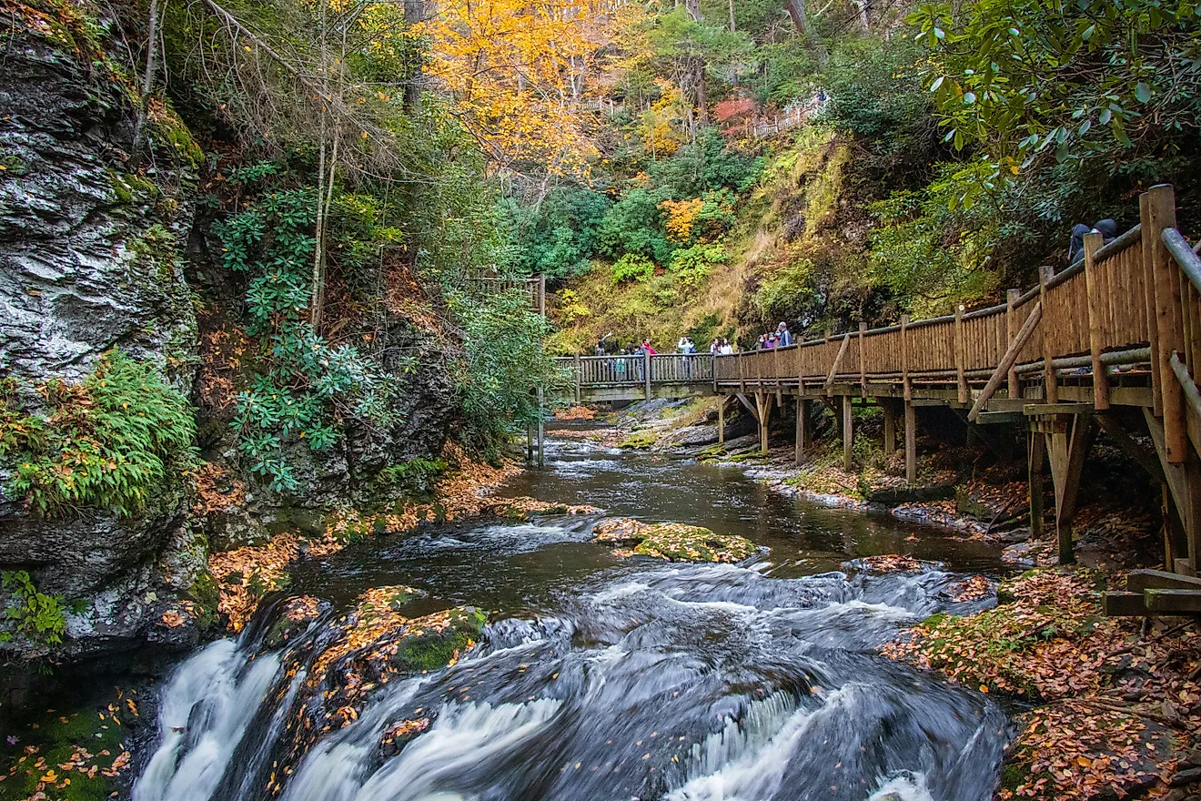
The western half of the Currier & Ives Scenic Byway follows the Contoocook River, a waterway that has shaped the communities along its banks for more than two centuries. Mills once relied on its current for power. Today, the river draws anglers, kayakers, canoeists, and photographers instead. Contoocook Village, the commercial center of Hopkinton, is one of the route's most recognizable stops. The village is home to the Contoocook Railroad Covered Bridge, rebuilt in 1889 on the granite abutments of an 1850 span for the Concord and Claremont Railroad. It is widely recognized as the oldest surviving covered railroad bridge in the United States. Walking through the bridge takes only a few minutes, but the view across the river toward the village makes it one of the byway's signature photographs. The bridge also sits within easy walking distance of cafés and small businesses, making Contoocook a good place to pause for lunch.
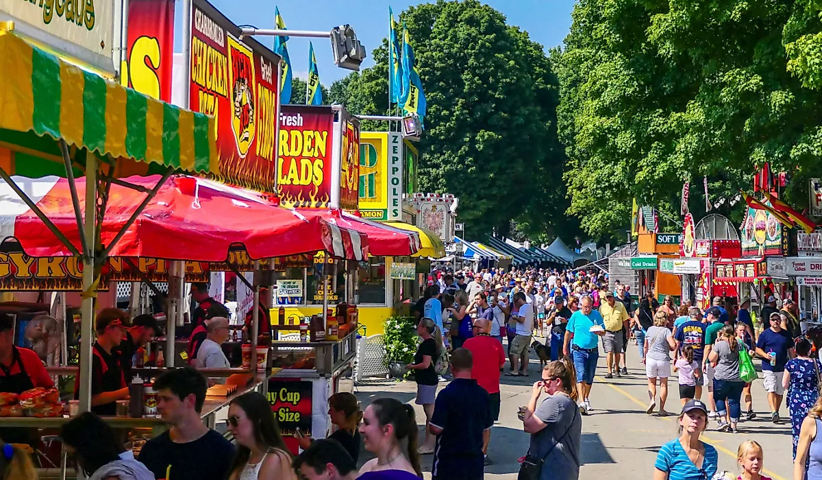
Hopkinton itself has played an important role in New Hampshire's history. Before Concord was settled on as the permanent capital, Hopkinton hosted sessions of the state legislature between 1798 and 1807. Agriculture remains an important part of the local economy, and that tradition comes into focus every Labor Day weekend when the Hopkinton State Fair returns with livestock exhibitions, agricultural competitions, rides, and food vendors. The fair has welcomed generations of New Hampshire families and continues to rank among the state's largest agricultural events.

From Hopkinton, the byway heads southwest toward Henniker, crossing farmland where old stone walls still trace property lines established centuries ago. The scenery changes gradually rather than dramatically, which is part of the route's appeal. Church steeples appear above the tree lines, and weathered barns stand beside hayfields. Mount Kearsarge remains visible in the distance for much of the drive.
Henniker often surprises first-time visitors. The town promotes itself as "the only Henniker on Earth," a claim supported by the fact that no other incorporated community shares its name. The Contoocook River runs directly through downtown, where the water once powered textile mills and other industries that helped the town grow during the nineteenth century. Today, the river supports a different kind of activity. Scheduled water releases create conditions for whitewater kayaking, while calmer days attract paddlers looking for a leisurely trip downstream.
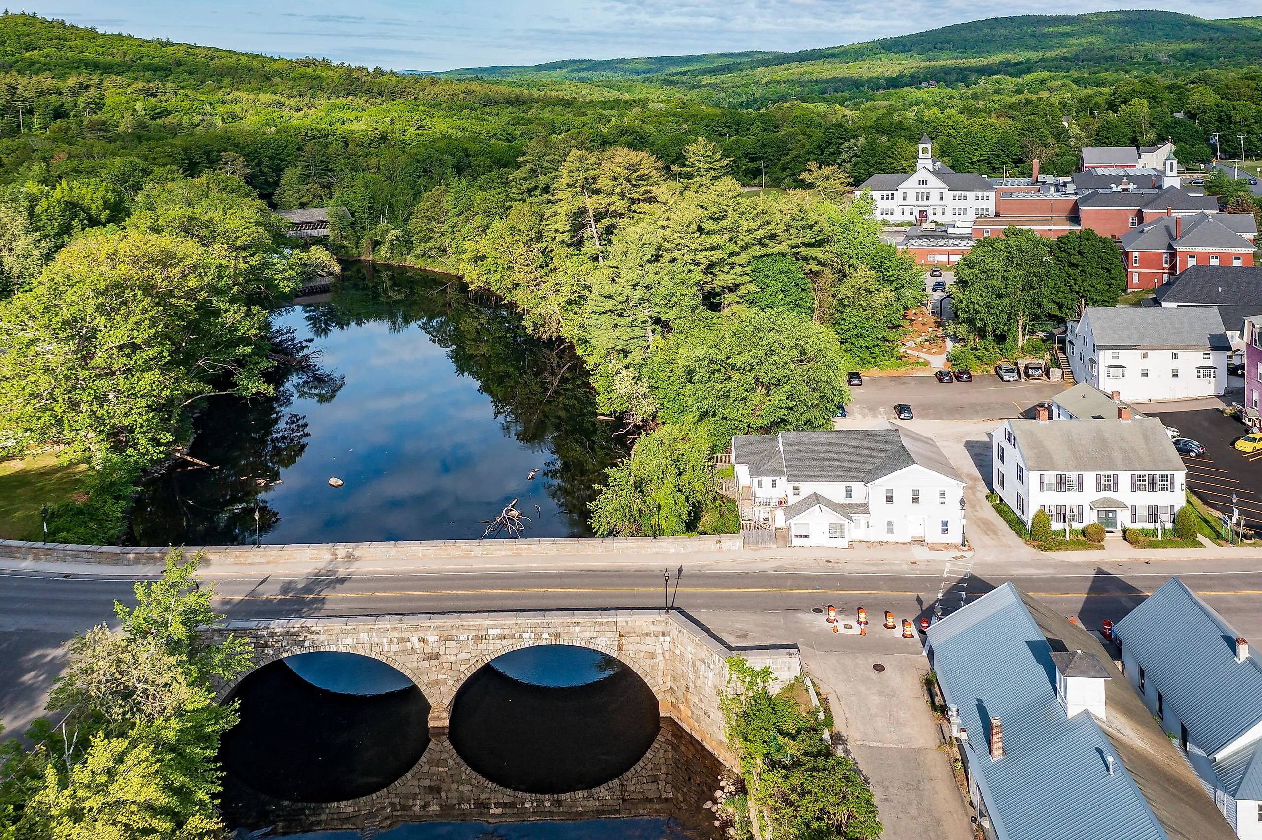
A short walk through downtown passes the Edna Dean Proctor Bridge, a granite bridge completed in 1835 that still carries traffic across the river. Nearby, New England College brings students, art exhibitions, lectures, and athletic events to the community throughout the academic year. Just outside town, Pats Peak operates as a ski area during the winter and hosts mountain biking races and festivals during the warmer months.
Orchards, Farm Stands, and the Road Between the Towns

The towns receive most of the attention, but the stretches between them define the Currier & Ives Scenic Byway just as much. Working farms continue to shape much of Merrimack County. Hayfields separate the wooded hillsides, and sugar maples line many of the back roads. Dairy farms remain active across the county. During late summer and fall, roadside farm stands begin selling sweet corn, tomatoes, pumpkins, apples, maple syrup, and baked goods made with local ingredients.
Apple season gives the route an even more tangible appeal. Instead of driving straight through, many visitors stop to fill a bag at a pick-your-own orchard before continuing to the next community. Fresh cider and warm apple cider doughnuts have become part of the experience almost as much as the scenery itself. The New Hampshire Scenic and Cultural Byways program identifies orchards and farm stands as defining elements of the corridor.
A Worthwhile Side Trip

The Currier & Ives Scenic Byway officially begins near the Daniel Webster Birthplace State Historic Site, but another nationally significant landmark sits a short drive beyond the route. Franklin Pierce Homestead State Historic Site in Hillsborough lies about 14 miles west of Henniker. The restored farmhouse preserves the childhood home of President Franklin Pierce, who became the 14th President of the United States in 1853. Although the homestead is not part of the designated byway, the corridor management plan recommends it as a companion stop because it connects naturally with Daniel Webster's birthplace at the opposite end of the drive. Together, the two sites frame a journey through the lives of two figures who helped shape nineteenth-century America.
When to Plan the Drive

The Currier & Ives Scenic Byway changes noticeably with the seasons. Spring brings fast-moving rivers and flowering trees. Summer is the busiest season for paddling, hiking, farmers markets, and community festivals. Rollins State Park's scenic auto road is also open during this period. Autumn remains the most popular time to visit. Hardwood forests surrounding Mount Kearsarge turn red and orange, while orchards across Merrimack County reach peak harvest. Warner's Fall Foliage Festival is another reason to spend time along the route during October. Winter covers the fields and village greens with snow, and Pats Peak welcomes skiers from across southern New Hampshire. The byway itself stays open because it follows public roads, although heavy snow can slow travel and temporarily affect conditions. Rollins State Park's auto road closes for the winter season. Checking state road conditions before leaving remains a good practice after major storms.
Forty Miles That Tell a Bigger Story
Some scenic drives impress visitors with dramatic mountain passes or sweeping ocean views. The Currier & Ives Scenic Byway takes a different approach. Its appeal comes from details like the covered railroad bridge in Contoocook, the fire tower atop Mount Kearsarge, the hayfields separated by centuries-old stone walls, and villages where church steeples still dot the skyline.
Driving the entire route takes only a few hours. Spending two days along the byway reveals much more. One stop leads to another, whether it is climbing the final steps to Mount Kearsarge's summit, walking through Daniel Webster's birthplace, or pulling over for fresh cider during apple season. Those experiences, more than the mileage, explain why the Currier & Ives Scenic Byway remains one of New Hampshire's most rewarding road trips.