This Mississippi Scenic Byway Is The Road Trip Of A Lifetime
People have been traveling the Natchez Trace for something like 10,000 years, and the modern parkway lets you follow their footsteps at 50 miles an hour. The road runs 444 miles from Natchez, Mississippi, up to just outside Nashville, and the Mississippi stretch alone covers roughly 308 of them. What makes it more than a pretty drive is who you meet along the way, told in the order the road tells it: the mound builders who raised earthen temples, the Natchez people the town takes its name from, the settlers and traders who wore a footpath into the dirt, and, near the end, a boy born in a two-room house in Tupelo who grew up to be the King of Rock and Roll. Give it three unhurried days. One practical note before you set out: short sections can close after storms, and winters here turn cold enough to ice the pavement, so check conditions if you drive between December and February.
Day 1: Where the River, the Mounds, and the Old Trace Meet

Start in Natchez, right on the Louisiana line, where the town sits on bluffs above the Mississippi River. This is the oldest continuous settlement on the river, older than the state of Mississippi itself, and a morning here sets up everything that follows. At the Grand Village of the Natchez Indians you can walk the ceremonial heart of the Natchez people, the last group in the region to keep the old Mississippian way of life going when French colonists arrived in the early 1700s. A few blocks away, Natchez National Historical Park picks up the next chapter, the cotton fortunes and the enslaved labor those fortunes were built on. It is a lot to absorb, so break for a plate of fried Southern comfort food downtown before you point the car north.
Ten miles up the parkway, pull off at Emerald Mound, and give yourself a minute to take in the scale of it. This is the second-largest ceremonial mound in the entire country, behind only Monks Mound at Cahokia in Illinois. Workers of the Plaquemine culture, ancestors of the Natchez, raised it around a natural hill between roughly 1250 and 1600, moving eight acres of earth by hand into a flat-topped platform that once held temples. A short trail climbs to the top. From up there, the meadows and woods stretch out in every direction, and the effort behind the thing starts to sink in.

The afternoon is the stretch most drivers remember best. You will walk a shaded stretch of the Sunken Trace near Port Gibson, a hollow worn several feet deep into the loess soil by generations of feet and hooves. Nearby stand the Windsor Ruins, a colonnade of Corinthian columns left standing after the mansion behind them burned in 1890. Wind up the day around mile 55 at Rocky Springs, once a working town of some 2,600 people that emptied out over the decades and now sits quiet in the woods, with picnic tables and restrooms for a rest.

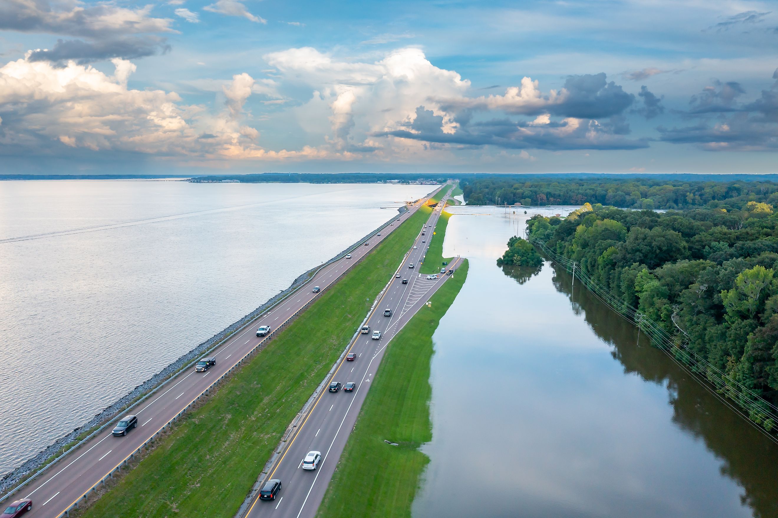
Roll into Ridgeland by evening, where the parkway skirts the Ross Barnett Reservoir. Old Trace Park and the overlook a few minutes north both look out over the water, an easy place to unwind. Have dinner on the waterfront and turn in at one of the hotels clustered around Ridgeland and Jackson, the state capital just to the south.
Day 2: A College Church, a Pioneer Village, and the Road to Tupelo

Kosciusko makes a good mid-morning stop on day two, an old town whose First Presbyterian Church is worth a look for its Romanesque lines and stained glass. It is also the birthplace of Oprah Winfrey, which the town is happy to tell you about. From there the route bends toward French Camp, a tiny village grown up around a boarding school founded in 1885. The Log Cabin here is a fine place to pick up a handmade gift, and the Colonel James Drane House next door shows how a family lived in the 1840s. Depending on the year, roadwork can send you around this stretch on MS-12, so keep an eye on the signs.
Back on the parkway, the miles roll by through hardwood forest. Jeff Busby, around mile 193, is one of the few developed campgrounds on the route and a good place to stretch your legs on a short hike up to Little Mountain, one of the higher points in the state. Farther north, Bynum Mounds offers another look at the region's mound-building past, a reminder that the whole road is layered with it. Then the trees open up and you arrive in Tupelo, the parkway's headquarters, where the visitor center is worth a stop for maps and a sense of what lies ahead in the morning. Book a room near downtown and have a proper sit-down dinner at one of the town's long-standing restaurants.
Day 3: Tupelo's Favorite Son and the Hill Country Beyond

Elvis Presley was born in Tupelo on January 8, 1935, in a two-room house his father built for $180, and the third day belongs to him. The house still stands on its original spot, restored and furnished the way it would have looked, at the center of a 15-acre park that now includes a museum, the "Elvis at 13" statue, and the little church where he first heard gospel music. The family left for Memphis when he was 13, but the shy kid with the cheap guitar started here, and standing in those two small rooms tells you more about where the music came from than any mansion could. After the birthplace, stop at the Oren Dunn City Museum at Ballard Park for the rest of Tupelo's story, its farm roots, its Civil War history, and its deep musical bloodline.
North of town the landscape starts to change. Around mile 286 you pass Pharr Mounds, a group of eight burial mounds spread across 90 acres, the largest such site on the whole parkway. Not long after, the flat farmland gives way to rock and ravine at the edge of Tishomingo State Park, out on the far southwestern foothills of the Appalachian Mountains. The park's sandstone bluffs and fern-filled creek beds look like nowhere else in Mississippi, though it is worth checking ahead, since the park took heavy damage in the January 2026 ice storm and has kept limited hours since. The Mississippi leg ends at Bear Creek Mound, mile 308, one last earthen marker before the Alabama line.

The Drive That Keeps Going
From Bear Creek Mound you have a choice. You can cross into Alabama and chase the last 130-odd miles toward Nashville, or you can turn the car around and drive the whole thing back, catching the overlooks you missed the first time. Either way, three days on the Mississippi Trace add up to a single long story told in earth and stone and song, from the mound builders at Emerald to the settlers who sank the old path into the hills to a boy in Tupelo who changed American music. Very few roads let you trace 10,000 years of people from behind the wheel, with a plate of good Southern cooking never more than a few miles off. This one does.