This Maryland Scenic Byway Is The Road Trip Of A Lifetime
Maryland may be compact, but its Eastern Shore has enough roads and waterways to fill a serious road trip with small towns set amid miles of open countryside. The Chesapeake Country Scenic Byway runs across these landscapes for 419 land miles, with its northern gateway at Chesapeake City and its southern road terminus at Crisfield. Along the way, the route passes farms and tidal rivers, waterfront communities, and wildlife refuges. The official byway continues another 12 nautical miles by boat to Smith Island. Designated an All-American Road by the Federal Highway Administration in 2021, it is one of the country's nationally recognized scenic drives.
Plan Before You Go

The Federal Highway Administration officially lists the Chesapeake Country Scenic Byway as an All-American Road, the highest tier in the America's Byways program. Rather than one continuous 419-mile highway, the byway is a network made up of a main route, branches, and sidetracks across Maryland's Eastern Shore.
The driving route itself has no regular seasonal shutdown. Most of it follows public highways and local roads that remain in use throughout the year, although storms, flooding, or other conditions can cause temporary closures. Individual attractions are a different matter. The Oxford-Bellevue Ferry normally operates from April through November, while some museums and boat excursions have shorter seasons. Travelers heading to Smith Island should confirm boat schedules before setting out.
Day 1: Chesapeake City to Chestertown - The Upper Shore

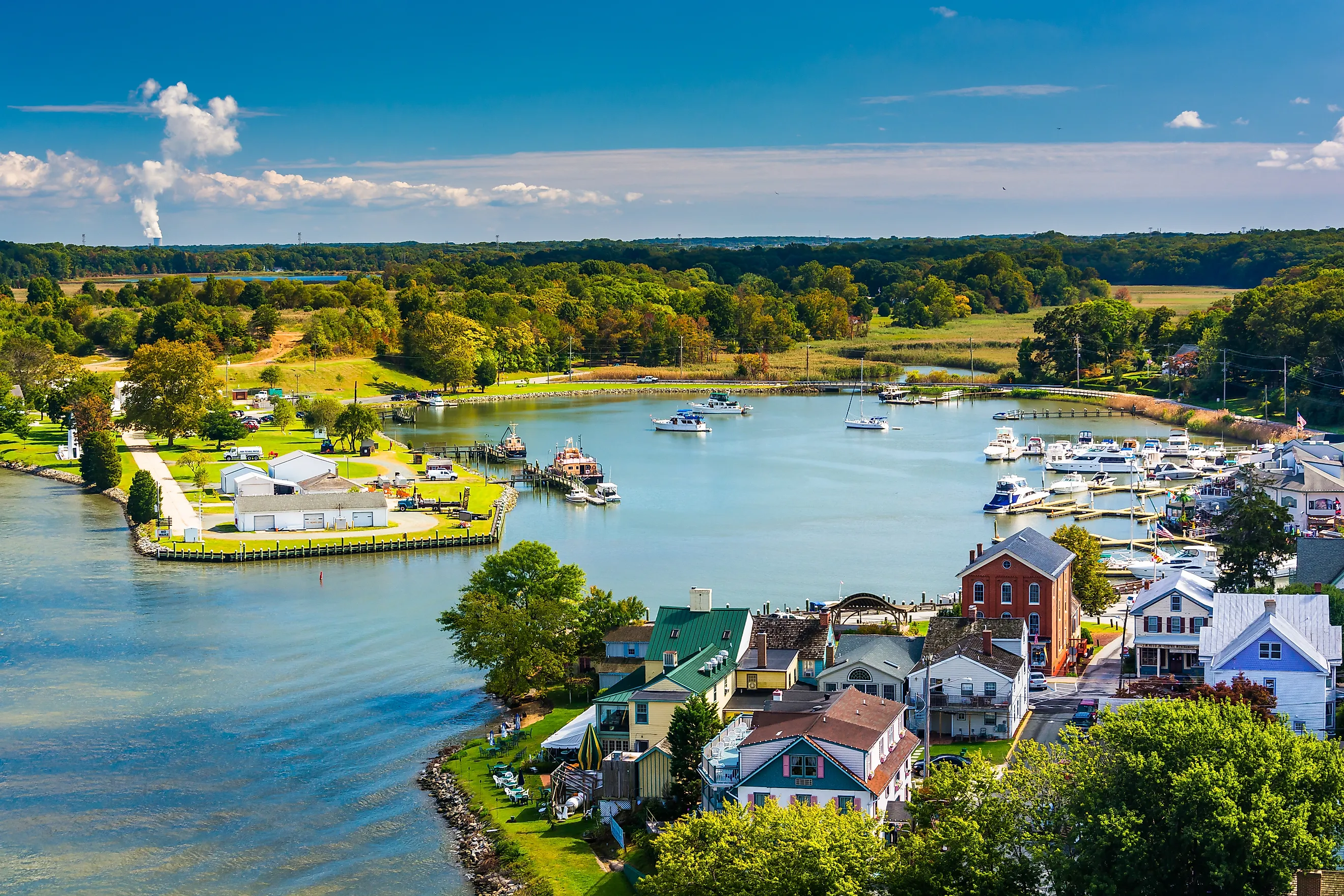
The Chesapeake Country Scenic Byway begins in Chesapeake City beside the Chesapeake & Delaware Canal. The 14-mile canal connects the Delaware River with the Chesapeake Bay, cutting directly through town. Before beginning the drive, walk the waterfront or follow part of the Ben Cardin C&D Canal Trail, which runs beside the water toward Delaware. The C&D Canal Museum has exhibits on the engineering and history behind the busy shipping channel. Head south on MD 213 through Cecilton and the surrounding agricultural landscape. The route soon becomes noticeably rural as fields replace the canal scenery.
One possible side trip leads toward Crystal Beach at the mouth of the Elk River, a quiet Upper Chesapeake beach used for swimming during the warmer months. Another worthwhile detour is Mount Harmon Plantation near the Sassafras River. The preserved property covers about 200 acres and includes an 18th-century manor, gardens, and waterfront nature trails.
Back on MD 213, continue through Fredericktown before crossing the Sassafras River into Georgetown. Galena lies just beyond, surrounded by working farmland. The final leg leads into Chestertown, established as a Maryland port and county seat in 1706. The town's historic district contains one of the state's largest collections of surviving buildings from the colonial period.
Day 2: Chestertown to Cambridge - The Mid-Shore

Leave Chestertown on MD 213, crossing the Chester River and continuing south into Queen Anne's County. Open farmland stretches along much of the road toward Church Hill and Centreville, broken occasionally by woods and small communities. Much of the Eastern Shore's agricultural character survives here, with flat roads and broad views across fields. Continue toward Easton, one of the larger towns along this portion of the byway. Just outside town, Pickering Creek Audubon Center covers more than 400 acres along a tributary of the Wye River. The viewing platforms are especially useful for spotting waterfowl and other birds without adding a lengthy hike to the road trip.
The byway's St. Michaels branch leads about 15 miles west of Easton. St. Michaels sits along the Miles River and is one of the strongest maritime stops on the entire route. The Chesapeake Bay Maritime Museum sits on an 18-acre waterfront campus, with historic boats and working boatyard exhibits devoted to life on the Bay.
Travelers with more time can continue toward Tilghman Island. Another option during the operating season is to work the Oxford-Bellevue Ferry into the route. The ferry crossing over the Tred Avon River dates to the colonial era, and the service normally runs between April and November. Outside those months, Oxford can still be reached by road. Return toward the main byway and continue to Cambridge, crossing the broad Choptank River before entering town.
Day 3: Cambridge to Crisfield - The Lower Shore

Before leaving Cambridge, take the byway branch south toward Blackwater National Wildlife Refuge, home to more than 20,000 acres open for public recreation. Its 3.6-mile Wildlife Drive is especially well suited to a road trip. After Blackwater, return toward Cambridge and continue along the byway toward Vienna on the Nanticoke River. A worthwhile stop west of the city is Pemberton Historical Park, a 262-acre property along the Wicomico River. Trails wind through the surrounding landscape, and at its center is Pemberton Hall, a brick house built in 1741 on what was once a working plantation.
Continue south through Somerset County toward Princess Anne. Travelers who still have daylight can take the branch west on MD 363 toward Deal Island Wildlife Management Area. The roughly 13,000-acre property is dominated by tidal marsh and a large man-made impoundment. Maryland's Department of Natural Resources considers it one of the state's best places for seeing waterfowl, particularly during migration and winter. Return to the main route and follow the road south toward Crisfield. The final stretch again passes farmland before Tangier Sound appears at the edge of town.
Crisfield is where the road portion of the Chesapeake Country Scenic Byway ends. The city's identity has long been tied to the Chesapeake seafood industry, and its working waterfront is the natural place to finish the drive. Nearby Janes Island State Park is another option for travelers who want one last look at the marshes before ending the trip.
Optional Addition: Smith Island

Smith Island sits about 12 nautical miles offshore and is Maryland's only inhabited offshore island. It's a worthy addition for earnest roadtrippers. Passenger boats operate between Crisfield and the island, while seasonal sightseeing cruises also leave Somers Cove Marina. Schedules can change with weather and season, so this is one part of the trip that should be confirmed in advance.
Smith Island has three communities: Ewell, Rhodes Point, and Tylerton. Ewell is the main arrival point for many visitors and is home to the Smith Island Cultural Center, with exhibits on the history of the island's watermen and communities. Ewell and Rhodes Point are linked by road, while Tylerton is separated by water and can be reached by boat.
Much of the northern half of Smith Island belongs to Martin National Wildlife Refuge. The refuge covers more than 4,500 acres of tidal marsh and other habitat. It is closed to direct public access to protect the wetlands, although its landscape can be viewed from boats around the island. No visit is complete without trying the local delicacy. Smith Island Cake, traditionally made with numerous thin layers, became Maryland's official state dessert in 2008 and remains one of the island's best-known traditions.
Exploring Maryland's Eastern Shore
For a state with relatively little geographic distance between its borders, there is an unusual amount of variety along this drive. One hour might be spent beside a working canal, while the next passes through farmland with little traffic. Later, the road reaches tidal marshes where water seems to occupy as much of the landscape as land.
The 419-mile designation leaves plenty of room for detours, so no single itinerary needs to cover every official branch. Three days provide a strong introduction to the route, while Smith Island makes a natural fourth-day addition. The road itself remains usable throughout the year, though the widest selection of ferries and historic attractions runs from spring through fall.