8 Great Road Trips to Take on the Gulf Coast
The Gulf Coast is best seen slowly. Some roads stay close enough to the water for nearly continuous views, while others wander through marsh country, pine forest, fishing communities, and barrier islands before reaching the beach again. The eight routes below stretch across all five Gulf states and include several officially designated scenic byways. A few can be driven comfortably in a day, but most are better with an overnight stop or two, especially where ferries, wildlife refuges, historic districts, and state parks give travelers a reason to stop.
Big Bend Scenic Byway, Florida

Florida's 220-mile Big Bend Scenic Byway crosses Franklin, Wakulla, and Leon counties through two connected sections known as the Coastal Trail and Forest Trail. Along the coast, US 98 passes Carrabelle, Eastpoint, Apalachicola Bay, and broad stretches of salt marsh before turning inland toward Apalachicola National Forest. It is one of the least developed long-distance drives on Florida's Gulf side.
Apalachicola is the obvious place to stop for a walk, with a historic downtown shaped by the town's old shipping and seafood industries. Eastpoint leads to the bridge for St. George Island, where beaches and dunes occupy a narrow barrier island facing the Gulf. Farther east, the road into St. Marks National Wildlife Refuge runs through ponds and coastal marsh before ending near the 19th-century St. Marks Lighthouse. The inland sections feel completely different, with pine forest, rivers, and quiet two-lane roads replacing the open coast.
Lemon Bay/Myakka Trail Scenic Highway, Florida

The 47-mile Lemon Bay/Myakka Trail Scenic Highway stays around Englewood, Lemon Bay, Myakka State Forest, and the Cape Haze peninsula. It is a compact drive, but the scenery shifts quickly between wooded inland roads, bayfront neighborhoods, mangroves, and Gulf beaches. Myakka State Forest has miles of hiking, cycling, and equestrian trails a short distance off the route.
In Englewood, Dearborn Street runs through the older part of town and has restaurants, galleries, shops, and historic buildings within a short walk. From there, side roads reach Manasota Key, where public beaches face the Gulf. Continuing south toward Cape Haze puts Boca Grande within reach for travelers who want to extend the trip. Gasparilla Island's southern end holds the historic Port Boca Grande Lighthouse, built in 1890 and now part of Gasparilla Island State Park.
Alabama's Coastal Connection

Alabama's Coastal Connection runs 130 miles around Mobile Bay and along the state's narrow Gulf shoreline. A strong version of the drive begins south of Mobile, heads toward Dauphin Island, and then uses the Mobile Bay Ferry to reach the Fort Morgan peninsula when ferry service is running. Fort Gaines stands near the eastern end of Dauphin Island, directly across the bay entrance from Fort Morgan.
The island also has the Dauphin Island Audubon Sanctuary, where trails pass through maritime forest, wetlands, dunes, and beach habitat used by migrating birds. After the ferry crossing, Fort Morgan Road runs east toward Gulf Shores. Bon Secour National Wildlife Refuge sits along this stretch, one of the last pieces of undeveloped coastal habitat left in Alabama.
Closer to Gulf Shores and Orange Beach, Gulf State Park has lakes, paved trails, campgrounds, and beach access. The route can also be expanded around Weeks Bay and the eastern shore of Mobile Bay for travelers with another day.
Highway 90 Across Coastal Mississippi

US Highway 90 stays remarkably close to Mississippi Sound for much of the drive between Bay St. Louis and Ocean Springs. Start in Bay St. Louis, continue through Pass Christian, Long Beach, Gulfport, and Biloxi, then cross the Biloxi Bay Bridge. Mississippi's officially designated Gulf Coast Scenic Byway takes in only part of this stretch, but the full Highway 90 drive stays with the coast far longer.
Bay St. Louis has a compact Old Town near the water, followed east by long beachfront sections through Pass Christian and Long Beach. In Biloxi, the 1848 Biloxi Lighthouse stands in the median of Highway 90 opposite the beach. The highway then rises onto the Biloxi Bay Bridge before dropping into Ocean Springs. Downtown Ocean Springs is only a short distance from the waterfront and is easy to explore on foot, especially around Washington Avenue, where shops, restaurants, and galleries occupy the older commercial blocks.
Wetlands Cultural Trail, Louisiana

Louisiana's 282-mile Wetlands Cultural Trail branches south from the Thibodaux and Houma areas through Lafourche and Terrebonne parishes. It is not a single continuous road. Instead, several highways follow bayous toward the coast, passing communities closely tied to commercial fishing, shipbuilding, offshore energy, and wetland agriculture.
Highway 1 follows Bayou Lafourche through towns including Raceland, Lockport, Larose, and Golden Meadow before continuing toward Port Fourchon. Grand Isle can be added by staying on the route toward the Gulf. East of there, roads leaving Houma follow Bayou Petit Caillou and Bayou Terrebonne into increasingly open marsh. The Chauvin Sculpture Garden sits beside Bayou Petit Caillou and contains more than 100 concrete figures created by Kenny Hill.
At Cocodrie, the Louisiana Universities Marine Consortium operates its coastal research center at the end of Highway 56. By that point, open marsh and water stretch away on both sides of the road, with homes and docks concentrated along the narrow strips of higher ground.
Creole Nature Trail All-American Road, Louisiana

The Creole Nature Trail runs 207 miles through southwest Louisiana, reaching some of the state's broadest coastal marshes. From the Sulphur area, Highway 27 heads south into Cameron Parish. Buildings thin out quickly, and long sections of road cross prairie and wetland with few towns in between.
Cameron Prairie National Wildlife Refuge is a key stop, particularly the Pintail Wildlife Drive, where visitors can see waterbirds and alligators without leaving the car. Near the Gulf, Highway 82 reaches Holly Beach before continuing across the lower part of the parish. The full byway includes about 26 miles of natural Gulf beach.
Rockefeller Wildlife Refuge lies farther east. Price Lake Road extends four miles into the marsh but closes seasonally from December 1 through March 1 for migrating waterfowl. Sabine National Wildlife Refuge lies along another section of the route, a vast area of marsh, chenier ridges, ponds, and open water.
High Island, Bolivar Peninsula, and Galveston, Texas

High Island is a good northern starting point for a drive down the Bolivar Peninsula because the area is one of the Upper Texas Coast's major birding sites. Houston Audubon manages several sanctuaries here, including Boy Scout Woods and Smith Oaks. During spring migration, birds arriving across the Gulf often stop in the wooded habitat around the town.
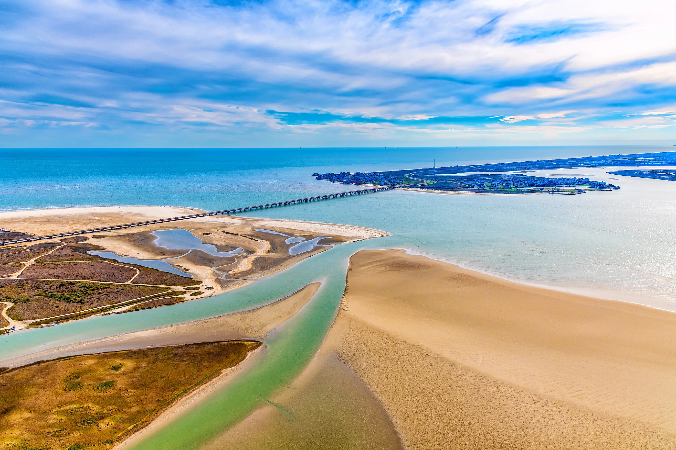
State Highway 87 then runs southwest through Gilchrist and Crystal Beach toward Port Bolivar. Much of the route stays close to the Gulf, with beach access points appearing along the peninsula. Near its western end, Bolivar Flats Shorebird Sanctuary takes in tidal flats where large numbers of gulls, terns, plovers, and other coastal birds gather.
At Port Bolivar, vehicles board the Galveston-Port Bolivar Ferry. TxDOT operates the crossing 24 hours a day, weather permitting, and the trip across the 2.7-mile channel usually takes about 18 minutes. On Galveston Island, the road continues toward the Seawall and the Strand Historic District.
Corpus Christi, Mustang Island, Port Aransas, and Rockport, Texas

State Highway 361 connects several of the most enjoyable stops on the Texas Coastal Bend. From Corpus Christi, the road reaches the barrier islands and turns north along Mustang Island. Mustang Island State Park has more than five miles of Gulf beach, along with camping areas, paddling access, and bayside habitat.
The highway continues into Port Aransas, where the Leonabelle Turnbull Birding Center has a boardwalk overlooking freshwater wetlands. A few minutes farther north, the road ends at the Port Aransas ferry landing. The free TxDOT ferry carries vehicles across the Corpus Christi Channel to Aransas Pass, with the actual crossing usually taking less than 10 minutes. Summer traffic can add a much longer wait.
From Aransas Pass, the drive turns north toward Rockport and Fulton along Aransas Bay. Rockport's harbor and downtown sit close together, with coastal preserves along the water almost to the end of the drive.
Planning the Drive
The eight routes divide neatly by pace. The Florida byways and the two Texas island drives reward a single unhurried day, while the Alabama, Mississippi, and Louisiana routes stretch far enough that an overnight turns a long haul into an easy one. Ferries shape the Alabama and Texas trips more than mileage does, since the Mobile Bay and Port Bolivar crossings run on their own schedules and can back up in summer. Wherever the marsh takes over from the beach, the wildlife refuges become the real destinations, and the drive slows to match them.