8 Great Road Trips to Take in Oklahoma
The best road trips in Oklahoma take an afternoon at most, and they change character completely between the panhandle and the Osage Hills. OK 325 climbs west out of Boise City toward Kenton and the highest ground in the state, passing a replica Brontosaurus femur set on a roadside pedestal. Farther east, US 64 crosses a bare, white flat where diggers pull hourglass selenite crystals from the salt in season. US 60 follows the Osage Nation Heritage Trail past Pawhuska and a bison herd that goes back to 1926, and US 377 leaves the old Chickasaw capital at Tishomingo for a stretch of Lake Texoma that fills with geese every fall. The eight drives below are arranged west to east, each one with plenty of only-in-Oklahoma pit stops along the way.
OK 325 Out to Black Mesa

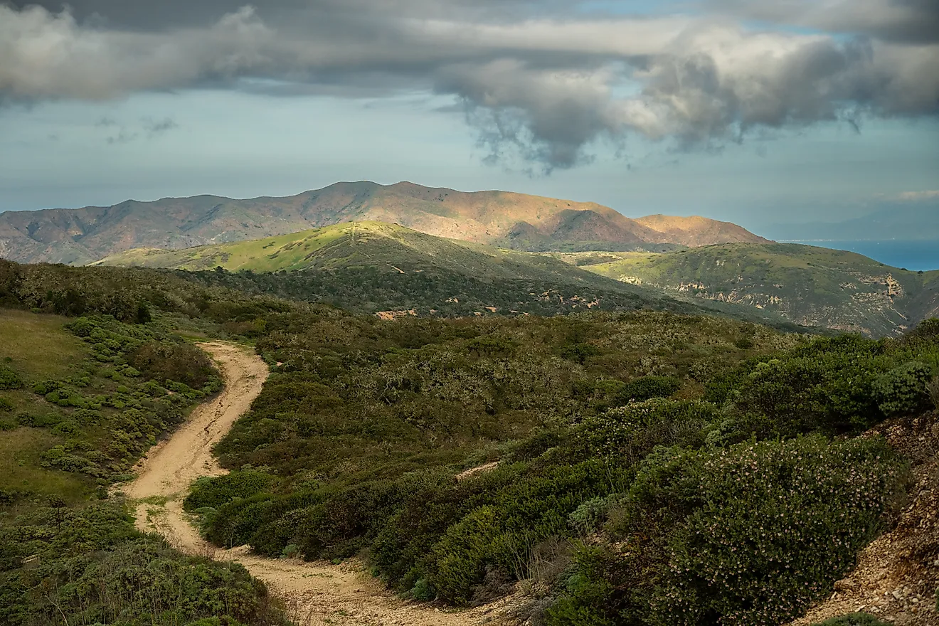
OK 325 climbs west out of Boise City and reaches Kenton 36 miles later, about 37 minutes behind the wheel. Black Mesa rises ahead of the road, a flat-topped shortgrass landmark capped by lava roughly three to five million years old, and its high point at 4,973 feet is the highest ground in Oklahoma. East of Kenton, a replica Brontosaurus femur stands on a pedestal along the highway outside a dinosaur quarry.
About 35 miles out, a blacktop road marked Colorado leaves the highway northward, and the parking area for Black Mesa Nature Preserve sits five miles up. The preserve is open from dawn until dusk, with a restroom at the trailhead and no camping within its boundaries. The walk to the top and back takes at least four hours. Black Mesa State Park lies another 15 miles on, beside Lake Carl Etling, where the state prohibits water sports on the 159 surface acres. The two units sit far enough apart that the highway becomes part of the destination.
US 64 and OK 50 Through the Gypsum Hills

Gypsum country opens south of Freedom along US 64, 33 miles east of Buffalo, for a little over half an hour's drive. OK 50 drops six miles down from the town, and a half mile east on OK 50A brings the gate at Alabaster Caverns State Park, which the state calls the only gypsum show cave in the United States. Guided tours leave on the hour between 9 am and 4 pm, capped at 40 people, and the park itself opens 8 am to 4:30 pm. Four other caves are maintained for wild caving by permit, 550 to 1,600 feet long, though the park issues none of those permits between October 1 and March 31 while the bats hibernate.
Past the caverns, OK 50 continues south to Mooreland. US 412 turns west there for Woodward, 35 miles and 35 minutes out from Freedom. Boiling Springs State Park lies one mile north of that town on OK 34, then five miles east on OK 34C, where the spring that gives it its name still flows beneath a wooden shelter below the office.
US 412 Past Gloss Mountain and the Dunes

The next drive picks up just beyond Freedom in the same northwest corner, where US 412 covers the 36 miles between Orienta and Waynoka in about 33 minutes. West of Orienta, Gloss Mountain State Park holds a line of red buttes topped with selenite, which is why the range is also called the Glass Mountains. The buttes rise 150 to 200 feet above the valley floor, and Lone Peak is both the highest of them and the farthest north.
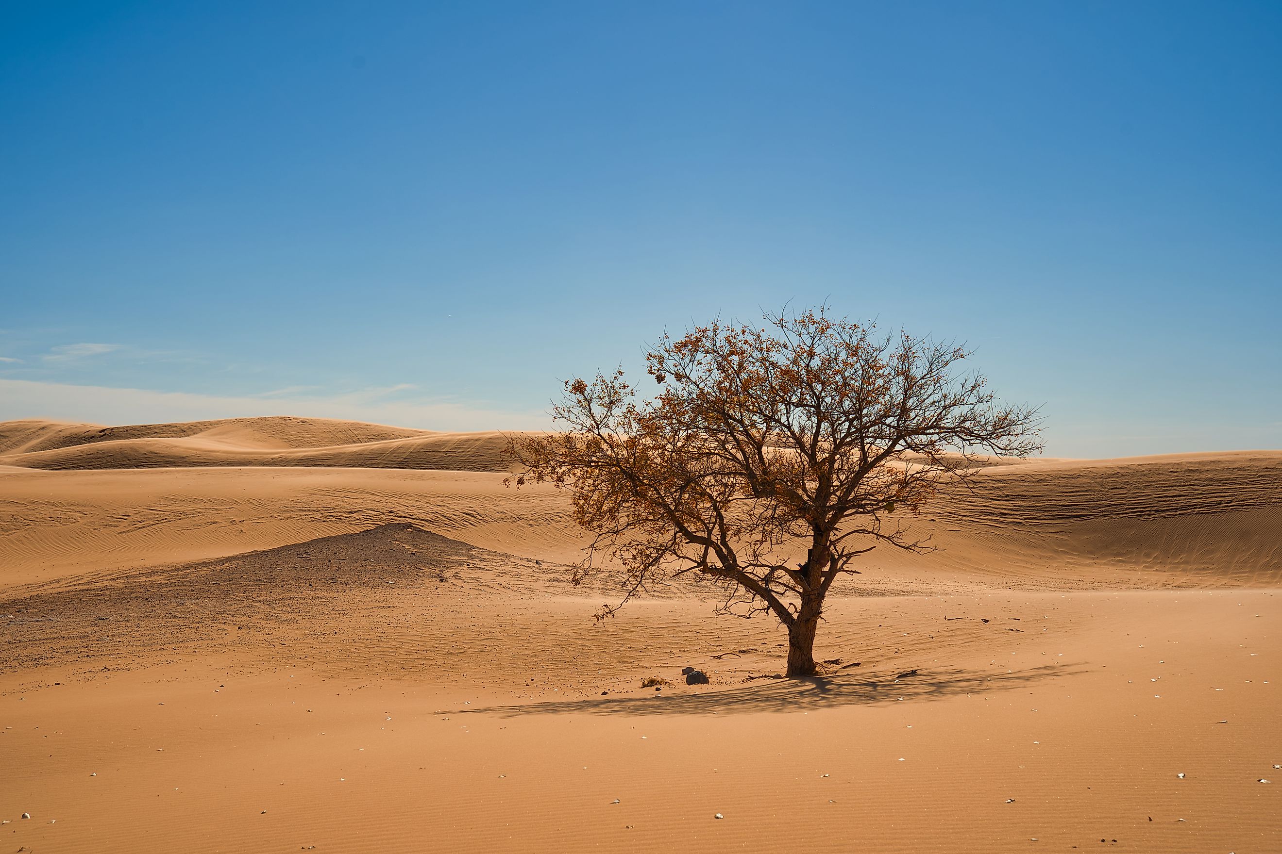
The Cathedral Mountain Trail climbs 1.2 miles to the north rim and back, open daylight hours only, with the rim looking out west over Cheyenne Valley. Restrooms and picnic shelters stand at the base, along with public water. South of Waynoka on US 281, Little Sahara State Park encompasses more than 1,600 acres of dunes 25 to 75 feet high, sand that was carried off the Cimarron River when it still flowed across this whole area. Those dunes have not stopped moving northeast. The Oklahoma Historical Society records that their migration forced US 281 to be rebuilt three times, each new roadbed laid 25 to 50 yards farther east than the one it replaced.
US 64 Across the Salt Plains

Cherokee sits northeast of the Waynoka dunes, and the ground between them changes character, loose sand giving way to salt crust. US 64 covers the 16 miles across to Jet in about 17 minutes. Salt Plains National Wildlife Refuge takes in 32,197 acres along that stretch, roughly 12,000 of them bare salt, and the Fish and Wildlife Service calls this the only place in the world where hourglass selenite crystals can be dug.
The dig season sets the timing. The Selenite Crystal Digging Area opens April 1 through October 15, sunrise to sunset, and is free, with a limit of 10 pounds plus one large cluster per visitor. Two access roads serve it, one six miles west of Jet and the other three miles south of Cherokee, and refuge guidance to diggers is to rinse the salt off the vehicle afterward. Outside the dig season, the flats still repay a stop. The observation tower at the gate stays open year-round, as do five trails and the Harold F. Miller Auto Tour. The Army Air Corps used these same flats as a bombing and gunnery range between 1942 and 1946.
US 60 Along the Osage Nation Heritage Trail

US 60 tracks 69 miles east between Ponca City and Bartlesville, an hour and 10 minutes on a stretch the state has designated the Osage Nation Heritage Trail. The Pioneer Woman Statue marks the Ponca City end, a 17-foot bronze by Bryant Baker, commissioned by oilman and governor E.W. Marland and unveiled in 1930. Its museum carries the theme into its architecture, with an entrance that replicates the sunbonnet shape worn by the women.
Prairie and the Osage Hills fill the middle of the drive, which is what makes the 69 miles an attraction rather than a gap between two towns. Pawhuska comes at the midpoint, where the Osage Nation Museum has stood at 819 Grandview Avenue since 1938. It opens Tuesday through Saturday, with admission and parking free. Nearer Bartlesville, OK 123 turns south for Woolaroc. Frank Phillips assembled its 3,700 acres in 1925, 12 miles southwest of town. Its bison herd goes back to 1926, when 90 animals arrived from South Dakota.
US 377 South from Tishomingo

Tishomingo was the capital of the Chickasaw Nation, and Capitol Square still holds the Chickasaw National Capitol and the Chickasaw Council House Museum next to each other. The pair was added to the National Register on November 5, 1971. Inside the museum, the first Chickasaw Council House survives as a one-room log building. US 377 leaves town southward and covers 21 miles into Marshall County in about 27 minutes.
South of town, the road passes Tishomingo National Wildlife Refuge, a 16,464-acre area on the upper Washita arm of Lake Texoma. The federal government set the land aside in 1946, and more than 290 bird species now use it. Refuge staff plant winter wheat along Wildlife Drive, and snow geese come down by the thousands each fall to feed on it, joined by Ross's and white-fronted geese. Kingston ends the drive at the lake, which leaves a tribal capital and a wintering flyway on one short stretch of highway.
OK 9 and OK 71 Over Eufaula Dam

OK 71 carries traffic over the top of Eufaula Dam, which is why you take the slower road out of town. OK 9 heads east and meets OK 71 at Enterprise, with Porum 31 miles beyond that junction, roughly 34 minutes. Interstate 40 covers the same ground four miles longer and shows none of it. The Army Corps of Engineers completed the dam in 1964 and describes Eufaula Lake as the largest lake entirely within Oklahoma. President Lyndon Johnson dedicated it on September 25 that year, 18 years after Congress authorized the project and 8 years after the first work began. The reservoir fills the Canadian River valley 27 miles above the point where that river joins the Arkansas, and its shoreline alternates sand beaches with rock bluffs. Locally, it goes by the Gentle Giant.
US 60 and OK 28 from Twin Bridges to Pensacola Dam

The Neosho River meets the Spring River at the Twin Bridges Area of Grand Lake State Park, on OK 137 above the head of the lake. Below that junction, the water carries a different name, the Grand. The state lists both lake and river access at this one park, an accident of its location at a confluence. The drive down to Langley from Fairland covers 29 miles in 32 minutes, with Grand Lake o' the Cherokees filling the valley the whole way.
Pensacola Dam closes the lake at the far end, a mile of concrete arches across the Grand River valley holding back 43,500 acres of water. The Grand River Dam Authority built it between December 30, 1938, and March 21, 1940, and it became the state's first hydroelectric plant. It carries 21 floodgates on the main spillway and 21 more on the east spillways. OK 28 crosses the top half a mile east of the OK 82 junction, and anyone 18 or older who wants inside must show a driver's license or state ID at the door.
Eight Oklahoma Drives, No Two Alike
These eight Oklahoma drives are spread between the Cimarron country and the Grand River valley. One offers a guided underground tour at Alabaster Caverns, while another climbs 1.2 miles to the rim of Gloss Mountain above the Cheyenne Valley. Two more cross the top of a working dam, at Eufaula and again on the arches at Pensacola, where anyone heading inside shows ID at the door. The shortest of the eight is over in under 20 minutes, and the longest is barely over an hour.