7 Most Scenic Drives in Massachusetts
Scenic drives in Massachusetts shift quickly in character. Along the Mohawk Trail, Route 2 climbs through tight forest before opening onto expansive Berkshire views within a short stretch of road. In other parts of the state, highways run close to the Atlantic or curve along the edge of the Quabbin Reservoir, with water and elevation shaping the pace of the drive. The routes below focus on roads where terrain and setting matter as much as the destination.
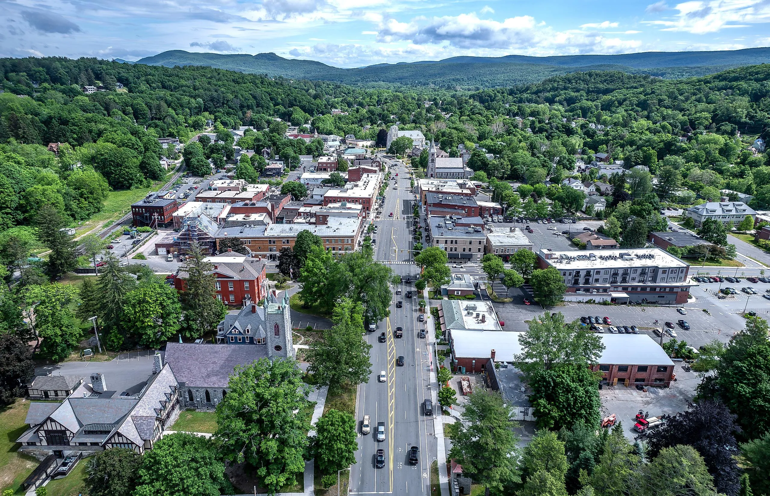
Mohawk Trail Scenic Byway

The drive along Route 2 from Greenfield to North Adams and on to Williamstown is reputed to be among the first auto-touring roads in the country. This scenic route meanders through deep forests, offers dramatic vistas of the Berkshires, and runs parallel to five major rivers: the Millers, Connecticut, Green, Deerfield, and Hoosic. Expect notable changes in elevation and terrain, from lush river valleys to expansive hilltop views. Although the entire drive spans more than 60 miles, the section between Greenfield and Williamstown is about 42 miles. Greenfield’s Museum of Our Industrial Heritage highlights how the town became a hub of the early industrial age. Consider stopping at Shelburne Falls Coffee Roasters for a well-regarded latte. After Florida, as you enter North Adams, the Route 2 Mohawk Trail Overlook features a dramatic hairpin curve, the Hairpin Turn, and panoramic views of the towns below, especially in the fall. In Williamstown, there’s the Williams College Museum of Art, which has a collection of more than 14,000 works.
Old King’s Highway

Route 6A from Bourne to Orleans winds close to the Cape Cod shoreline, a scenic and relaxing stretch that features cranberry bogs, shallow salt marshes, preserved farmland, and classic New England towns with centuries-old architecture. One of the iconic coastal drives in America, Historic Route 6A covers roughly 62 scenic miles from end to end. The section between Bourne and Orleans is significantly shorter, at about 40 miles. Expect gentle terrain with frequent pull-off points for beach walks, eateries overlooking the water, and attractions like the Cape Cod Museum of Natural History in Brewster, which features an aquarium and bird exhibits. For warm breezes and coastal views, the best time is typically late spring through fall.
Essex Coastal Scenic Byway

The Essex Coastal Scenic Byway spans 90 miles from Lynn to Salisbury, passing colonial-era farms, quaint villages, working seaports, and period architecture. You will discover 14 coastal communities and enjoy several recreational opportunities along the way, including hiking, biking, and swimming. The salt marshes along the byway comprise the Great Marsh, reputed to be New England’s largest marsh. Aside from the Great Marsh, which spans more than 20,000 acres and is arguably best viewed at the Old Town Hill in Newbury, drivers have the chance to explore some of New England’s seafaring heritage at the Salem Maritime National Historic Site, which preserves and interprets over 600 years of New England’s maritime history. Expect flat coastal terrain, rocky shoreline views, and calm, soothing breezes, although that typically depends on the day’s weather.
Route 122 Scenic Byway
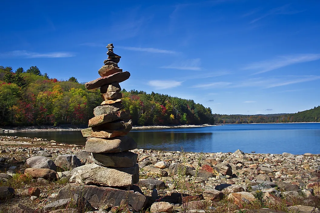
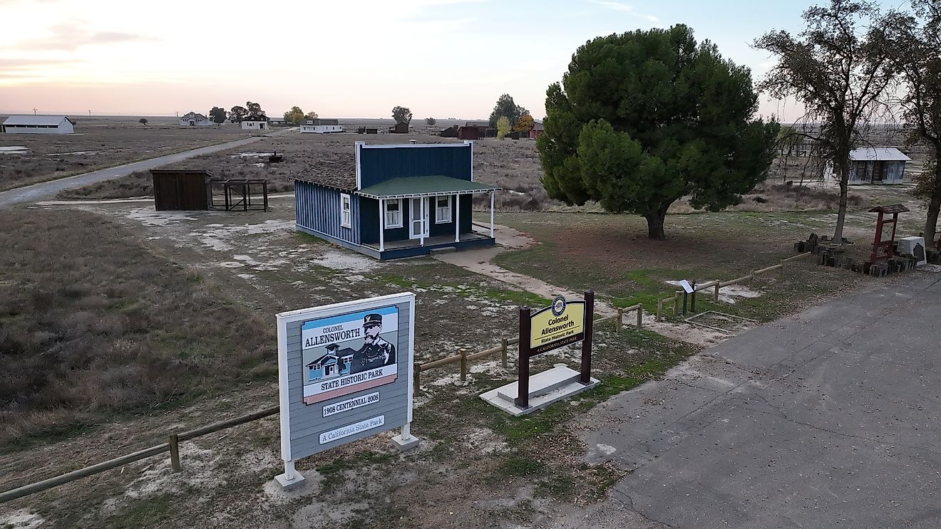
The Route 122 Scenic Byway, also known as the Lost Villages Scenic Byway, is a peaceful, state-designated route running through Worcester and Franklin Counties. It features unspoilt landscapes inspiring spiritual reflections and contemplative moments, especially around towns like Petersham and Barre, where you will find several Catholic convents and monasteries, Buddhist retreats, and non-denominational spiritual centers. It connects the towns of Paxton, Rutland, Oakham, Barre, Petersham, New Salem, and Orange, winding through rural farmland and historic mill towns, and along the northern edge of the Quabbin Reservoir, famous for being one of the largest unfiltered water supplies in the United States. With the window down, drivers may reflect on the four towns that were relocated in the 1920s and 1930s to accommodate this reservoir project. While the route avoids sharp hairpins, it follows gentle country curves through rolling hills and verdant valleys. The drive typically takes about an hour.
Route 7 from Williamstown to Great Barrington

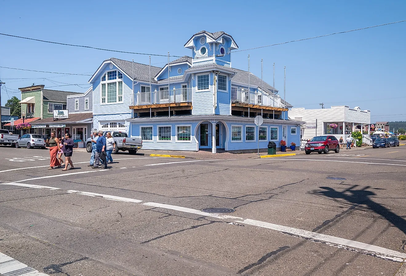
Route 7 is a north-south cruise through the colorful Berkshires, an adventure that features placid valleys, fertile farms, and lush, forested hills. Although it officially stretches from Norwalk, Connecticut, to the Vermont/Canada border, the Williamstown-to-Great Barrington stretch spans about 41 miles. You will experience the inherent quirkiness of the Berkshires, stopping at productive roadside farms, picturesque hiking trails, and several charming Berkshire towns, including Stockbridge, which has one of the most famous Main Streets in New England. Stockbridge is closely associated with the paintings of Norman Rockwell. Monument Mountain Reservation, about 4 miles north of Great Barrington, has well-known hiking trails and expansive views. This route has gentle curves, although the final stretch is relatively straight. Many visitors stop along Railroad Street, often described as the town’s “restaurant row” and a growing dining destination.
Battle Road Scenic Byway

The Battle Road Scenic Byway follows Route 2A between Lexington and Concord, a 15-mile route that features the best of American Revolution history. Besides history, this byway snakes through neat, pastoral landscapes with heart-warming views; no wonder it bears the “scenic” appellation. You will follow the path British regulars took along the way to the historic battles of Lexington and Concord in 1775. In the process, you will discover idyllic New England living, complete with colonial-era homes, stone walls, and preserved farmland. The route passes the Minute Man National Historical Park, which marks the site of the Battles of Lexington and Concord. Seasonal reenactments take place there, and the route also includes the Old North Bridge, where the ‘shot heard round the world’ took place on April 19, 1775. The terrain along the byway is mostly gentle rolling hills, typical of rural New England.
Atlantic Avenue & Jerusalem Road From Hull to Cohasset

This short, scenic road hugs Massachusetts’s rocky coastline and offers sweeping vistas of the Atlantic Ocean, often stretching to the horizon. It also borders some of the South Shore’s most sought-after residential areas. The drive begins in Hull at the intersection of Atlantic Avenue and Nantasket Avenue. From there, Atlantic Avenue continues along the coast to the Cohasset town line. There, you connect with Jerusalem Road, which then merges back into Atlantic Avenue near Kimball’s Point in Cohasset. Several pretty beaches line this route, starting with Gunrock Beach in Hull to the aptly named Sandy Beach in Cohasset. The route features gentle curves, flat terrain, and coastal breezes. In roughly three miles, this coastal stretch offers a compact but scenic shoreline drive, particularly on clear summer or fall days.
Planning Your Scenic Drive in Massachusetts

For a change of pace, consider a drive along one of Massachusetts’s scenic roads. The Bay State’s curving shoreline offers long coastal views, while inland routes highlight forests, hills, and farmland. Inland drives pass through canopied stretches of road framed by rolling hills and seasonal foliage. A short drive or a full-day outing can both be rewarding ways to experience the state.