7 Great Road Trips to Take in Arkansas
From the verdant forests and valleys of the Ozark and Ouachita Mountains to the vast, sweeping plains of the Mississippi Delta, Arkansas is a road tripper's dream. The seven routes below run the gamut and include small stretches of scenic highway as well as multi-hour odysseys spanning the entire state. Along the Great River Road, travelers trace the course of the Mississippi River through fertile delta farmland, historic river towns, and levee-lined landscapes shaped by centuries of flooding, while the Boston Mountains Scenic Loop pairs sweeping interstate vistas with vibrant towns like Fayetteville and a number of state parks. Even the Pig Trail Scenic Byway packs a lot into a drive that takes less than an hour, with tight switchbacks, dense mountain forest, and dramatic elevation changes unfolding at every turn. These road trips are the perfect way to explore Arkansas in all its scenic glory.
Arkansas Scenic 7 Byway

The Arkansas Scenic 7 Byway traces roughly 290 miles of Arkansas State Highway 7 from the Louisiana state line near El Dorado, home of the Murphy Arts District, and heads northward toward the Missouri‑Arkansas border near Diamond City, crossing much of the state’s diverse landscapes and serving as Arkansas’s first designated scenic byway. The route begins in the West Gulf Coastal Plain with gently rolling terrain and stands of dense pine before passing through Arkadelphia, where the forests deepen and the highway draws closer to the foothills of the Ouachita Mountains. North of Arkadelphia, travelers encounter DeGray Lake Resort State Park, a popular destination for boating, fishing, and recreation, then continue on into Hot Springs, home to Bathhouse Row in Hot Springs National Park.

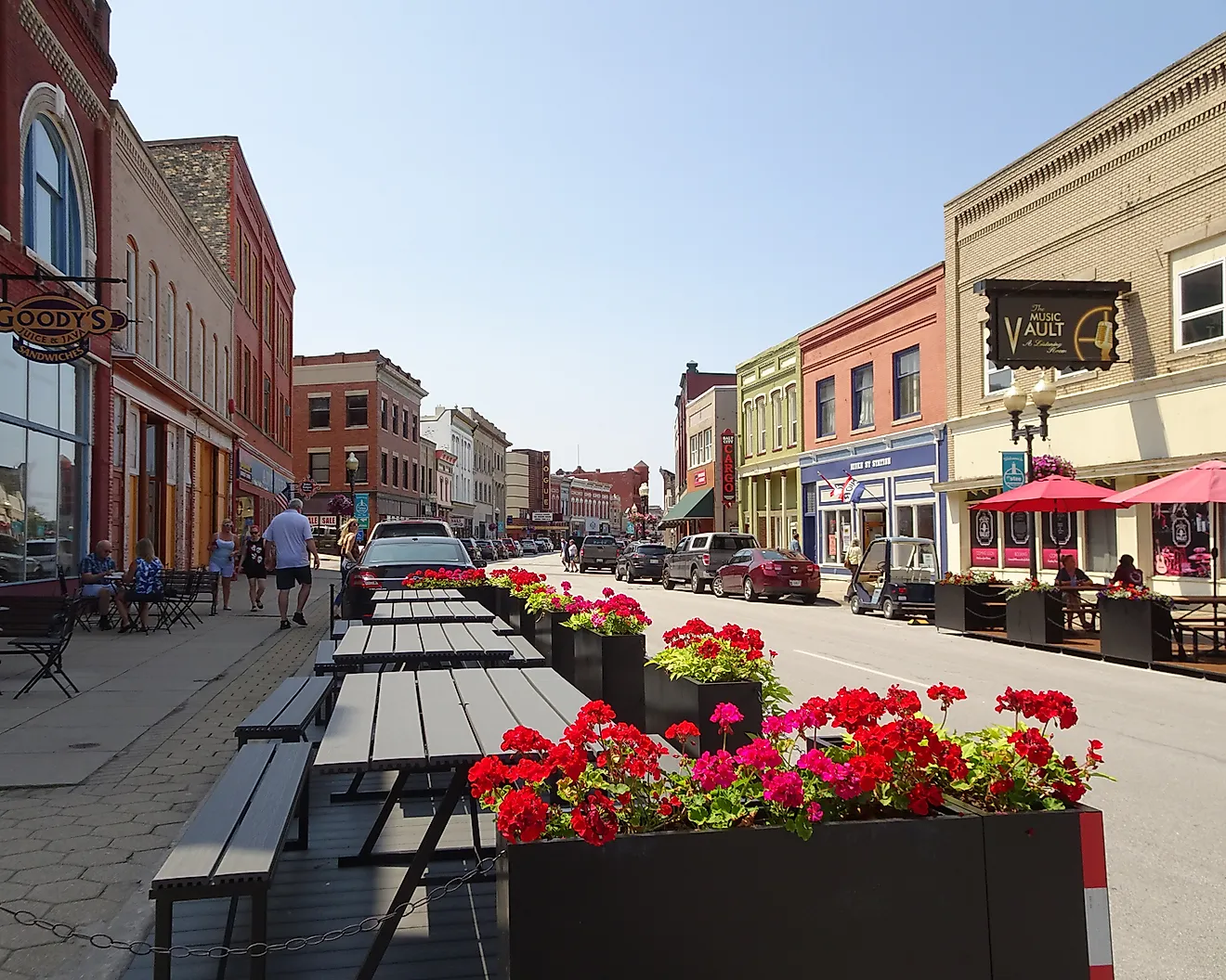
Leaving the Ouachita foothills, the road crosses the Arkansas River Valley, a patchwork of farmland and woodlands, before beginning its ascent into the Ozark Mountains and Ozark National Forest, regions renowned for fall foliage and rugged terrain. As AR-7 crosses the Arkansas River near Dardanelle and heads north towards Jasper near the Buffalo National River, scenic overlooks and winding mountain stretches provide dramatic views. A little farther north, the byway enters Harrison, whose historic downtown district includes parks, the Lyric Theater, and the restored 1929 Hotel Seville, along with museums, galleries, and antique shops. The last section of AR-7 continues onward towards Diamond City, a resort community along Bull Shoals Lake and the terminus of the route and the Scenic Byway. Connections to other scenic routes, such as the Ozark Highlands Scenic Byway, make the Scenic 7 a central spine for extended Arkansas road trips.
Great River Road

The Arkansas segment of the storied Great River Road runs about 362 miles from the Missouri border near Blytheville, home of the Delta Gateway Museum, to the Louisiana line south of Lake Village. The Mississippi River itself is often hidden behind levees, so the drive focuses on the floodplain landscape shaped by the river, including oxbow lakes, bottomland forest, and agricultural fields. Beginning near the Mississippi-Tennessee border along US 61 in Blytheville, the route heads south through Osceola and Marion, home of the Sultana Disaster Museum, while running parallel to the river and intersecting US 64 and US 70 at key points. Travelers pass through fertile agricultural plains, where cotton fields and soybeans stretch to the horizon, punctuated by levees and wildlife refuges. South of Helena, the Great River Road follows US 49 and US 70, and zigzags along levee-top roads with views of the Mississippi River and surrounding wetlands. Visitors encounter forested areas, waterfowl habitats, and historic riverfront districts.

The southern stretch of the route continues along various small state highways toward the Louisiana state line. Along the way, travelers encounter the Arkansas Post National Memorial, one of the earliest European settlements in the region, as well as vast agricultural lands and scenic pull-offs. One of the last towns along the route is McGehee, home of the World War II Japanese-American Internment Camp Museum, before the road continues on its last stretch. With intersections to other highways and scenic byways, such as Crowley's Ridge Parkway, the Arkansas portion of the Great River Road serves as both a recreational route and a corridor for exploring the state’s river heritage, linking communities from the northern delta down to the rich cultural and ecological landscapes of Eastern Arkansas.
Crowley's Ridge Parkway

Crowley’s Ridge Parkway stretches just over 200 miles from Helena to the Missouri state line, following a narrow upland that rises above the Mississippi Delta, tracing the length of Crowley’s Ridge toward the Missouri border. Recognized as a National Scenic Byway, the route begins in Helena, home of the Delta Cultural Center, and briefly overlaps with the Great River Road through the St. Francis National Forest en route to Marianna, then Forrest City, home of the St. Francis County Museum. From here, scenic pit stops include Village Creek State Park and Lake Poinsett State Park before reaching the sizable college town of Jonesboro, home of the Arkansas State University Museum.

After Jonesboro, the road continues north past Lake Frierson State Park before turning east towards Paragould, which boasts a historic downtown district featuring the Collins Theater. The route then heads northwards along a series of ridge roads before turning west along US 62 towards the town of Piggott, home of the Hemingway-Pfeiffer Museum and Educational Center. The last brief section runs to the Missouri state border, where prospective travelers may choose to undertake the brief Missouri section of the Parkway as far as Malden.
Boston Mountains Scenic Loop

The Boston Mountains Scenic Loop traces a rugged stretch of northwest Arkansas, following a combination of Interstate 49 and US 71 through the heart of the Boston Mountains. Beginning in Alma, a little town just off I-40 northeast of Fort Smith, head north on I-49 as the road climbs steadily into higher elevations, offering sweeping views of forested ridgelines and narrow valleys carved into the ancient terrain. Near Winslow, the route passes close to Devil’s Den State Park, where trails and wooded valleys sit just off the interstate, before continuing past West Fork and Greenland into Fayetteville, home to the Botanical Garden of the Ozarks, the Walton Arts Center, and the city's main entertainment and nightlife district along Dickson Street.

From Fayetteville, turn south onto US 71, a historic stagecoach route that offers a closer, more winding experience of the terrain. The road twists and dips through forested slopes and continues through small towns such as West Fork and Winslow before reaching Mountainburg, where access to Lake Fort Smith State Park and nearby overlooks provides opportunities to stop and take in the surrounding natural beauty. Continuing south, US 71 descends back into the flatlands of the Arkansas Valley before terminating at Alma and completing the loop.
Talimena Scenic Drive

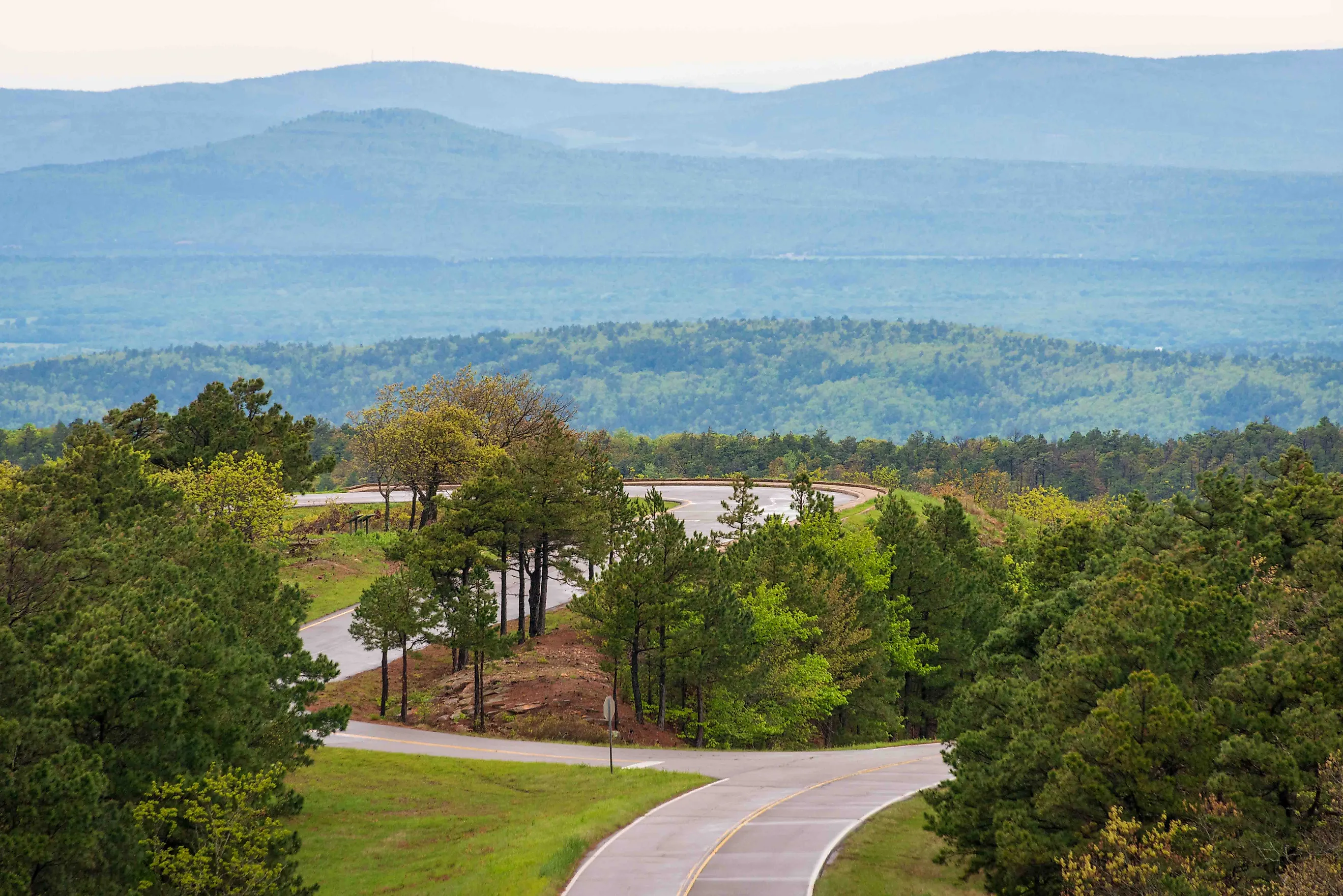
Inclusion of this particular drive may be cheating slightly, as a fair portion of the drive also winds through Oklahoma, but any write-up of Arkansas road trips would be remiss to not mention one of the state's three National Scenic Byways. The Talimena Scenic Drive skirts the crest of the Ouachita Mountains, linking western Arkansas and eastern Oklahoma along a high, forested ridge for a total of 54 miles, 14 of which are in Arkansas. Beginning at the small town of Mena near US Route 71, the route follows Arkansas Highway 88 westward into the Ouachita National Forest, where the road climbs steadily toward Rich Mountain, the second-highest point in the state. As the elevation increases, broad views open across layers of wooded ridges and narrow valleys, with pull-offs providing frequent opportunities to take in the surrounding landscape. Near the summit, the drive passes through Queen Wilhelmina State Park, where overlooks and short trails sit just off the roadway.

Continuing west, the highway reaches the Arkansas and Oklahoma state line before becoming Oklahoma State Highway 1, maintaining its course along the crest of the Ouachitas. The road rises and falls with the terrain, offering uninterrupted vistas of forested peaks, lakes, and streams that stretch across the region. During spring and autumn, the mountains are marked by fresh greenery or vibrant foliage, while certain weather conditions place the roadway above low clouds and fog settled in the valleys below. At Talimena State Park and the junction with US 271, the route turns south toward the western terminus at Talihina, the "Village Between the Mountains."
Sylamore Scenic Byway

The Sylamore Scenic Byway covers roughly 26 miles along Arkansas Highways 14 and 341 through the Ozark National Forest. Starting at Blanchard Springs Caverns, head east on AR 14 and wind your way along the steep, crooked country road through a deep forest of hickory and pines, briefly exiting the forest to turn north onto AR 341 in Allison, home of several camps and lodges. The road then parallels the White River and straightens out slightly, but it is no less hilly as the byway pushes through the dense forest past the lookout tower at Sugarloaf Mountain. The byway concludes as AR 341 crosses the White River into the historic, largely tourism-oriented town of Calico Rock, home to sights such as the Calico Rock Museum and Peppersauce Alley, a ghost town on the east side of town.
Pig Trail Scenic Byway

The Pig Trail Scenic Byway stretches approximately 19 miles along Arkansas Highway 23, winding through the heart of the Ozark Mountains. The route begins in Ozark, a small town along the Arkansas River and home to the Historic Ozark Downtown District, from where travelers head north on AR 23 and immediately encounter tight curves and steep climbs that offer glimpses of the surrounding forested ridges. The road twists through dense stands of oak and pine, opening occasionally to reveal panoramic views of valleys and distant hills, particularly at the Ozark Scenic Overlook. The byway concludes as AR 23 reaches the junction of AR 16 near Brashears.
Arkansas' position as a crossroads of the Deep South, the Southwest, and the Ozarks allows for a combination of beguiling scenery and engaging towns, and the best way to experience these sights is by taking a road trip. These scenic drives and byways are but a sampling of the experiences on offer when exploring beyond the state's most well-known cities and sights. There's nothing quite like descending down the side of a mountain into a little lakeside village with a homestyle eatery, a quirky tourist attraction or two, and a proud and welcoming community. Arkansas truly shines on its backroads and in its quieter corners off the beaten path.