Ouachita Mountains
The Ouachita Mountains are a chain of mountains in South Central United States that extends approximately 360 kilometers east to west from central Arkansas to southeastern Oklahoma. The mountain range derived its name from two Choctaw words meaning “country of large buffalos. Ouachitas are a continuation of the Ozark Mountains, with the two mountain ranges forming the US Interior Highlands. The range’s highest elevation is Mount Magazine in Arkansas, at 839 meters above sea level. The range is unique in that it runs in an east-west direction instead of north to south like the Rocky and Appalachian Mountains. The Ouachita Range is a Level Three ecoregion, divided into six Level Four ecoregions.
Where Is The Ouachita Mountains?
Ouachita Mountains are one of the main mountain ranges in South Central US and forms part of the US Interior Highlands, a mountainous region between the Rocky and the Appalachian Mountains. It extends east to west from Little Rock in Arkansas into Oklahoma, where it runs through southeastern counties of Le Flore, Latimer, Mc Curtain, and Pittsburg and terminates at Atoke. The range includes the Ouachita National Forest, Southern US’ oldest National Forest extending from western Arkansas to extreme-eastern Oklahoma.
Geography Of The Ouachita Mountains

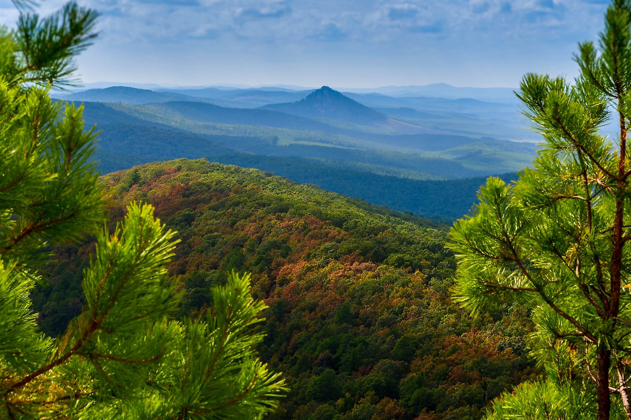
Unlike the Rockies and the Appalachian Mountains that extend from north to south, the Ouachitas run from east to west. It extends for approximately 360 kilometers from Arkansas to Oklahoma and 80-90 kilometers from the Arkansas River valley to Coastal Plain’s northern margin. The range’s highest elevation, Mount Magazine, rises about 839 meters above sea level.
The Ouachita Mountains were formed in the same way as the Appalachian Mountains, during the Paleozoic Era (about 300 million years ago). The area where the range sits was occupied by the Ouachita Basin (deep Ocean). The movement of the South American plate and the ocean waves caused the ocean floor to fold. The range had a much higher elevation than the present, but erosion and wind reduced the height of the mountains and caused the Arkansas Embayment to form. The mountains do not have volcanism and metamorphism, common features in an orogenic belt. The Ouachitas contain fine quartz, with Mount Ida containing some of the largest quantities of quartz. The mountain range also contains chert, sandstone, and slate.
Due to faulting and folding, the Ouachitas are subdivided into smaller ranges, separated by ridges and broad valleys. Mount Magazine, Ouachita’s tallest peak, is part of the Frontal Ouachita Range, located in the Arkansas River valley. This range is different from other subranges and can be considered an independent range. Another Ouachita subrange is the Fourche Range stretching between Pulaski, Arkansas, and Atoka, Oklahoma, with Rich Mountain as the tallest peak at 830 meters. The Fourche contains several popular sites, such as the Pinnacle Mountain State Park. The Athens Plateaus is part of the Ouachitas that extends from Arkadelphia, Arkansas, to McCurtain County in Oklahoma and comprises hills and low ridges. Other subranges within the Ouachita range are Caddo, Cross, Missouri, Crystal, Tap, and Zig Zag Mountains.
Wildlife In The Ouachita

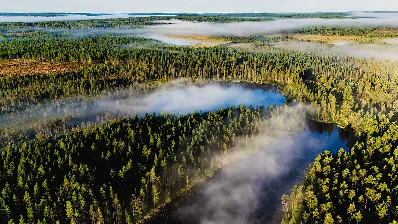
The Ouachita region receives heavy precipitation of approximately 1,220-1,420 mm annually. The area supports several tree species, including pines (loblolly and shortleaf), hickory, and white, black, post, and red oaks. The post oaks and shortleaf pine grow in upland areas. The Ouachitas also contains the only sites in the world where maple-leaf oaks grow. The region’s endemic plant species include Houstonia ouachitana, Solidago ouachitensis, and Quercus acerifolia.
The Ouachita National Forest is home to several animals, including wild turkey, deer, black bear, fox and gray squirrel, raccoons, and cottontail rabbits. The lakes and several streams flowing from the mountains provide habitat for over 150 native fish species. About 24 animal species that once dominated the region have become extinct because of overhunting and habitat loss. The animals include passenger pigeons, Carolina parakeet, elk, and bison.
Ten Highest Peaks
| Peak Name | Height in Meteres | Height in Feet |
|---|---|---|
| Magazine Mountain | 839 | 2,753 |
| Mossback Ridge | 829 | 2,720 |
| Magazine Mountain - Radio Area | 823 | 2,700 |
| Rich Mountain | 817 | 2,681 |
| Rich Mountain | 813 | 2,666 |
| Poteau Mountain | 811 | 2,660 |
| Black Fork Mountain | 811 | 2,660 |
| Peak 2660 | 811 | 2,660 |
| Blue Mountain | 799 | 2,623 |
| Queen Wilhelmina State Park High Point | 780 | 2,560 |