The Ocean Currents That Control The Weather
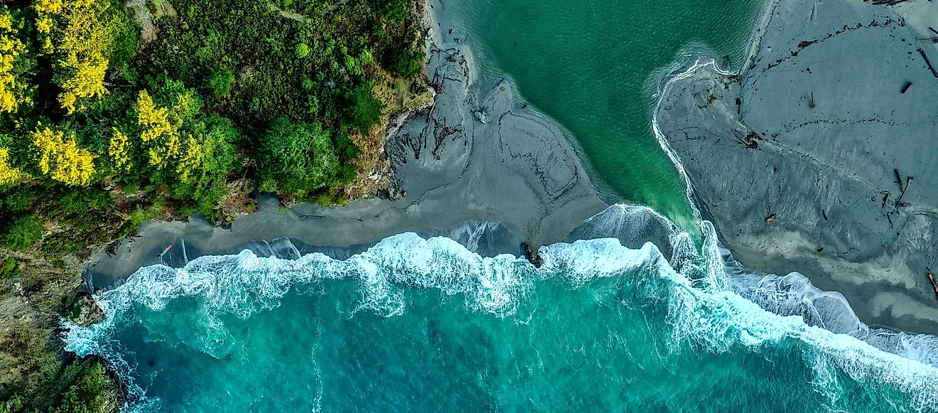
Weather doesn't begin entirely in the sky. Beneath it, moving seawater stores and transports enormous amounts of heat, linking distant parts of the planet. That connection reaches across the United States. Ocean conditions can help determine whether a coast is foggy, where winter storms travel, and how much energy a hurricane encounters. The atmosphere produces the weather people experience, but ocean currents help set the stage long before clouds appear overhead.
How Ocean Currents Affect the Weather
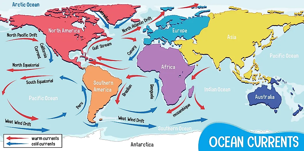
The equator receives more direct sunlight than the poles, creating a large imbalance in heat across the planet. Ocean currents help reduce that imbalance by carrying warm water away from the tropics and returning colder water toward lower latitudes.
As the ocean surface warms or cools the air above it, it changes the amount of heat and water vapor entering the atmosphere. Those differences can affect rainfall, cloud formation, air pressure, and storm development.
Global winds drive most surface currents. Earth's rotation bends their paths, and continents direct them into large rotating systems called gyres. Below the surface, differences in temperature and salinity affect the density of seawater. Colder or saltier water can sink, helping power slower currents through the deep ocean.
These processes operate on different scales. Some currents shape daily coastal conditions, while larger ocean patterns influence entire seasons.
The Gulf Stream Shapes East Coast Weather

The Gulf Stream begins with warm water flowing through the Florida Straits. It travels north along the southeastern US before turning away from the coast near Cape Hatteras, North Carolina, and continuing into the North Atlantic.
One of its most important features is the boundary it creates between warm tropical water and cooler water to the north and west. Winter storms moving off the continent can cross this sharp temperature divide. There, cold air encounters a ready supply of heat and moisture, sometimes allowing an offshore storm to strengthen quickly.
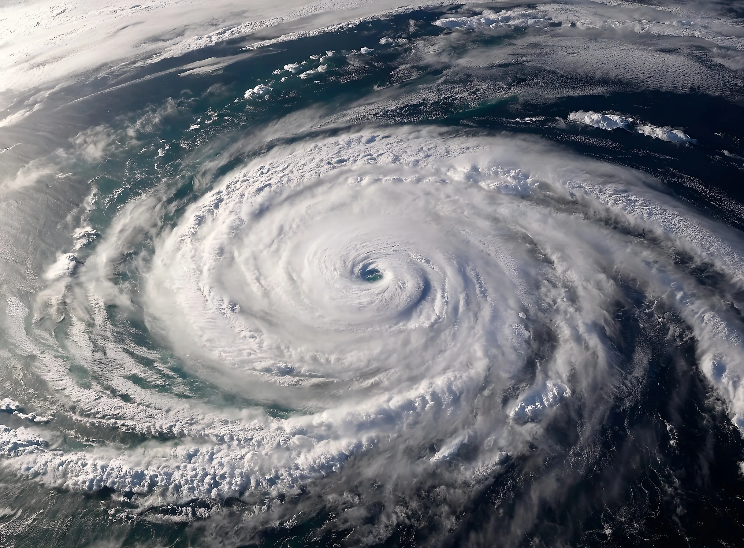
This interaction can contribute to powerful nor'easters capable of bringing snow, rain, wind, and coastal flooding to the Northeast. The current's warm water can also help tropical cyclones maintain their strength as they move along the East Coast.
The Gulf Stream's location matters as much as its temperature. Bends and shifts in its path change where the strongest ocean temperature contrasts occur, which can affect conditions along major shipping routes and heavily populated coastlines.
The Loop Current Can Strengthen Gulf Coast Hurricanes

Before warm Caribbean water reaches the Gulf Stream, much of it passes through the Gulf of Mexico as the Loop Current. It enters through the Yucatán Channel, bends through the eastern Gulf, and exits through the Florida Straits.
The Loop Current sometimes sheds large rotating bodies of water called warm-core eddies. Their heat can reach hundreds of feet below the surface. This depth matters during a hurricane because powerful winds stir the upper ocean. Over shallow warm water, that mixing may pull colder water upward and reduce the storm's energy supply. A deep warm eddy is harder to cool in this way.
If other conditions are favorable, a storm crossing one of these features may intensify rapidly. Forecasters monitor the Loop Current and its eddies throughout hurricane season, especially when a storm threatens the US Gulf Coast.
The California Current Cools the West Coast

While warm water flows north along the East Coast, the California Current carries cool water south along Washington, Oregon, and California. Its influence helps produce the mild summers associated with much of the Pacific coast.
The effect becomes stronger during periods of coastal upwelling. Seasonal winds push surface water away from land, allowing colder water to rise from below. Along with bringing nutrients into sunlit waters, upwelling lowers temperatures near the coast.
Moist air that moves over this cold water can cool enough for fog and low clouds to form. The marine layer may then move inland overnight before retreating as the land warms during the day. Around San Francisco, this cycle helps create the city's famous summer fog.
Cold coastal water also contributes to striking temperature differences over short distances. A beach may remain cool and cloudy while an inland valley less than 50 miles away experiences clear skies and intense heat.
El Niño and La Niña Rearrange US Weather
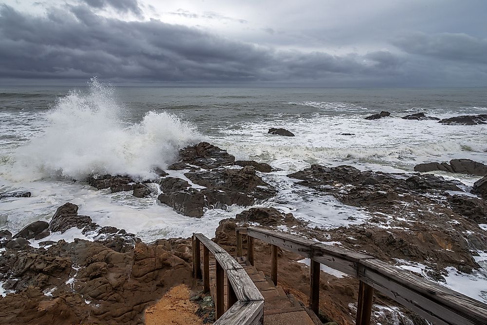
El Niño and La Niña show how ocean changes can affect weather far from the water where they begin. They are opposite phases of the El Niño-Southern Oscillation, or ENSO, a recurring pattern involving tropical Pacific temperatures, trade winds, and air pressure.
During El Niño, the trade winds weaken, and unusually warm surface water spreads eastward across the central and eastern tropical Pacific. Tropical rainfall shifts with it, setting off changes in atmospheric circulation that can alter the position of the jet stream.
A typical El Niño winter is wetter across parts of the southern US and warmer across portions of the North. California and the Southwest may receive more storms, although El Niño doesn't guarantee heavy rain in every location.
La Niña produces roughly opposite tropical Pacific conditions. Stronger trade winds push warm water westward, while colder water rises near the western coast of South America. La Niña winters tend to be wetter in the Pacific Northwest and drier across much of the South.
The pattern also reaches the Atlantic. El Niño usually increases vertical wind shear over the tropical Atlantic, making it harder for hurricanes to develop. La Niña often reduces that wind shear and creates a more favorable hurricane environment.
The AMOC Connects the Atlantic
The Gulf Stream belongs to a wider Atlantic system called the Atlantic Meridional Overturning Circulation, or AMOC. This circulation carries warm, salty water northward through the Atlantic's upper layers and returns colder water southward at depth.
Temperature and salinity both help drive this movement. In the far North Atlantic, surface water releases heat, cools, and becomes denser. Some of it sinks and joins the deep southward flow. Winds and mixing in other ocean regions also keep the system moving.
The Gulf Stream and AMOC are related but not interchangeable. The Gulf Stream is a specific current driven largely by winds and the rotation of the North Atlantic gyre. The AMOC is a basin-wide circulation system that includes several currents and deep-water pathways.
Are Ocean Currents Changing?
Currents have always varied across seasons, years, and decades. Scientists are now studying how rising temperatures, changing winds, melting land ice, and shifts in salinity may alter that natural variability over longer periods.
The AMOC receives particular attention because climate models project that it will weaken as the planet warms. However, its size and complexity make long-term changes difficult to measure. Continuous observations across a key part of the Atlantic began in the early 2000s, so the direct record remains short compared with the decades-long variations scientists are trying to identify.
Researchers use anchored instruments, satellites, research ships, surface drifters, and robotic Argo floats to observe the ocean. Together, these tools measure current speed, temperature, salinity, and the amount of heat transported through different regions.
Changes in circulation could affect rainfall, regional temperatures, marine ecosystems, and sea levels along parts of the US coast. Scientists cannot use one storm or unusual season as proof of a lasting shift. Detecting one requires measurements collected consistently across many years.
An Ocean in Constant Motion
Ocean currents connect American weather to waters far beyond the horizon. Some produce cool fog beside California beaches, while others store heat beneath the paths of Gulf Coast hurricanes or shape storms over the Atlantic. Each current has a different role, but together they make the ocean one of the most important forces behind Earth's weather.