Where is Summit County, Ohio?
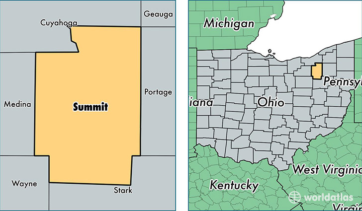
Summit County is a county equivalent area found in Ohio, USA. The county government of Summit is found in the county seat of Akron.
With a total 1,088.14 sq. km of land and water area, Summit County, Ohio is the 2490th largest county equivalent area in the United States. Home to 541,943 people, Summit County has a total 244648 households earning 49669 on average per year.
Summit County, Ohio offers the following attraction to visitors: Cuyahoga Valley NP
Summit County, Ohio - Quick Facts
| FIPS Code | 39153 |
| Area Codes | 330 |
| Time Zone | EST |
| Major Cities | Akron (population: 271,641), Cuyahoga Falls (population: 47,686), Barberton (population: 41,175), Stow (population: 38,672), Hudson (population: 25,251), Northfield (population: 20,404), Twinsburg (population: 20,184), Tallmadge (population: 17,836), Macedonia (population: 11,137), Clinton (population: 9,401) |
| Land Area | 209,245 sq miles |
| Water Area | 413 sq miles |
| Household Income | $49,669 |
| Housing Units | 244,648 |
| Median Home Value | $135,600 |
| High School Grads | 90% of population |
| Holders of Bachelors Degrees | 30% of population |
| Retail Spending | $13,558 per capita |
| Food & Accomodation Sales | $885,042 per capita |
| Universities and Colleges | University of Akron Main Campus, Miami-Jacobs Career College |
This page was last updated on June 30, 2016.