Where is Medina County, Ohio?
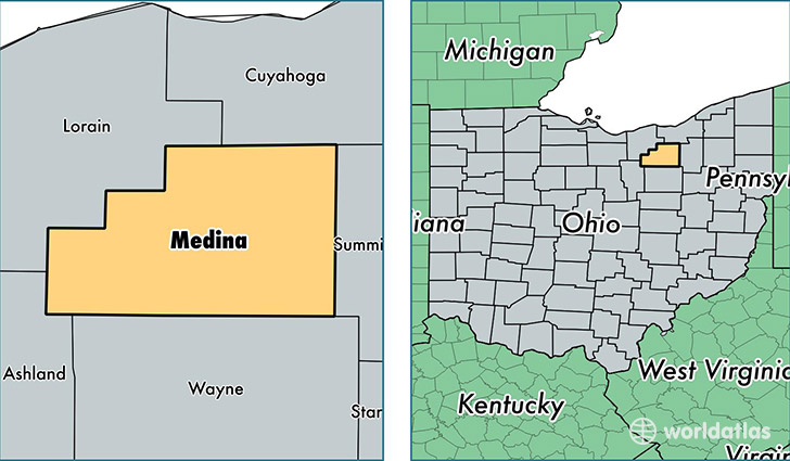
Medina County is a county equivalent area found in Ohio, USA. The county government of Medina is found in the county seat of Medina.
With a total 1,095.6 sq. km of land and water area, Medina County, Ohio is the 2479th largest county equivalent area in the United States. Home to 176,029 people, Medina County has a total 70061 households earning 65951 on average per year.
Medina County, Ohio - Quick Facts
| FIPS Code | 39103 |
| Area Codes | 330 |
| Time Zone | EST |
| Major Cities | Medina (population: 62,524), Brunswick (population: 43,889), Wadsworth (population: 30,187), Hinckley (population: 7,705), Seville (population: 6,770), Lodi (population: 4,870), Valley City (population: 4,592), Spencer (population: 3,548), Litchfield (population: 3,241), Chippewa Lake (population: 2,178) |
| Land Area | 67,965 sq miles |
| Water Area | 421 sq miles |
| Household Income | $65,951 |
| Housing Units | 70,061 |
| Median Home Value | $181,000 |
| High School Grads | 93% of population |
| Holders of Bachelors Degrees | 30% of population |
| Retail Spending | $12,439 per capita |
| Food & Accomodation Sales | $186,094 per capita |
This page was last updated on June 30, 2016.