Stark County, OH, USA
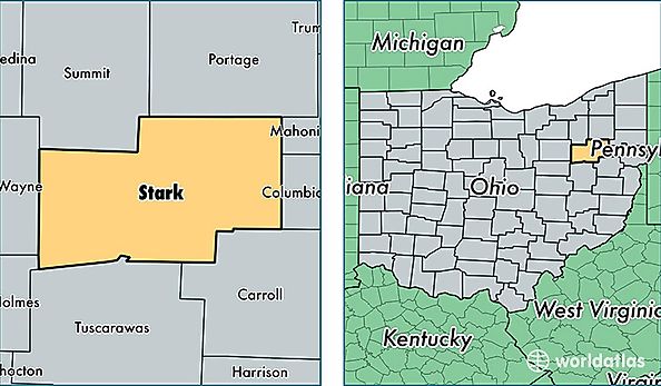
Stark County is a county equivalent area found in Ohio, USA. The county government of Stark is found in the county seat of Canton.
With a total 1,503.7 sq. km of land and water area, Stark County, Ohio is the 1826th largest county equivalent area in the United States. Home to 375,736 people, Stark County has a total 164886 households earning 45641 on average per year.
Stark County, Ohio offers the following attractions to visitors: William McKinley Library and Tomb, First Ladies NHS
Stark County, Ohio - Quick Facts
| FIPS Code | 39151 |
| Area Codes | 330 |
| Time Zone | EST |
| Major Cities | Canton (population: 147,457), Massillon (population: 65,414), North Canton (population: 38,935), Alliance (population: 35,191), Uniontown (population: 27,505), Louisville (population: 20,310), Canal Fulton (population: 12,570), Minerva (population: 10,269), Hartville (population: 9,747), Navarre (population: 9,640) |
| Land Area | 145,072 sq miles |
| Water Area | 575 sq miles |
| Household Income | $45,641 |
| Housing Units | 164,886 |
| Median Home Value | $122,400 |
| High School Grads | 89% of population |
| Holders of Bachelors Degrees | 21% of population |
| Retail Spending | $13,068 per capita |
| Food & Accomodation Sales | $517,952 per capita |
| Universities and Colleges | Aultman College of Nursing and Health Sciences, National Beauty College |