Where is Forsyth County, North Carolina?
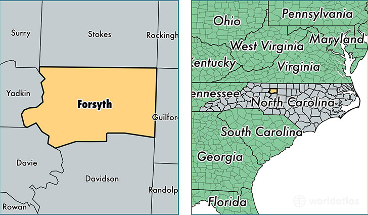
Forsyth County is a county equivalent area found in North Carolina, USA. The county government of Forsyth is found in the county seat of Winston-Salem.
With a total 1,068.88 sq. km of land and water area, Forsyth County, North Carolina is the 2525th largest county equivalent area in the United States. Home to 365,298 people, Forsyth County has a total 159215 households earning 45724 on average per year.
Forsyth County, North Carolina - Quick Facts
| FIPS Code | 37067 |
| Area Codes | 336 |
| Time Zone | EST |
| Major Cities | Winston-Salem (population: 255,969), Kernersville (population: 52,225), Clemmons (population: 25,906), Lewisville (population: 12,125), Pfafftown (population: 11,124), Rural Hall (population: 8,712), Walkertown (population: 7,525), Tobaccoville (population: 3,954), Belews Creek (population: 2,703) |
| Land Area | 141,042 sq miles |
| Water Area | 408 sq miles |
| Household Income | $45,724 |
| Housing Units | 159,215 |
| Median Home Value | $150,600 |
| High School Grads | 87% of population |
| Holders of Bachelors Degrees | 32% of population |
| Retail Spending | $14,953 per capita |
| Food & Accomodation Sales | $646,828 per capita |
| Universities and Colleges | Carolina Beauty College 20, Salem College, Wake Forest University, Winston Salem Barber School |
This page was last updated on June 30, 2016.