Where is Surry County, North Carolina?
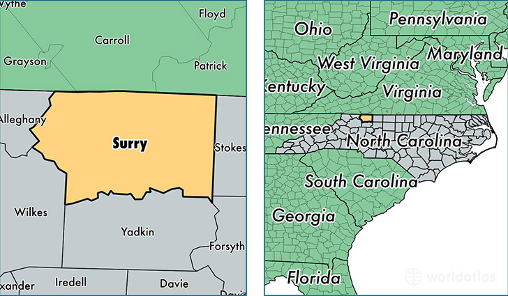
Surry County is a county equivalent area found in North Carolina, USA. The county government of Surry is found in the county seat of Dobson.
With a total 1,389.02 sq. km of land and water area, Surry County, North Carolina is the 2052nd largest county equivalent area in the United States. Home to 72,968 people, Surry County has a total 33327 households earning 35641 on average per year.
Surry County, North Carolina - Quick Facts
| FIPS Code | 37171 |
| Area Codes | 336 |
| Time Zone | EST |
| Major Cities | Mount Airy (population: 38,311), Elkin (population: 10,459), Dobson (population: 9,582), Pilot Mountain (population: 7,527), Westfield (population: 2,970), Lowgap (population: 2,728), Ararat (population: 2,158), Siloam (population: 1,189) |
| Land Area | 28,173 sq miles |
| Water Area | 532 sq miles |
| Household Income | $35,641 |
| Housing Units | 33,327 |
| Median Home Value | $109,900 |
| High School Grads | 75% of population |
| Holders of Bachelors Degrees | 15% of population |
| Retail Spending | $14,614 per capita |
| Food & Accomodation Sales | $84,911 per capita |
| Universities and Colleges | Surry Community College |
This page was last updated on June 30, 2016.