Where is Davie County, North Carolina?
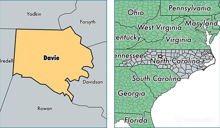
Davie County is a county equivalent area found in North Carolina, USA. The county government of Davie is found in the county seat of Mocksville.
With a total 691.12 sq. km of land and water area, Davie County, North Carolina is the 2908th largest county equivalent area in the United States. Home to 41,434 people, Davie County has a total 18097 households earning 50139 on average per year.
Davie County, North Carolina - Quick Facts
| FIPS Code | 37059 |
| Area Codes | 336 |
| Time Zone | EST |
| Major Cities | Mocksville (population: 25,960), Advance (population: 14,216), Cooleemee (population: 843) |
| Land Area | 15,998 sq miles |
| Water Area | 264 sq miles |
| Household Income | $50,139 |
| Housing Units | 18,097 |
| Median Home Value | $162,100 |
| High School Grads | 85% of population |
| Holders of Bachelors Degrees | 25% of population |
| Retail Spending | $10,066 per capita |
| Food & Accomodation Sales | $28,967 per capita |
This page was last updated on June 30, 2016.