Where is Davidson County, North Carolina?
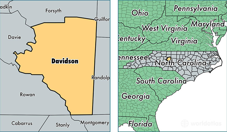
Davidson County is a county equivalent area found in North Carolina, USA. The county government of Davidson is found in the county seat of Lexington.
With a total 1,468.58 sq. km of land and water area, Davidson County, North Carolina is the 1943rd largest county equivalent area in the United States. Home to 164,072 people, Davidson County has a total 72466 households earning 43083 on average per year.
Davidson County, North Carolina - Quick Facts
| FIPS Code | 37057 |
| Area Codes | 336 |
| Time Zone | EST |
| Major Cities | Lexington (population: 77,178), Thomasville (population: 46,201), Denton (population: 9,106), Linwood (population: 5,202) |
| Land Area | 63,349 sq miles |
| Water Area | 553 sq miles |
| Household Income | $43,083 |
| Housing Units | 72,466 |
| Median Home Value | $134,000 |
| High School Grads | 80% of population |
| Holders of Bachelors Degrees | 18% of population |
| Retail Spending | $8,101 per capita |
| Food & Accomodation Sales | $131,833 per capita |
This page was last updated on June 30, 2016.