Where is Guilford County, North Carolina?
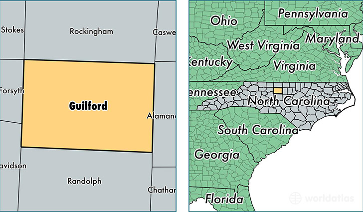
Guilford County is a county equivalent area found in North Carolina, USA. The county government of Guilford is found in the county seat of Greensboro.
With a total 1,703.24 sq. km of land and water area, Guilford County, North Carolina is the 1547th largest county equivalent area in the United States. Home to 512,119 people, Guilford County has a total 221366 households earning 45431 on average per year.
Guilford County, North Carolina offers the following attraction to visitors: Guilford Courthouse NMP
Guilford County, North Carolina - Quick Facts
| FIPS Code | 37081 |
| Area Codes | 336,704 |
| Time Zone | EST |
| Major Cities | Greensboro (population: 312,956), High Point (population: 96,843), Jamestown (population: 16,312), Summerfield (population: 14,346), Gibsonville (population: 12,749), Browns Summit (population: 10,540), McLeansville (population: 8,973), Whitsett (population: 7,285), Pleasant Garden (population: 7,092), Oak Ridge (population: 6,881) |
| Land Area | 197,730 sq miles |
| Water Area | 646 sq miles |
| Household Income | $45,431 |
| Housing Units | 221,366 |
| Median Home Value | $156,000 |
| High School Grads | 88% of population |
| Holders of Bachelors Degrees | 33% of population |
| Retail Spending | $15,600 per capita |
| Food & Accomodation Sales | $1,044,546 per capita |
| Universities and Colleges | Carolina Beauty College 8, Leons Beauty School Inc, High Point University |
This page was last updated on June 30, 2016.