Where is Rowan County, North Carolina?
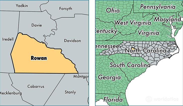
Rowan County is a county equivalent area found in North Carolina, USA. The county government of Rowan is found in the county seat of Salisbury.
With a total 1,356.08 sq. km of land and water area, Rowan County, North Carolina is the 2092nd largest county equivalent area in the United States. Home to 138,630 people, Rowan County has a total 59767 households earning 41495 on average per year.
Rowan County, North Carolina - Quick Facts
| FIPS Code | 37159 |
| Area Codes | 704 |
| Time Zone | EST |
| Major Cities | Salisbury (population: 76,905), China Grove (population: 14,149), Rockwell (population: 10,509), Cleveland (population: 6,085), Richfield (population: 3,118), Spencer (population: 3,102), Landis (population: 2,856), Gold Hill (population: 2,823), Woodleaf (population: 2,562), Mount Ulla (population: 2,531) |
| Land Area | 53,525 sq miles |
| Water Area | 511 sq miles |
| Household Income | $41,495 |
| Housing Units | 59,767 |
| Median Home Value | $130,200 |
| High School Grads | 81% of population |
| Holders of Bachelors Degrees | 17% of population |
| Retail Spending | $8,474 per capita |
| Food & Accomodation Sales | $132,143 per capita |
| Universities and Colleges | Rowan-Cabarrus Community College |
This page was last updated on June 30, 2016.