Where is Stanly County, North Carolina?
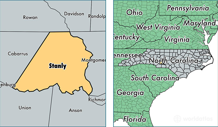
Stanly County is a county equivalent area found in North Carolina, USA. The county government of Stanly is found in the county seat of Albemarle.
With a total 1,048.53 sq. km of land and water area, Stanly County, North Carolina is the 2577th largest county equivalent area in the United States. Home to 60,600 people, Stanly County has a total 27097 households earning 42518 on average per year.
Stanly County, North Carolina - Quick Facts
| FIPS Code | 37167 |
| Area Codes | 704 |
| Time Zone | EST |
| Major Cities | Albemarle (population: 26,756), New London (population: 7,586), Norwood (population: 7,474), Oakboro (population: 5,398), Locust (population: 5,375), Stanfield (population: 5,232), Badin (population: 1,120), Misenheimer (population: 386) |
| Land Area | 23,398 sq miles |
| Water Area | 395 sq miles |
| Household Income | $42,518 |
| Housing Units | 27,097 |
| Median Home Value | $125,100 |
| High School Grads | 81% of population |
| Holders of Bachelors Degrees | 16% of population |
| Retail Spending | $10,306 per capita |
| Food & Accomodation Sales | $55,742 per capita |
| Universities and Colleges | Pfeiffer University |
This page was last updated on June 30, 2016.