Where is Randolph County, North Carolina?
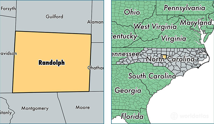
Randolph County is a county equivalent area found in North Carolina, USA. The county government of Randolph is found in the county seat of Asheboro.
With a total 2,044.41 sq. km of land and water area, Randolph County, North Carolina is the 1201st largest county equivalent area in the United States. Home to 142,778 people, Randolph County has a total 60914 households earning 41208 on average per year.
Randolph County, North Carolina - Quick Facts
| FIPS Code | 37151 |
| Area Codes | 336 |
| Time Zone | EST |
| Major Cities | Asheboro (population: 54,597), High Point (population: 21,662), Randleman (population: 17,055), Trinity (population: 15,127), Liberty (population: 10,455), Ramseur (population: 6,683), Sophia (population: 6,562), Seagrove (population: 5,405), Franklinville (population: 4,546), Climax (population: 3,433) |
| Land Area | 55,127 sq miles |
| Water Area | 782 sq miles |
| Household Income | $41,208 |
| Housing Units | 60,914 |
| Median Home Value | $121,900 |
| High School Grads | 78% of population |
| Holders of Bachelors Degrees | 14% of population |
| Retail Spending | $8,303 per capita |
| Food & Accomodation Sales | $131,315 per capita |
This page was last updated on June 30, 2016.