Where is Montgomery County, Missouri?
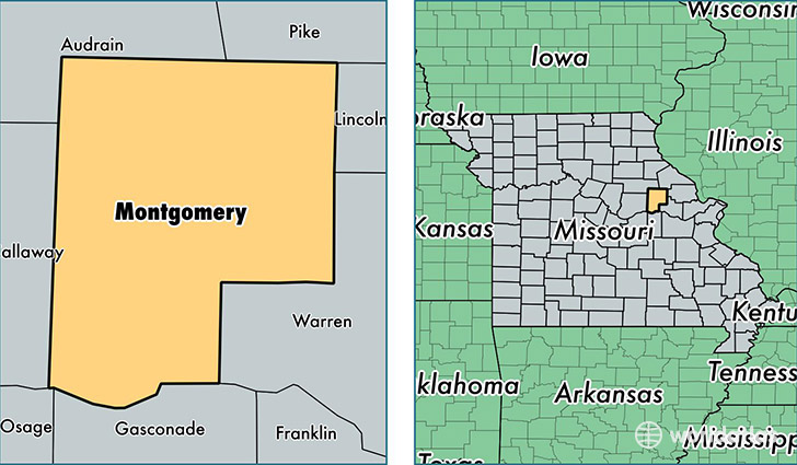
Montgomery County is a county equivalent area found in Missouri, USA. The county government of Montgomery is found in the county seat of Montgomery City.
With a total 1,399.87 sq. km of land and water area, Montgomery County, Missouri is the 2039th largest county equivalent area in the United States. Home to 11,841 people, Montgomery County has a total 6119 households earning 40236 on average per year.
Montgomery County, Missouri - Quick Facts
| FIPS Code | 29139 |
| Area Codes | 573,636 |
| Time Zone | CST |
| Major Cities | Montgomery City (population: 4,441), Wellsville (population: 1,919), Jonesburg (population: 1,748), New Florence (population: 1,688), Bellflower (population: 768), Rhineland (population: 633), High Hill (population: 550) |
| Land Area | 4,572 sq miles |
| Water Area | 535 sq miles |
| Household Income | $40,236 |
| Housing Units | 6,119 |
| Median Home Value | $101,500 |
| High School Grads | 81% of population |
| Holders of Bachelors Degrees | 12% of population |
| Retail Spending | $6,829 per capita |
| Food & Accomodation Sales | $6,008 per capita |
This page was last updated on June 30, 2016.