Where is Warren County, Missouri?
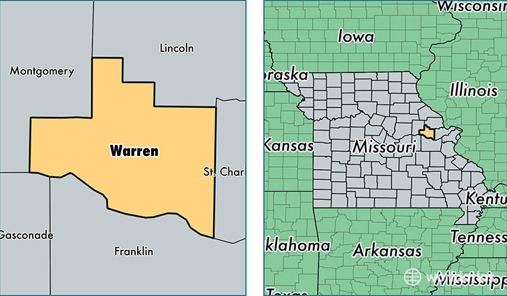
Warren County is a county equivalent area found in Missouri, USA. The county government of Warren is found in the county seat of Warrenton.
With a total 1,133.82 sq. km of land and water area, Warren County, Missouri is the 2396th largest county equivalent area in the United States. Home to 33,253 people, Warren County has a total 14822 households earning 50830 on average per year.
Warren County, Missouri - Quick Facts
| FIPS Code | 29219 |
| Area Codes | 636 |
| Time Zone | CST |
| Major Cities | Warrenton (population: 15,887), Wright City (population: 9,839), Marthasville (population: 5,579), Truxton (population: 534) |
| Land Area | 12,839 sq miles |
| Water Area | 429 sq miles |
| Household Income | $50,830 |
| Housing Units | 14,822 |
| Median Home Value | $151,300 |
| High School Grads | 84% of population |
| Holders of Bachelors Degrees | 16% of population |
| Retail Spending | $10,438 per capita |
| Food & Accomodation Sales | $22,441 per capita |
This page was last updated on June 30, 2016.