Where is Gasconade County, Missouri?
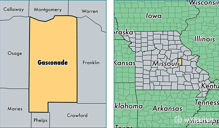
Gasconade County is a county equivalent area found in Missouri, USA. The county government of Gasconade is found in the county seat of Hermann.
With a total 1,362.22 sq. km of land and water area, Gasconade County, Missouri is the 2086th largest county equivalent area in the United States. Home to 14,866 people, Gasconade County has a total 8112 households earning 41392 on average per year.
Gasconade County, Missouri - Quick Facts
| FIPS Code | 29073 |
| Area Codes | 573 |
| Time Zone | CST |
| Major Cities | Owensville (population: 6,598), Hermann (population: 5,632), Bland (population: 2,220), Rosebud (population: 1,245), Morrison (population: 736), Gasconade (population: 254), Mount Sterling (population: 48) |
| Land Area | 5,740 sq miles |
| Water Area | 519 sq miles |
| Household Income | $41,392 |
| Housing Units | 8,112 |
| Median Home Value | $116,000 |
| High School Grads | 84% of population |
| Holders of Bachelors Degrees | 15% of population |
| Retail Spending | $9,486 per capita |
| Food & Accomodation Sales | $13,473 per capita |
This page was last updated on June 30, 2016.