Where is Callaway County, Missouri?
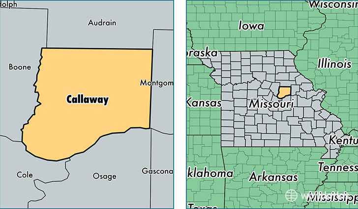
Callaway County is a county equivalent area found in Missouri, USA. The county government of Callaway is found in the county seat of Fulton.
With a total 2,194.65 sq. km of land and water area, Callaway County, Missouri is the 1087th largest county equivalent area in the United States. Home to 44,750 people, Callaway County has a total 18425 households earning 47964 on average per year.
Callaway County, Missouri - Quick Facts
| FIPS Code | 29027 |
| Area Codes | 573 |
| Time Zone | CST |
| Major Cities | Fulton (population: 22,423), Holts Summit (population: 9,446), New Bloomfield (population: 3,409), Auxvasse (population: 3,331), Tebbetts (population: 1,014), Kingdom City (population: 954), Mokane (population: 866), Williamsburg (population: 709), Steedman (population: 560), Portland (population: 378) |
| Land Area | 17,278 sq miles |
| Water Area | 835 sq miles |
| Household Income | $47,964 |
| Housing Units | 18,425 |
| Median Home Value | $124,500 |
| High School Grads | 86% of population |
| Holders of Bachelors Degrees | 21% of population |
| Retail Spending | $7,660 per capita |
| Food & Accomodation Sales | $33,202 per capita |
This page was last updated on June 30, 2016.