Where is Osage County, Missouri?
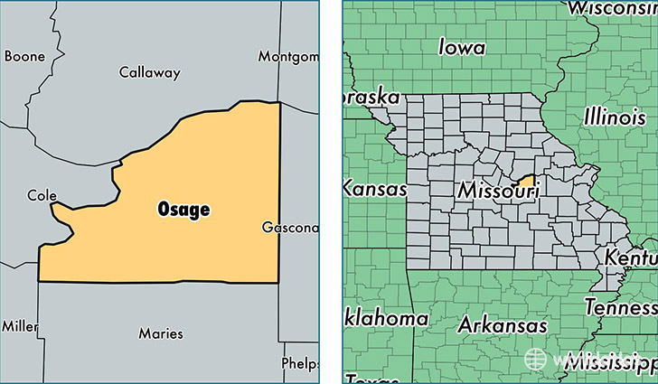
Osage County is a county equivalent area found in Missouri, USA. The county government of Osage is found in the county seat of Linn.
With a total 1,588.77 sq. km of land and water area, Osage County, Missouri is the 1698th largest county equivalent area in the United States. Home to 13,703 people, Osage County has a total 6529 households earning 51408 on average per year.
Osage County, Missouri - Quick Facts
| FIPS Code | 29151 |
| Area Codes | 573 |
| Time Zone | CST |
| Major Cities | Linn (population: 4,866), Freeburg (population: 1,823), Bonnots Mill (population: 1,374), Westphalia (population: 1,238), Chamois (population: 1,084), Loose Creek (population: 833), Argyle (population: 411), Koeltztown (population: 153) |
| Land Area | 5,291 sq miles |
| Water Area | 607 sq miles |
| Household Income | $51,408 |
| Housing Units | 6,529 |
| Median Home Value | $123,100 |
| High School Grads | 89% of population |
| Holders of Bachelors Degrees | 15% of population |
| Retail Spending | $9,940 per capita |
| Food & Accomodation Sales | $4,114 per capita |
This page was last updated on June 30, 2016.