Where is Audrain County, Missouri?
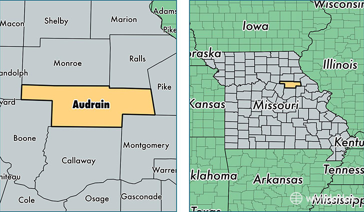
Audrain County is a county equivalent area found in Missouri, USA. The county government of Audrain is found in the county seat of Mexico.
With a total 1,804.76 sq. km of land and water area, Audrain County, Missouri is the 1448th largest county equivalent area in the United States. Home to 25,887 people, Audrain County has a total 10770 households earning 43013 on average per year.
Audrain County, Missouri - Quick Facts
| FIPS Code | 29007 |
| Area Codes | 573 |
| Time Zone | CST |
| Major Cities | Mexico (population: 15,463), Vandalia (population: 4,916), Laddonia (population: 1,082), Martinsburg (population: 722), Thompson (population: 697), Farber (population: 394), Benton City (population: 249), Rush Hill (population: 243) |
| Land Area | 9,995 sq miles |
| Water Area | 692 sq miles |
| Household Income | $43,013 |
| Housing Units | 10,770 |
| Median Home Value | $90,500 |
| High School Grads | 84% of population |
| Holders of Bachelors Degrees | 13% of population |
| Retail Spending | $9,643 per capita |
| Food & Accomodation Sales | $18,584 per capita |
This page was last updated on June 30, 2016.