Where is Montcalm County, Michigan?
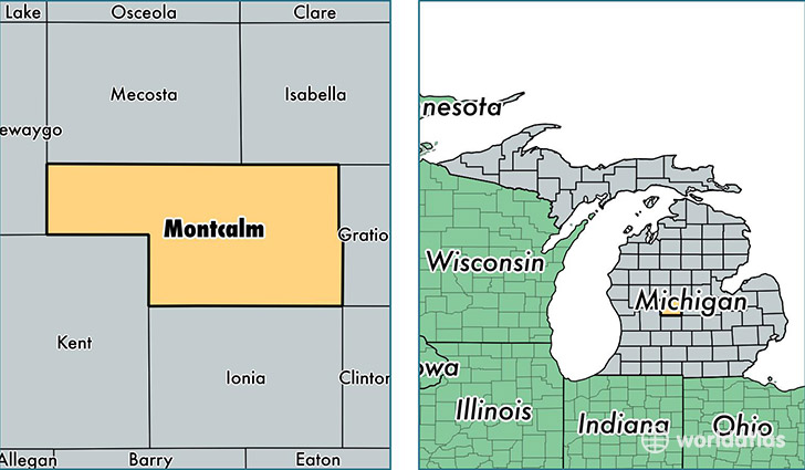
Montcalm County is a county equivalent area found in Michigan, USA. The county government of Montcalm is found in the county seat of Stanton.
With a total 1,866.93 sq. km of land and water area, Montcalm County, Michigan is the 1361st largest county equivalent area in the United States. Home to 62,893 people, Montcalm County has a total 27972 households earning 40451 on average per year.
Montcalm County, Michigan - Quick Facts
| FIPS Code | 26117 |
| Area Codes | 989,231 |
| Time Zone | EST |
| Major Cities | Greenville (population: 17,853), Howard City (population: 8,599), Stanton (population: 6,341), Carson City (population: 5,616), Lakeview (population: 4,469), Sheridan (population: 4,409), Edmore (population: 3,241), Vestaburg (population: 2,973), Crystal (population: 2,397), Pierson (population: 2,274) |
| Land Area | 24,283 sq miles |
| Water Area | 705 sq miles |
| Household Income | $40,451 |
| Housing Units | 27,972 |
| Median Home Value | $95,000 |
| High School Grads | 87% of population |
| Holders of Bachelors Degrees | 13% of population |
| Retail Spending | $8,962 per capita |
| Food & Accomodation Sales | $45,828 per capita |
This page was last updated on June 30, 2016.