Where is Isabella County, Michigan?
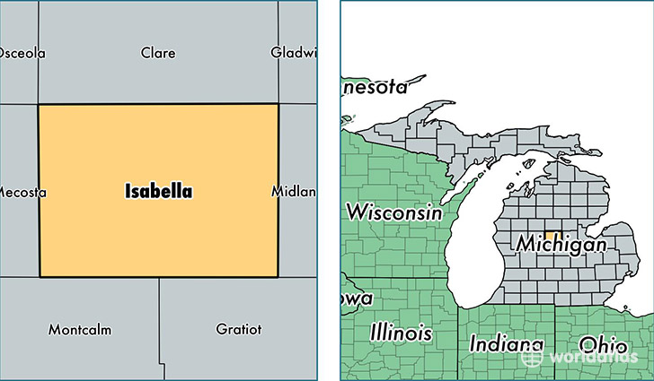
Isabella County is a county equivalent area found in Michigan, USA. The county government of Isabella is found in the county seat of Mount Pleasant.
With a total 1,496.19 sq. km of land and water area, Isabella County, Michigan is the 1848th largest county equivalent area in the United States. Home to 70,616 people, Isabella County has a total 28208 households earning 36372 on average per year.
Isabella County, Michigan - Quick Facts
| FIPS Code | 26073 |
| Area Codes | 989 |
| Time Zone | EST |
| Major Cities | Mount Pleasant (population: 50,242), Shepherd (population: 7,149), Weidman (population: 5,234), Blanchard (population: 3,036), Rosebush (population: 1,684), Winn (population: 154) |
| Land Area | 27,265 sq miles |
| Water Area | 573 sq miles |
| Household Income | $36,372 |
| Housing Units | 28,208 |
| Median Home Value | $119,800 |
| High School Grads | 90% of population |
| Holders of Bachelors Degrees | 25% of population |
| Retail Spending | $10,577 per capita |
| Food & Accomodation Sales | $117,754 per capita |
| Universities and Colleges | Central Michigan University |
This page was last updated on June 30, 2016.