Ionia County, MI, USA
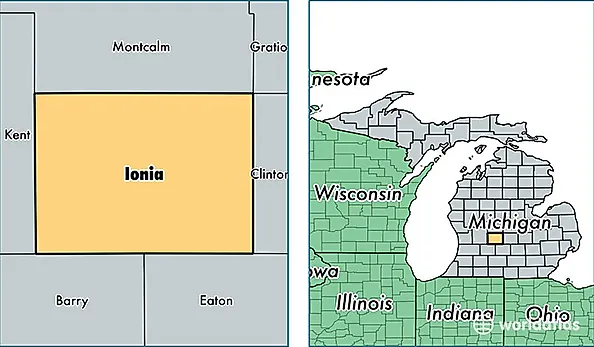
Ionia County is a county equivalent area found in Michigan, USA. The county government of Ionia is found in the county seat of Ionia.
With a total 1,502.31 sq. km of land and water area, Ionia County, Michigan is the 1832nd largest county equivalent area in the United States. Home to 64,294 people, Ionia County has a total 24505 households earning 47892 on average per year.
Ionia County, Michigan - Quick Facts
| FIPS Code | 26067 |
| Area Codes | 616,989,517 |
| Time Zone | EST |
| Major Cities | Ionia (population: 20,280), Belding (population: 11,052), Portland (population: 10,195), Lake Odessa (population: 5,717), Saranac (population: 5,504), Lyons (population: 2,366), Clarksville (population: 2,260), Orleans (population: 1,904), Pewamo (population: 1,617), Muir (population: 1,334) |
| Land Area | 24,824 sq miles |
| Water Area | 571 sq miles |
| Household Income | $47,892 |
| Housing Units | 24,505 |
| Median Home Value | $111,000 |
| High School Grads | 88% of population |
| Holders of Bachelors Degrees | 14% of population |
| Retail Spending | $6,976 per capita |
| Food & Accomodation Sales | $37,417 per capita |